
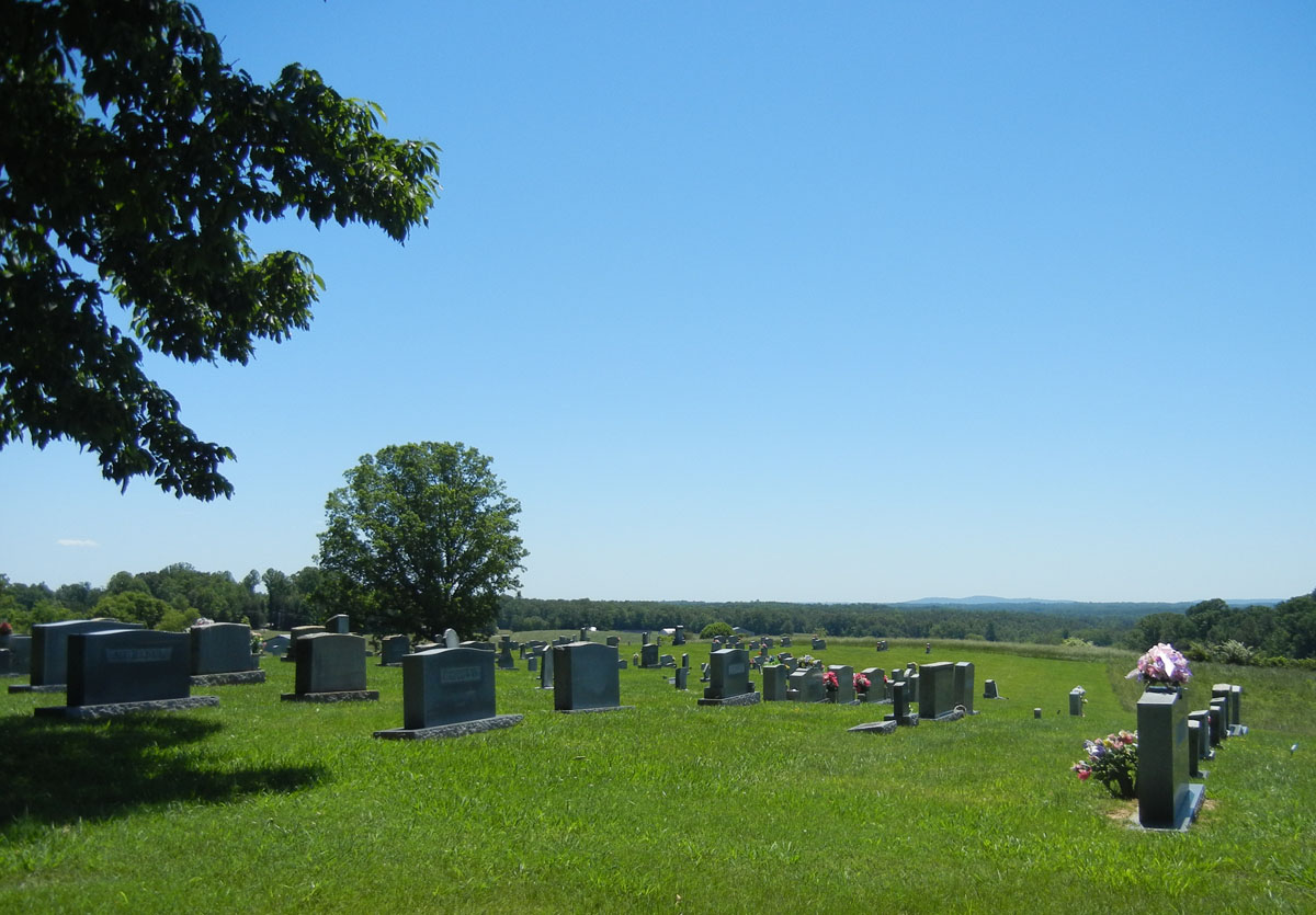
| Memorials | : | 272 |
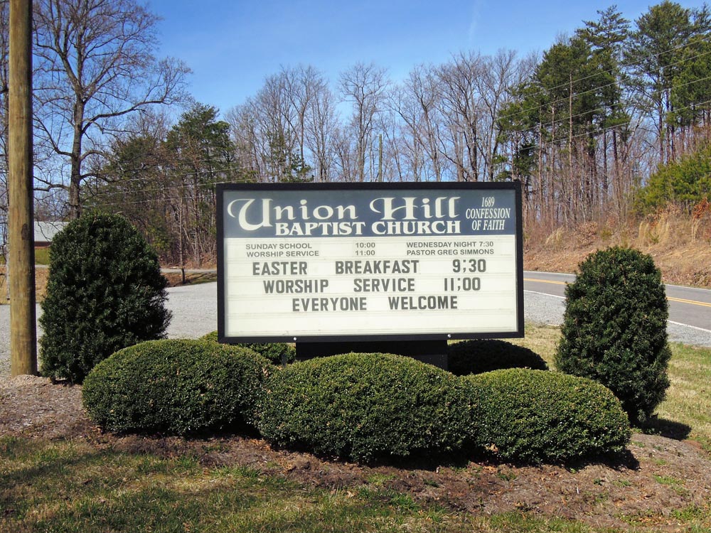
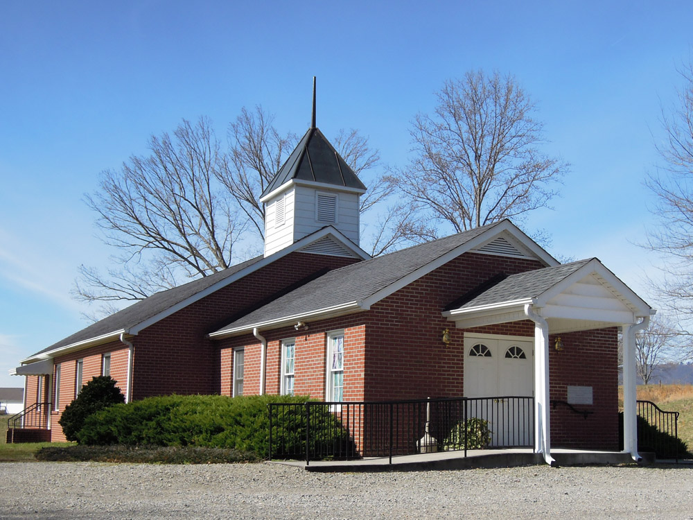
| Location | : | Union Hill, Surry County, USA |
| Coordinate | : | 36.4012500, -80.8848610 |
| Description | : | From the intersection of Union Hill Road and Haystack Road, travel approximately 2.64 miles on Union Hill Road; the church and cemetery will be on the right. |
frequently asked questions (FAQ):
-
Where is Union Hill Baptist Church Cemetery?
Union Hill Baptist Church Cemetery is located at 1213 Union Hill Road Union Hill, Surry County ,North Carolina , 28683USA.
-
Union Hill Baptist Church Cemetery cemetery's updated grave count on graveviews.com?
272 memorials
-
Where are the coordinates of the Union Hill Baptist Church Cemetery?
Latitude: 36.4012500
Longitude: -80.8848610
Nearby Cemetories:
1. Samuel Isaacks Cemetery
Thurmond, Surry County, USA
Coordinate: 36.3978610, -80.8729170
2. Harris Family Cemetery
Thurmond, Surry County, USA
Coordinate: 36.3858870, -80.8968290
3. Charity Hill Baptist Church Cemetery
Mountain Park, Surry County, USA
Coordinate: 36.3858070, -80.8671951
4. Rocky Ford Baptist Church Cemetery
Mountain Park, Surry County, USA
Coordinate: 36.4160576, -80.8523865
5. White Rock Methodist Cemetery
Thurmond, Surry County, USA
Coordinate: 36.3875008, -80.9192200
6. Mountain Park Cemetery
Mountain Park, Surry County, USA
Coordinate: 36.3770828, -80.8549194
7. Walker Cemetery
Thurmond, Surry County, USA
Coordinate: 36.4089012, -80.9266968
8. Kennedy Cemetery
Mountain Park, Surry County, USA
Coordinate: 36.3668740, -80.8746310
9. Thompson Cemetery
Dobson, Surry County, USA
Coordinate: 36.4347000, -80.9214020
10. Zachary Taylor Reynolds Tomb
Devotion, Surry County, USA
Coordinate: 36.4339100, -80.9236300
11. White Rock Road Cemetery
Surry County, USA
Coordinate: 36.4032900, -80.9410100
12. Lineberry Family Cemetery
Dobson, Surry County, USA
Coordinate: 36.3961300, -80.8276300
13. Smith-Jennings Family Cemetery
Elkin Township, Surry County, USA
Coordinate: 36.3736616, -80.8377105
14. Gid Branch Baptist Church Cemetery
Thurmond, Surry County, USA
Coordinate: 36.3708650, -80.9315800
15. State Road Primitive Baptist Church Cemetery
State Road, Surry County, USA
Coordinate: 36.3520279, -80.8977814
16. Carpenter - Snow Family Cemetery
Dobson, Surry County, USA
Coordinate: 36.4523330, -80.8820280
17. Cockerham Graveyard
Mountain Park, Surry County, USA
Coordinate: 36.3518100, -80.8540160
18. Reynolds Family Cemetery
Devotion, Surry County, USA
Coordinate: 36.4428400, -80.9302600
19. New Bethel Baptist Church Cemetery
Ladonia, Surry County, USA
Coordinate: 36.4505610, -80.8420590
20. Golden Family Cemetery
State Road, Surry County, USA
Coordinate: 36.3439700, -80.8567300
21. Swift Family Cemetery
Mountain Park, Surry County, USA
Coordinate: 36.3474731, -80.8469162
22. Moody Family Cemetery
State Road, Surry County, USA
Coordinate: 36.3382510, -80.8846200
23. Mann Family Cemetery
Elkin, Surry County, USA
Coordinate: 36.3656990, -80.8189490
24. Center Baptist Church Cemetery
Wilkes County, USA
Coordinate: 36.3481450, -80.9298270