
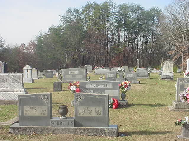
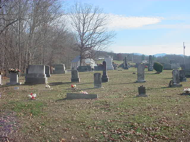
| Memorials | : | 3 |
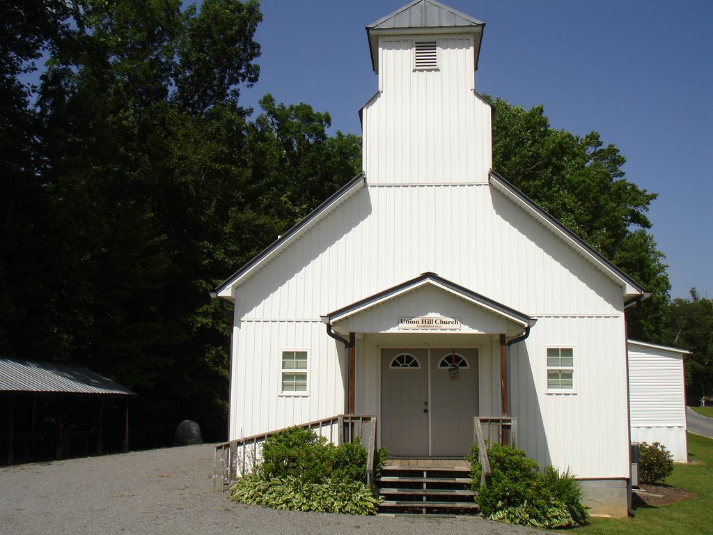
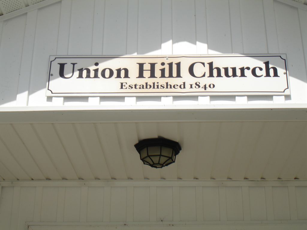
| Location | : | Hayesville, Clay County, USA |
| Coordinate | : | 35.0342370, -83.7314150 |
frequently asked questions (FAQ):
-
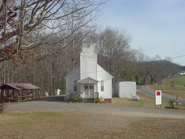
Where is Union Hill Cemetery?
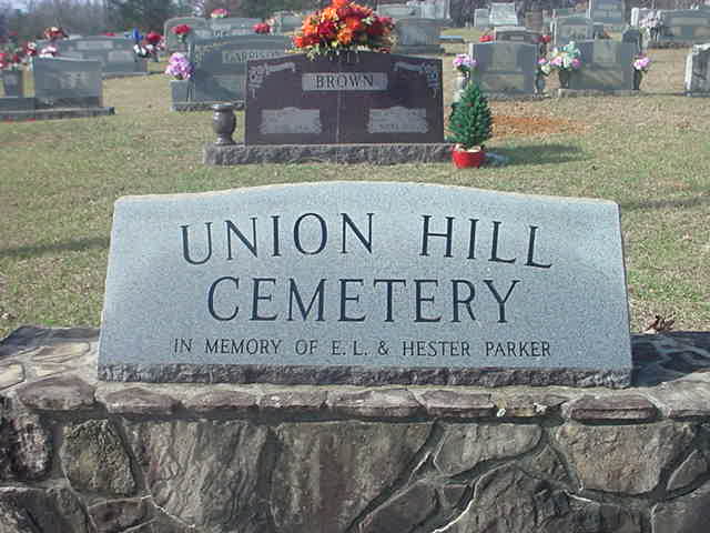
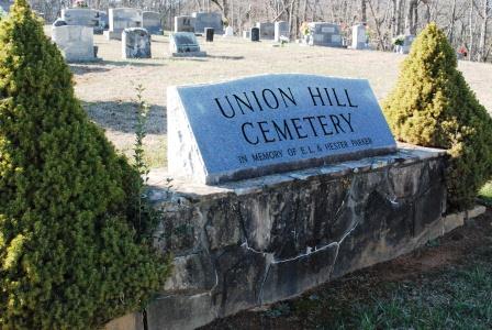
Union Hill Cemetery is located at Burnt Schoolhouse Rd Hayesville, Clay County ,North Carolina ,USA.
-
Union Hill Cemetery cemetery's updated grave count on graveviews.com?
2 memorials
-
Where are the coordinates of the Union Hill Cemetery?
Latitude: 35.0342370
Longitude: -83.7314150
Nearby Cemetories:
1. Mount Pleasant Cemetery
Hayesville, Clay County, USA
Coordinate: 35.0339500, -83.7290640
2. Old Shooting Creek Baptist Church Cemetery
Hayesville, Clay County, USA
Coordinate: 35.0214900, -83.7173900
3. Ledford Family Cemetery
Hayesville, Clay County, USA
Coordinate: 35.0307230, -83.7572210
4. Ledford Chapel Methodist Cemetery
Hayesville, Clay County, USA
Coordinate: 35.0306015, -83.7572021
5. Galloway Hill Cemetery
Clay County, USA
Coordinate: 35.0205994, -83.6866989
6. Philadelphia Baptist Church Cemetery
Hayesville, Clay County, USA
Coordinate: 35.0004500, -83.7616200
7. Old Ledford Chapel Cemetery
Hayesville, Clay County, USA
Coordinate: 34.9978371, -83.7596817
8. Oak View Baptist Church Cemetery
Hayesville, Clay County, USA
Coordinate: 35.0781890, -83.7518400
9. Shooting Creek Church of God Cemetery
Hayesville, Clay County, USA
Coordinate: 35.0227750, -83.6711320
10. Oak Forest Cemetery
Hayesville, Clay County, USA
Coordinate: 35.0369500, -83.7934800
11. Barnard Cemetery
Hayesville, Clay County, USA
Coordinate: 35.0236015, -83.7941971
12. Moss Memorial Baptist Church Cemetery
Hayesville, Clay County, USA
Coordinate: 35.0824040, -83.7617970
13. Episcopal Church of the Good Shepherd
Hayesville, Clay County, USA
Coordinate: 35.0340233, -83.7982178
14. Marshall's Chapel UMC Cemetery
Hayesville, Clay County, USA
Coordinate: 35.0230270, -83.6656550
15. Mission Hill Baptist Cemetery
Shooting Creek, Clay County, USA
Coordinate: 35.0243910, -83.6648690
16. Herbert Hills Cemetery
Hayesville, Clay County, USA
Coordinate: 35.0352450, -83.7990660
17. Good Shepherd Memorial Gardens
Hayesville, Clay County, USA
Coordinate: 35.0375320, -83.8017080
18. Shiloh Baptist Church Cemetery
Hayesville, Clay County, USA
Coordinate: 35.0664450, -83.7932750
19. McClure Cemetery
Clay County, USA
Coordinate: 35.0083008, -83.7988968
20. Bethabara Cemetery
Hayesville, Clay County, USA
Coordinate: 35.0063470, -83.6628070
21. Myers Chapel United Methodist Cemetery
Hayesville, Clay County, USA
Coordinate: 35.0023600, -83.8072400
22. First United Methodist Church Cemetery
Hayesville, Clay County, USA
Coordinate: 35.0364800, -83.8185920
23. Hayesville Baptist-Presbyterian Cemetery
Hayesville, Clay County, USA
Coordinate: 35.0377490, -83.8199330
24. Rogers Cemetery
Hayesville, Clay County, USA
Coordinate: 35.0393830, -83.8200920