| Memorials | : | 0 |
| Location | : | Burnside, Clearfield County, USA |
| Coordinate | : | 40.7875600, -78.7801900 |
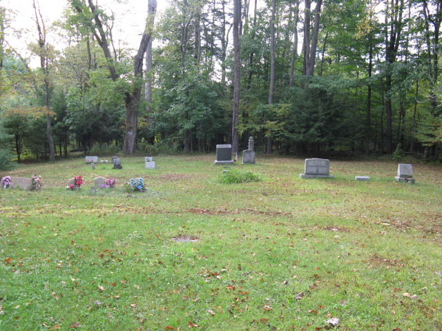
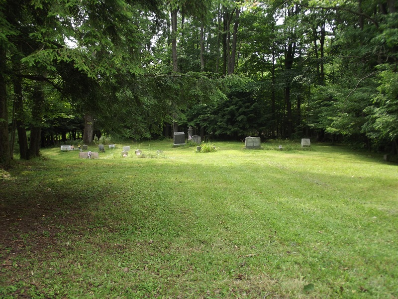
| Description | : | This cemetery is located at the site of the former United Brethren in Christ Church - from the records of the Western Pennsylvania Conference of the United Methodist Church, this church closed in the early 1900's- the last listed pastor was W. H. Artz 1899-1900. The church building no loger exists. Driving Directions Just north of Patchinville on RT 219 at a sharp right bend. The cemetery is on the left- there is a large parking area |
frequently asked questions (FAQ):
-
Where is United Brethren in Christ Church Cemetery?
United Brethren in Christ Church Cemetery is located at US 219 Burnside, Clearfield County ,Pennsylvania ,USA.
-
United Brethren in Christ Church Cemetery cemetery's updated grave count on graveviews.com?
0 memorials
-
Where are the coordinates of the United Brethren in Christ Church Cemetery?
Latitude: 40.7875600
Longitude: -78.7801900
Nearby Cemetories:
1. Patchinville Cemetery
Burnside, Clearfield County, USA
Coordinate: 40.7784900, -78.7754500
2. Burnside Cemetery
Burnside, Clearfield County, USA
Coordinate: 40.8100000, -78.7902000
3. Henry Cemetery
Indiana County, USA
Coordinate: 40.8033330, -78.8227780
4. Peles Cemetery
Indiana County, USA
Coordinate: 40.8071510, -78.8201450
5. Gardner-Bennett Cemetery
Glen Campbell, Indiana County, USA
Coordinate: 40.8064003, -78.8208008
6. Harmony Cemetery
Harmony, Clearfield County, USA
Coordinate: 40.7816000, -78.7291000
7. Mount Joy Cemetery
Burnside, Clearfield County, USA
Coordinate: 40.7951000, -78.7278000
8. Saint Michael's Cemetery
Glen Campbell, Indiana County, USA
Coordinate: 40.8114014, -78.8396988
9. Sunderland Cemetery
Clearfield County, USA
Coordinate: 40.8457985, -78.7827988
10. Cherry Tree Cemetery
Cherry Tree, Indiana County, USA
Coordinate: 40.7320000, -78.8132000
11. Mount Zion Independent Church Cemetery
Mahaffey, Clearfield County, USA
Coordinate: 40.8337040, -78.7255800
12. Citizens Cemetery
Cherry Tree, Indiana County, USA
Coordinate: 40.7290000, -78.8121000
13. Revolutionary War Baum Cemetery
Patton, Cambria County, USA
Coordinate: 40.7502700, -78.8525000
14. New Washington Cemetery
New Washington, Clearfield County, USA
Coordinate: 40.8263000, -78.7060000
15. Hazelet Cemetery
Cherry Tree, Indiana County, USA
Coordinate: 40.7423700, -78.8534180
16. Dunkard Cemetery
Newburg, Clearfield County, USA
Coordinate: 40.7939960, -78.6859630
17. Thompson Cemetery
Hillsdale, Indiana County, USA
Coordinate: 40.7546997, -78.8649979
18. Rowley Cemetery
Hillsdale, Indiana County, USA
Coordinate: 40.7649994, -78.8811035
19. Graham Cemetery
Rossiter, Indiana County, USA
Coordinate: 40.8532500, -78.8407500
20. Croasmun Family Cemetery
Indiana County, USA
Coordinate: 40.7312300, -78.8582900
21. LaJose Cemetery
Newburg, Clearfield County, USA
Coordinate: 40.8353004, -78.6857986
22. Mahaffey Cemetery
Mahaffey, Clearfield County, USA
Coordinate: 40.8703003, -78.7169037
23. Sabin Cemetery
Mahaffey, Clearfield County, USA
Coordinate: 40.8782080, -78.7332280
24. Montgomery Cemetery
Glen Campbell, Indiana County, USA
Coordinate: 40.7674000, -78.9078000


