
| Memorials | : | 11 |
| Location | : | Sauk Rapids, Benton County, USA |
| Coordinate | : | 45.6325710, -94.0490520 |
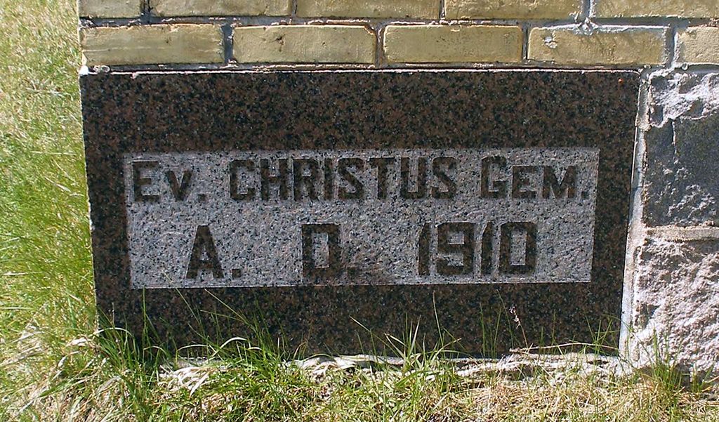
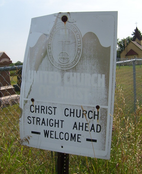
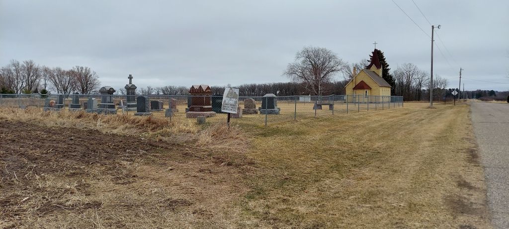
| Description | : | United Church of Christ Cemetery (Christ Church Cemetery) United Church of Christ is at 5575 45th Street NE (Minden twsp 5) just off Golden Spike Road NE (Co Rd 3), Minden township, Benton County. The church is no longer used for regular Sunday services but is occasionally used for other functions. The cemetery is between Golden Spike Road NE and the church, which is clearly visible from Golden Spike Road. On corner stone of church: Ev. Christus Gem. A. D. 1910 |
frequently asked questions (FAQ):
-
Where is United Church of Christ Cemetery?
United Church of Christ Cemetery is located at 5575 45th Street NE Sauk Rapids, Benton County ,Minnesota ,USA.
-
United Church of Christ Cemetery cemetery's updated grave count on graveviews.com?
11 memorials
-
Where are the coordinates of the United Church of Christ Cemetery?
Latitude: 45.6325710
Longitude: -94.0490520

Nearby Cemetories:
1. Saint Johns Lutheran Cemetery
Popple Creek, Benton County, USA
Coordinate: 45.6656800, -94.0235600
2. Popple Creek Pioneer Cemetery
Foley, Benton County, USA
Coordinate: 45.6763600, -94.0110700
3. Saint Patrick's Cemetery
Benton County, USA
Coordinate: 45.5827900, -94.0119700
4. Church of the Annunciation Cemetery
Mayhew, Benton County, USA
Coordinate: 45.7012634, -94.1152344
5. Trinity Lutheran Cemetery
Sauk Rapids, Benton County, USA
Coordinate: 45.5867004, -94.1492004
6. Sacred Heart Cemetery
Sauk Rapids, Benton County, USA
Coordinate: 45.5872002, -94.1513977
7. Benton County Cemetery
Sauk Rapids, Benton County, USA
Coordinate: 45.5853004, -94.1500015
8. Hilltop Mausoleum
Sauk Rapids, Benton County, USA
Coordinate: 45.5863900, -94.1512400
9. Pioneer Cemetery
Sauk Rapids, Benton County, USA
Coordinate: 45.5846410, -94.1535190
10. Saint Clares Monastery Mausoleum
Sauk Rapids, Benton County, USA
Coordinate: 45.5878690, -94.1586060
11. Saint Marys Cemetery
Benton County, USA
Coordinate: 45.7131004, -94.1119003
12. Saint Lawrence Cemetery
Duelm, Benton County, USA
Coordinate: 45.5738983, -93.9356003
13. Reformatory Cemetery
Haven Township, Sherburne County, USA
Coordinate: 45.5412030, -94.1127980
14. Saint Pauls Lutheran Cemetery
Foley, Benton County, USA
Coordinate: 45.6670420, -93.8994690
15. Saint Johns Catholic Cemetery
Foley, Benton County, USA
Coordinate: 45.6666985, -93.8989029
16. Oak Hill Cemetery
Sartell, Stearns County, USA
Coordinate: 45.6216927, -94.2125473
17. Saint Francis Xavier Cemetery
Sartell, Stearns County, USA
Coordinate: 45.6221275, -94.2142792
18. Graham United Methodist Cemetery
Benton County, USA
Coordinate: 45.7505989, -94.1125031
19. Saint Peter and Paul Catholic Cemetery
Gilman, Benton County, USA
Coordinate: 45.7359770, -93.9447680
20. Brockway Cemetery
Stearns County, USA
Coordinate: 45.6889000, -94.2164001
21. Assumption Cemetery
Saint Cloud, Stearns County, USA
Coordinate: 45.5307999, -94.1650009
22. North Star Cemetery
Saint Cloud, Stearns County, USA
Coordinate: 45.5386009, -94.1802979
23. First United Methodist Church Memorial Garden
Sartell, Stearns County, USA
Coordinate: 45.6044480, -94.2328560
24. Calvary Cemetery
Saint Cloud, Stearns County, USA
Coordinate: 45.5349998, -94.1757965