
| Memorials | : | 1 |
| Location | : | Hollowville, Columbia County, USA |
| Coordinate | : | 42.1973000, -73.6743000 |
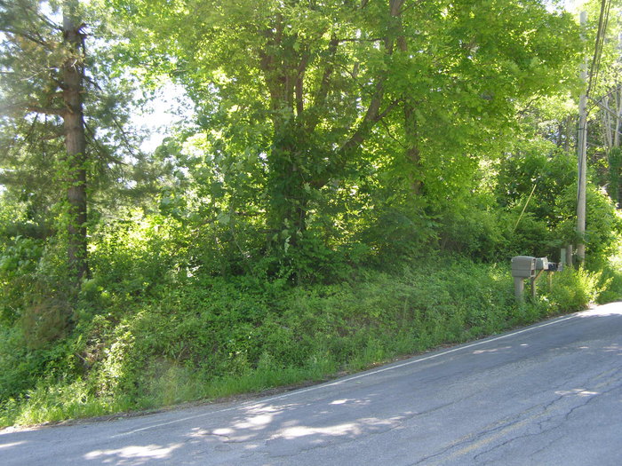
| Description | : | Located on corner of Bates Road and Snydertown Road, just past Hollowville. Cemetery in on high ground right next to the road and directly across from Bates Road ext. It is enclosed with a split rail fence. Overgrown and does contains PI. careful. |
frequently asked questions (FAQ):
-
Where is Van Deusen Cemetery?
Van Deusen Cemetery is located at corner of Bates Road and Snydertown Road Hollowville, Columbia County ,New York ,USA.
-
Van Deusen Cemetery cemetery's updated grave count on graveviews.com?
1 memorials
-
Where are the coordinates of the Van Deusen Cemetery?
Latitude: 42.1973000
Longitude: -73.6743000
Nearby Cemetories:
1. Martindale Cemetery
Martindale, Columbia County, USA
Coordinate: 42.2075691, -73.6330109
2. Saint Thomas Evangelical Lutheran Church Cemetery
Churchtown, Columbia County, USA
Coordinate: 42.1754799, -73.7185364
3. Van Deusen Cemetery
Claverack, Columbia County, USA
Coordinate: 42.2083400, -73.7324000
4. Claverack Dutch Reformed Churchyard
Claverack, Columbia County, USA
Coordinate: 42.2287407, -73.7335968
5. Union Cemetery of Mellenville
Mellenville, Columbia County, USA
Coordinate: 42.2536011, -73.6611023
6. Henry W. Livingston House Cemetery
Livingston, Columbia County, USA
Coordinate: 42.1777800, -73.7488200
7. Sacred Heart Catholic Cemetery
Philmont, Columbia County, USA
Coordinate: 42.2505989, -73.6350021
8. North Copake Cemetery
Craryville, Columbia County, USA
Coordinate: 42.1758003, -73.5935974
9. Spook Rock Cemetery
Greenport Center, Columbia County, USA
Coordinate: 42.2161860, -73.7582590
10. West Hillsdale Baptist Cemetery
Hillsdale, Columbia County, USA
Coordinate: 42.1819801, -73.5800171
11. Presbyterian Church Cemetery
Craryville, Columbia County, USA
Coordinate: 42.1884499, -73.5756226
12. Krum Church Cemetery
Hillsdale, Columbia County, USA
Coordinate: 42.2449989, -73.5932999
13. West Taghkanic Methodist Church Cemetery
West Taghkanic, Columbia County, USA
Coordinate: 42.1249199, -73.7203522
14. Cedar Park Cemetery
Hudson, Columbia County, USA
Coordinate: 42.2449120, -73.7722060
15. Route 23 Burial Ground
Hudson, Columbia County, USA
Coordinate: 42.2077637, -73.7909088
16. Hudson City Cemetery
Hudson, Columbia County, USA
Coordinate: 42.2454720, -73.7734620
17. Livingston Cemetery New
Livingston, Columbia County, USA
Coordinate: 42.1418991, -73.7753830
18. Livingston Reformed Cemetery
Livingston, Columbia County, USA
Coordinate: 42.1423492, -73.7762909
19. Mount Pleasant Reformed Church Cemetery
Hudson, Columbia County, USA
Coordinate: 42.1987000, -73.8020500
20. Harlemville German Cemetery
Harlemville, Columbia County, USA
Coordinate: 42.2655258, -73.5838699
21. Swartwout Memorial Cemetery
Hudson, Columbia County, USA
Coordinate: 42.2583008, -73.7750015
22. German Church Cemetery
Ghent, Columbia County, USA
Coordinate: 42.2937400, -73.6571400
23. Firemen's Home Cemetery
Hudson, Columbia County, USA
Coordinate: 42.2577600, -73.7772900
24. Harlemville Rural Cemetery
Harlemville, Columbia County, USA
Coordinate: 42.2710991, -73.5847015