
| Memorials | : | 0 |
| Location | : | Cave City, Sharp County, USA |
| Coordinate | : | 36.0088280, -91.4687940 |
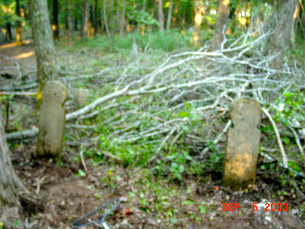
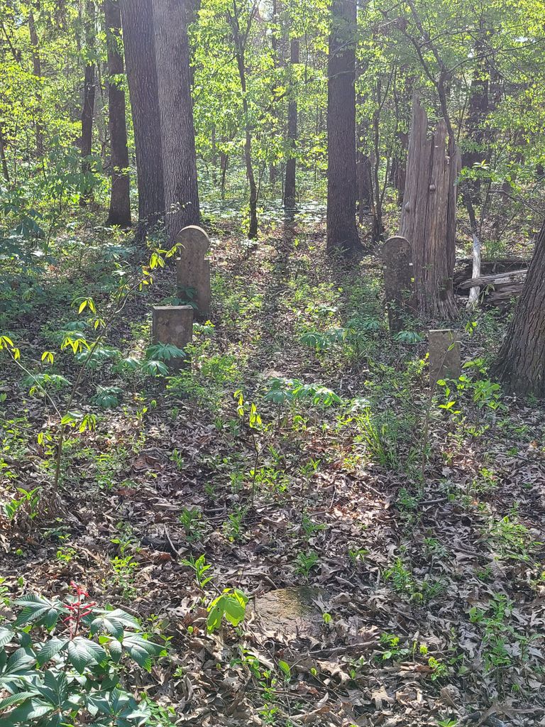
| Description | : | The cemetery is located about 1/4 mile North West and behind the residence at 1394 Highway 115 and being 6.8 miles North East of Highway 167 in Cave City, behind the property of Crabtree and Brown families. Located in the NE1/4 of the NW1/4 of the NE1/4 of Section 25, Township 16N, Range 5W in Sharp Co. , 36'00'.31.78 N, 91'28'.07.66 W, 400 ft. elevation. It is a private resident on the north side of Highway 115, you have to park at the house and ask for permission to go back to... Read More |
frequently asked questions (FAQ):
-
Where is Wainwright Cemetery?
Wainwright Cemetery is located at Hwy 115 Cave City, Sharp County ,Arkansas ,USA.
-
Wainwright Cemetery cemetery's updated grave count on graveviews.com?
0 memorials
-
Where are the coordinates of the Wainwright Cemetery?
Latitude: 36.0088280
Longitude: -91.4687940
Nearby Cemetories:
1. Parsley Cemetery
Calamine, Sharp County, USA
Coordinate: 36.0008000, -91.4675000
2. McAdams Cemetery
Sharp County, USA
Coordinate: 36.0182991, -91.4580994
3. Mount Pisgah Cemetery
Sharp County, USA
Coordinate: 36.0381012, -91.4880981
4. Barnet Cemetery
Calamine, Sharp County, USA
Coordinate: 35.9760440, -91.4483500
5. Fairview Cemetery
Cave City, Sharp County, USA
Coordinate: 35.9585600, -91.4805200
6. Jarrett Cemetery
Sharp County, USA
Coordinate: 36.0611000, -91.4922028
7. Wilkerson Cemetery
Sharp County, USA
Coordinate: 35.9658012, -91.4235992
8. Sullivan Cemetery
Calamine, Sharp County, USA
Coordinate: 35.9989500, -91.3938900
9. James Spring Cemetery
Sharp County, USA
Coordinate: 36.0625000, -91.4297028
10. Powells Chapel Cemetery
Poughkeepsie, Sharp County, USA
Coordinate: 36.0421982, -91.5357971
11. Parsley Cemetery
Sharp County, USA
Coordinate: 35.9618988, -91.4143982
12. Shaver Cemetery
Shelbyville, Sharp County, USA
Coordinate: 35.9651990, -91.4016580
13. Shaver Cemetery
Sharp County, USA
Coordinate: 35.9646988, -91.4013977
14. Roe Cemetery
Sharp County, USA
Coordinate: 35.9735985, -91.3925018
15. Perkey Cemetery
Cave City, Sharp County, USA
Coordinate: 35.9873810, -91.5533760
16. Mount View Cemetery
Cave City, Sharp County, USA
Coordinate: 35.9371986, -91.4436035
17. Dawson Cemetery
Sharp County, USA
Coordinate: 35.9324989, -91.4505997
18. Lebanon Cemetery
Nelsonville, Sharp County, USA
Coordinate: 36.0814300, -91.4243100
19. Barnes Cemetery
Poughkeepsie, Sharp County, USA
Coordinate: 36.0778008, -91.5314026
20. Milligan Campground Cemetery
Sharp County, USA
Coordinate: 35.9740200, -91.3721200
21. Marvin Cemetery
Sharp County, USA
Coordinate: 36.0668983, -91.3839035
22. Maxville Cemetery
Cave City, Sharp County, USA
Coordinate: 35.9986000, -91.5802994
23. Gardner Cemetery
Sharp County, USA
Coordinate: 35.9508018, -91.3822021
24. Spotts Cemetery
Sharp County, USA
Coordinate: 36.1041985, -91.4644012