
| Memorials | : | 0 |
| Location | : | Aachen, Stadtkreis Aachen, Germany |
| Coordinate | : | 50.7468610, 6.1075560 |
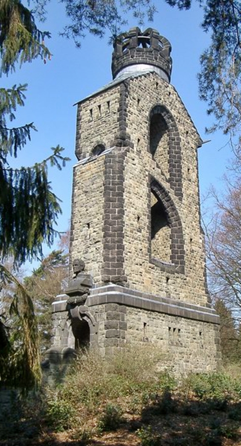
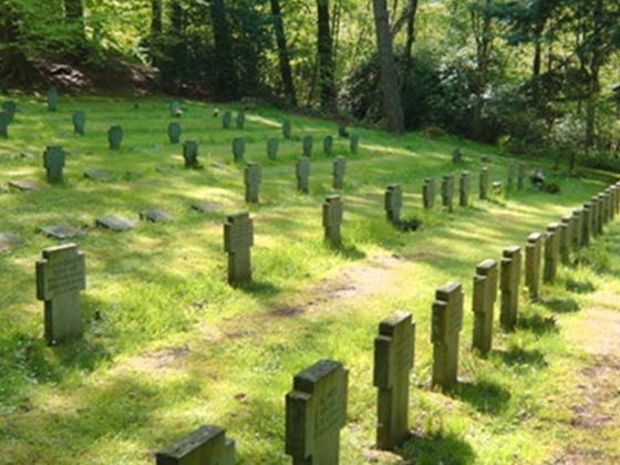
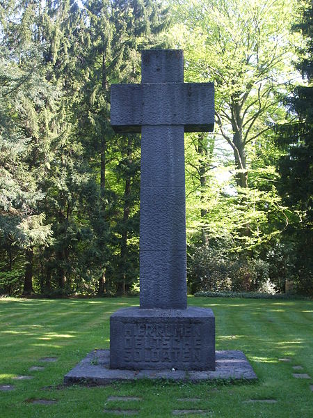
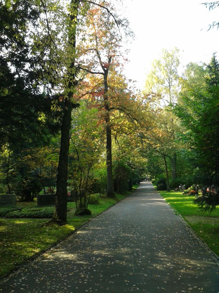
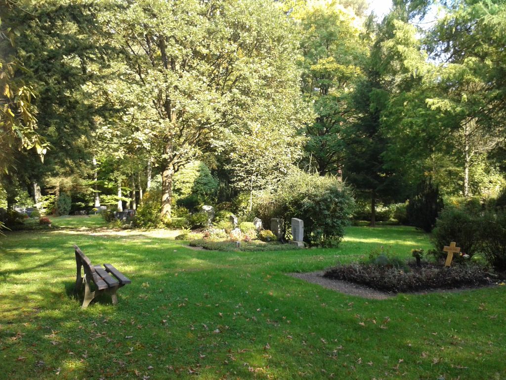
| Description | : | The Waldfriedhof (Forest Cemtery) has military and civilian grave sections, final resting places for victims of World War I and II. Those also contain hundreds of graves of soldiers from 16 countries. Several monuments commemorate the victims of the Nazi-period in Germany. Opened in 1939 it has a size of 54.2 acres. It is one of 25 cemeteries in the city: Friedhof Heissberg Ostfriedhof Friedhof Hüls Friedhof Verlautenheide Friedhof Hand Friedhof Horbach Friedhof Richterich Westfriedhof I Westfriedhof II Friedhof Friesenrath Friedhof Nirmer Strasse Waldfriedhof in Aachen Friedhof Lintert Friedhof Schleckheim Friedhof Kolpingstrasse Friedhof Eschenallee (defunct) Grabeskirche Sankt Josef Friedhof "An der Kirche Hand" Friedhof "An der Kirche St. Severin" Friedhof "An der Kirche St. Stephan" Friedhof "Forst" Friedhof "Friesenstraße" Friedhof "Hahn"... Read More |
frequently asked questions (FAQ):
-
Where is Waldfriedhof in Aachen?
Waldfriedhof in Aachen is located at Monschauer Straße 65 Aachen, Stadtkreis Aachen ,Nordrhein-Westfalen , 52076Germany.
-
Waldfriedhof in Aachen cemetery's updated grave count on graveviews.com?
0 memorials
-
Where are the coordinates of the Waldfriedhof in Aachen?
Latitude: 50.7468610
Longitude: 6.1075560
Nearby Cemetories:
1. Friedhof Lintert in Aachen
Aachen, Stadtkreis Aachen, Germany
Coordinate: 50.7483770, 6.1244040
2. Friedhof Heissberg
Burtscheid, Stadtkreis Aachen, Germany
Coordinate: 50.7584200, 6.0939400
3. Grabeskirche Saint Josef
Aachen, Stadtkreis Aachen, Germany
Coordinate: 50.7746330, 6.1081830
4. Ostfriedhof in Aachen
Aachen, Stadtkreis Aachen, Germany
Coordinate: 50.7762580, 6.1071750
5. Lütticher Strasse Friedhof
Aachen, Stadtkreis Aachen, Germany
Coordinate: 50.7665500, 6.0722700
6. Cathedral of Aachen
Aachen, Stadtkreis Aachen, Germany
Coordinate: 50.7746940, 6.0838890
7. Friedhof Lichtenbusch
Aachen, Stadtkreis Aachen, Germany
Coordinate: 50.7150940, 6.1271460
8. Friedhof Eschenallee in Aachen-Brand
Aachen, Stadtkreis Aachen, Germany
Coordinate: 50.7478750, 6.1631740
9. Friedhof Schleckheim
Aachen, Stadtkreis Aachen, Germany
Coordinate: 50.7209910, 6.1489750
10. Friedhof Aachen-Brand
Aachen, Stadtkreis Aachen, Germany
Coordinate: 50.7540380, 6.1707970
11. Friedhof An der Kirche St. Severin
Aachen, Stadtkreis Aachen, Germany
Coordinate: 50.7786295, 6.1516810
12. Westfriedhof I in Aachen
Aachen, Stadtkreis Aachen, Germany
Coordinate: 50.7681950, 6.0496470
13. Westfriedhof II in Aachen
Aachen, Stadtkreis Aachen, Germany
Coordinate: 50.7695390, 6.0508700
14. Friedhof Huels in Aachen
Aachen, Stadtkreis Aachen, Germany
Coordinate: 50.7850000, 6.1384180
15. Friedhof Verlautenheide in Aachen
Aachen, Stadtkreis Aachen, Germany
Coordinate: 50.7971470, 6.1498550
16. Friedhof Aachen-Laurensberg
Laurensberg, Stadtkreis Aachen, Germany
Coordinate: 50.8013800, 6.0536400
17. Friedhof Berensberg in Kohlscheid
Aachen, Stadtkreis Aachen, Germany
Coordinate: 50.8112090, 6.0946760
18. Protestantse Begraafplaats
Vaals Municipality, Netherlands
Coordinate: 50.7677076, 6.0102633
19. Joodse Begraafplaats
Vaals Municipality, Netherlands
Coordinate: 50.7675447, 6.0093436
20. Friedhof Stolberg Büsbach
Stolberg, Stadtkreis Aachen, Germany
Coordinate: 50.7508434, 6.2118017
21. Friedhof Hand in Aachen
Aachen, Stadtkreis Aachen, Germany
Coordinate: 50.8061790, 6.0503770
22. Zentralfriedhof St. Sebastian
Aachen, Stadtkreis Aachen, Germany
Coordinate: 50.8148509, 6.1308514
23. Friedhof Friesenrath in Aachen
Aachen, Stadtkreis Aachen, Germany
Coordinate: 50.6977170, 6.1853540
24. Gemmenich Churchyard
Plombières, Arrondissement de Verviers, Belgium
Coordinate: 50.7464484, 5.9948675