
| Memorials | : | 0 |
| Location | : | Waldthurn, Landkreis Neustadt an der Waldnaab, Germany |
| Coordinate | : | 49.6733979, 12.3310412 |
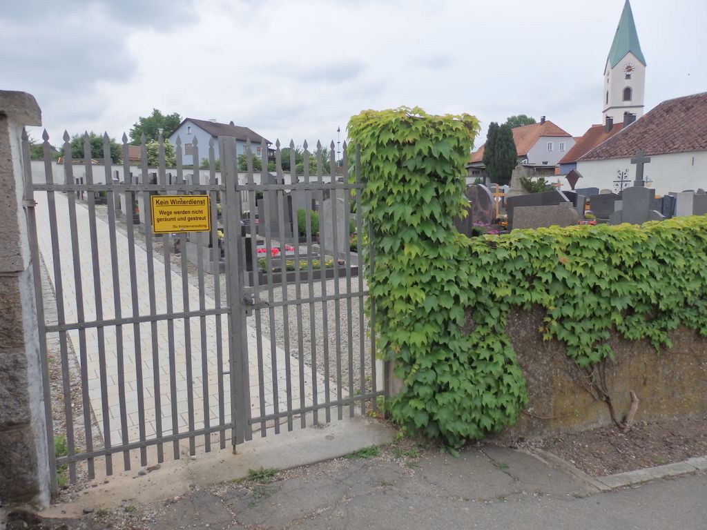
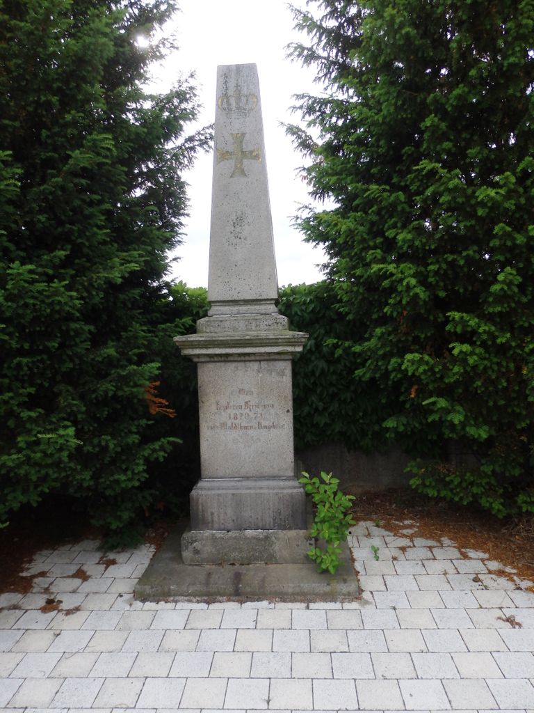
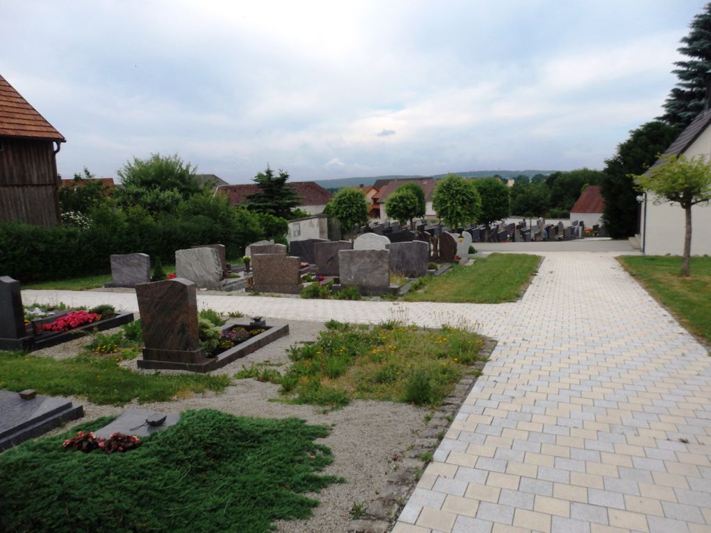
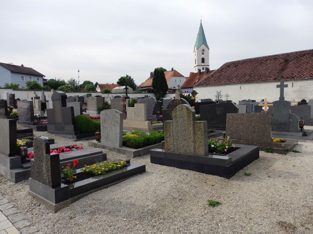
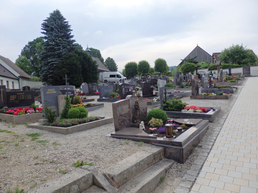
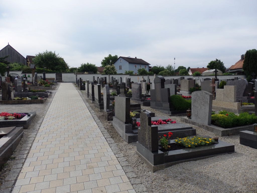
| Description | : | This is the only cemetery within the Waldthurn city limits. It is known only as the "Friedhof", which is German for cemetery. It does not have an assigned street number. 90 percent of the interment are Roman Catholic. Some Graves are family Graves with no information other than last name. In Germany, graves are only rented for terms of 15-30 years. If another body is added to the grave, the clock resets. If the rental contract is not renewed, the remains are dug up and disposed of and the grave is reused. In this particular cemetery, the grave sites are... Read More |
frequently asked questions (FAQ):
-
Where is Waldthurn Cemetery?
Waldthurn Cemetery is located at Waldthurn, Landkreis Neustadt an der Waldnaab ,Bavaria (Bayern) , 92727Germany.
-
Waldthurn Cemetery cemetery's updated grave count on graveviews.com?
0 memorials
-
Where are the coordinates of the Waldthurn Cemetery?
Latitude: 49.6733979
Longitude: 12.3310412
Nearby Cemetories:
1. Friedhof Vohenstrauss
Vohenstrauss, Landkreis Neustadt an der Waldnaab, Germany
Coordinate: 49.6257373, 12.3443936
2. Flossenbürg Concentration Camp Memorial
Flossenburg, Landkreis Neustadt an der Waldnaab, Germany
Coordinate: 49.7355560, 12.3558330
3. St. Peter und Paul Kirche
Moosbach, Landkreis Neustadt an der Waldnaab, Germany
Coordinate: 49.5916339, 12.4089772
4. Stadtfriedhof Weiden
Mantel, Landkreis Neustadt an der Waldnaab, Germany
Coordinate: 49.6832931, 12.1679767
5. Stadtfriedhof Weiden
Weiden, Stadtkreis Weiden in der Oberpfalz, Germany
Coordinate: 49.6830060, 12.1674850
6. Friedhof Altenstadt
Neustadt an der Waldnaab, Landkreis Neustadt an der Waldnaab, Germany
Coordinate: 49.7209529, 12.1614447
7. Waldfriedhof Weiden in der Oberpfalz
Weiden, Stadtkreis Weiden in der Oberpfalz, Germany
Coordinate: 49.6893160, 12.1231430
8. Friedhof Bärnau
Bärnau, Landkreis Tirschenreuth, Germany
Coordinate: 49.8099010, 12.4323170
9. Friedhof Windischeschenbach
Windischeschenbach, Landkreis Neustadt an der Waldnaab, Germany
Coordinate: 49.8028010, 12.1589940
10. hřbitov Staré Sedliště
Labut, Okres Tachov, Czech Republic
Coordinate: 49.7140383, 12.6672017
11. Židovský hřbitov Nové Sedliště
Nove Sedliste, Okres Tachov, Czech Republic
Coordinate: 49.7301830, 12.6697950
12. Friedhof Wiesau
Wiesau, Landkreis Tirschenreuth, Germany
Coordinate: 49.9092600, 12.1874900
13. hřbitov Bělá nad Radbuzou
Bela nad Radbuzou, Okres Domažlice, Czech Republic
Coordinate: 49.5877468, 12.7189947
14. Friedhof
Pressath, Landkreis Neustadt an der Waldnaab, Germany
Coordinate: 49.7686420, 11.9397076
15. Friedhofsverwaltung Grafenwöhr (Friedhofsamt)
Grafenwohr, Landkreis Neustadt an der Waldnaab, Germany
Coordinate: 49.7180378, 11.9071789
16. Church of the Finding of the Holy Cross
Ujezd, Okres Domažlice, Czech Republic
Coordinate: 49.5769833, 12.7457753
17. Hřbitov Mutěnín
Mutenin, Okres Domažlice, Czech Republic
Coordinate: 49.5434390, 12.7384260
18. Friedhof Mitterauerbach
Mitterauerbach, Landkreis Schwandorf, Germany
Coordinate: 49.3785323, 12.2711369
19. Zajatecký Hřbitov z První Světové Války
Plana, Okres Tachov, Czech Republic
Coordinate: 49.8533360, 12.7083540
20. Židovský hřbitov Mutěnín
Mutenin, Okres Domažlice, Czech Republic
Coordinate: 49.5411639, 12.7523859
21. Hřbitovní kaple Nanebevzetí Panny Marie
Hostoun, Okres Domažlice, Czech Republic
Coordinate: 49.5577260, 12.7713209
22. St. Martin
Gebenbach, Landkreis Amberg-Sulzbach, Germany
Coordinate: 49.5393458, 11.8984362
23. Friedhof Neunburg
Neunburg vorm Wald, Landkreis Schwandorf, Germany
Coordinate: 49.3481151, 12.3923919
24. Židovský Hřbitov Drmoul
Drmoul, Okres Cheb, Czech Republic
Coordinate: 49.9412520, 12.6426500