
| Memorials | : | 37 |
| Location | : | Montgomery County, USA |
| Coordinate | : | 40.9519005, -95.3741989 |
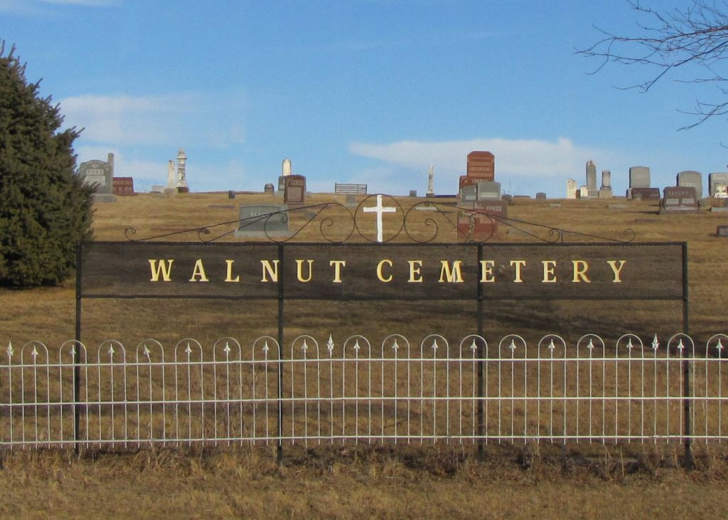
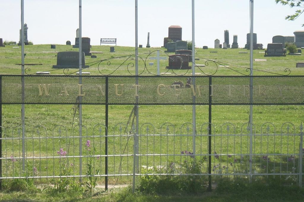
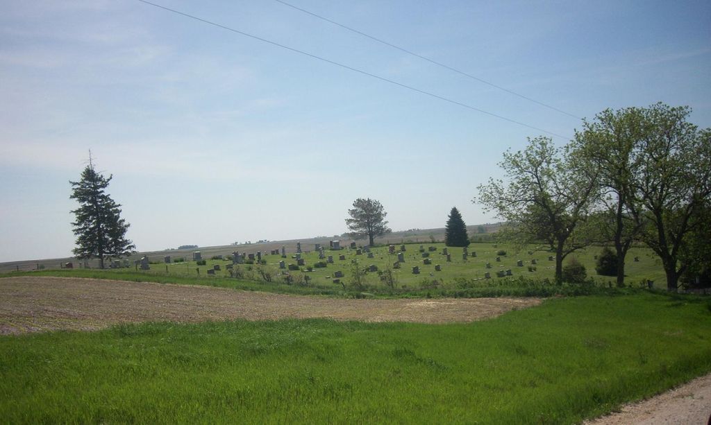
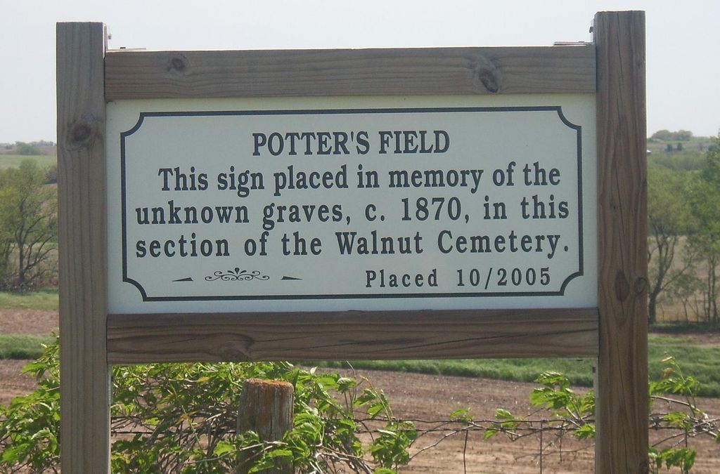
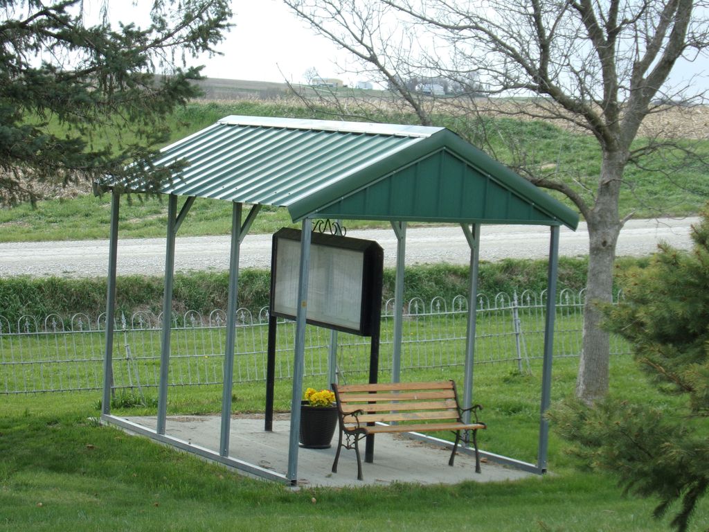
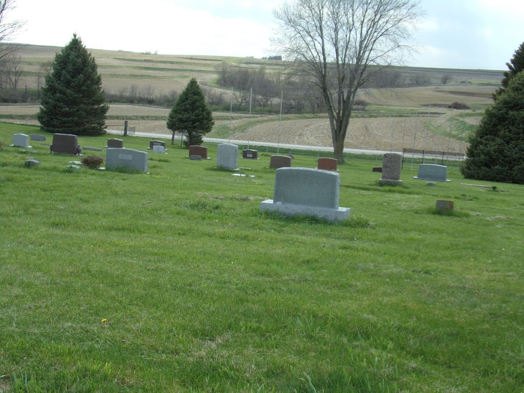
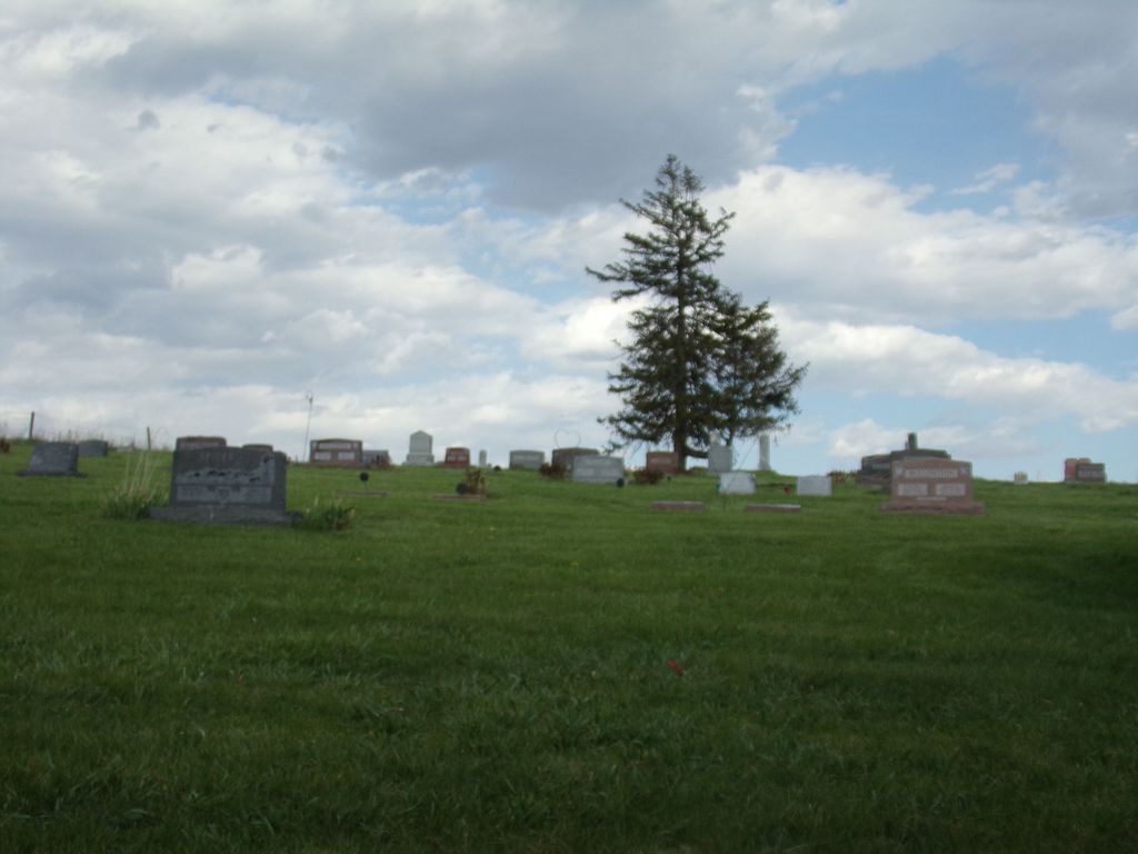
| Description | : | Walnut Cemetery has been called the "Hascall Cemetery" and the "Walnut Creek Cemetery." It is a rural cemetery located four miles south of Emerson, Mills County, Iowa , on Hwy 59 and one-half mile east. The cemetery is located in West Township, Montgomery County, Iowa, but is close to the border of Mills County, Iowa. The closest town was Climax, Iowa, which is now an abandoned town. Walnut Creek was used to operate a saw mill, and later a mill for grinding grain. At one time, the only iron bridge across Walnut Creek was in the town of Climax. ... Read More |
frequently asked questions (FAQ):
-
Where is Walnut Cemetery?
Walnut Cemetery is located at Montgomery County ,Iowa ,USA.
-
Walnut Cemetery cemetery's updated grave count on graveviews.com?
37 memorials
-
Where are the coordinates of the Walnut Cemetery?
Latitude: 40.9519005
Longitude: -95.3741989
Nearby Cemetories:
1. David Farm Cemetery
West Township, Montgomery County, USA
Coordinate: 40.9249960, -95.3766593
2. Salem Cemetery
Red Oak, Montgomery County, USA
Coordinate: 40.9733009, -95.3088989
3. Monroe Cemetery
Imogene, Fremont County, USA
Coordinate: 40.8880997, -95.4222031
4. Franklin Grove Cemetery
Essex, Page County, USA
Coordinate: 40.8883018, -95.3106003
5. Emerson Cemetery
Emerson, Mills County, USA
Coordinate: 41.0325012, -95.4021988
6. Mount Calvary Cemetery
Imogene, Fremont County, USA
Coordinate: 40.8724000, -95.4208000
7. North Grove Cemetery
Hastings, Mills County, USA
Coordinate: 41.0161018, -95.4618988
8. South Grove Cemetery
Mills County, USA
Coordinate: 40.9775009, -95.4931030
9. Lowens Cemetery
Garfield Township, Montgomery County, USA
Coordinate: 41.0527728, -95.3758292
10. Hastings Cemetery
Hastings, Mills County, USA
Coordinate: 41.0097008, -95.4993973
11. Parker Cemetery
White Cloud, Mills County, USA
Coordinate: 40.9737649, -95.5184363
12. Hewitt Cemetery
Red Oak, Montgomery County, USA
Coordinate: 40.9850006, -95.2335968
13. Hadden Grove Cemetery
Essex, Page County, USA
Coordinate: 40.8656006, -95.2680969
14. Essex Cemetery
Essex, Page County, USA
Coordinate: 40.8358002, -95.2818985
15. Riverside Cemetery
Randolph, Fremont County, USA
Coordinate: 40.8806000, -95.5269012
16. Evergreen Cemetery
Red Oak, Montgomery County, USA
Coordinate: 41.0228004, -95.2205963
17. Plum Thicket Cemetery
Nyman, Page County, USA
Coordinate: 40.8916600, -95.2058208
18. Saint Marys Cemetery
Red Oak, Montgomery County, USA
Coordinate: 41.0447006, -95.2275009
19. Shank Cemetery
Red Oak, Montgomery County, USA
Coordinate: 41.0019500, -95.1918300
20. Wearin Cemetery
Malvern, Mills County, USA
Coordinate: 41.0395000, -95.5313000
21. Mount Hope Cemetery
Nyman, Page County, USA
Coordinate: 40.8788986, -95.2046967
22. Malvern Cemetery
Malvern, Mills County, USA
Coordinate: 40.9886017, -95.5785980
23. Randolph Cemetery
Randolph, Fremont County, USA
Coordinate: 40.8769493, -95.5695038
24. Saint Clair Cemetery
Red Oak Township, Montgomery County, USA
Coordinate: 41.0598400, -95.2049810