| Memorials | : | 7 |
| Location | : | Oakland, Jefferson County, USA |
| Coordinate | : | 42.9616680, -88.8955740 |
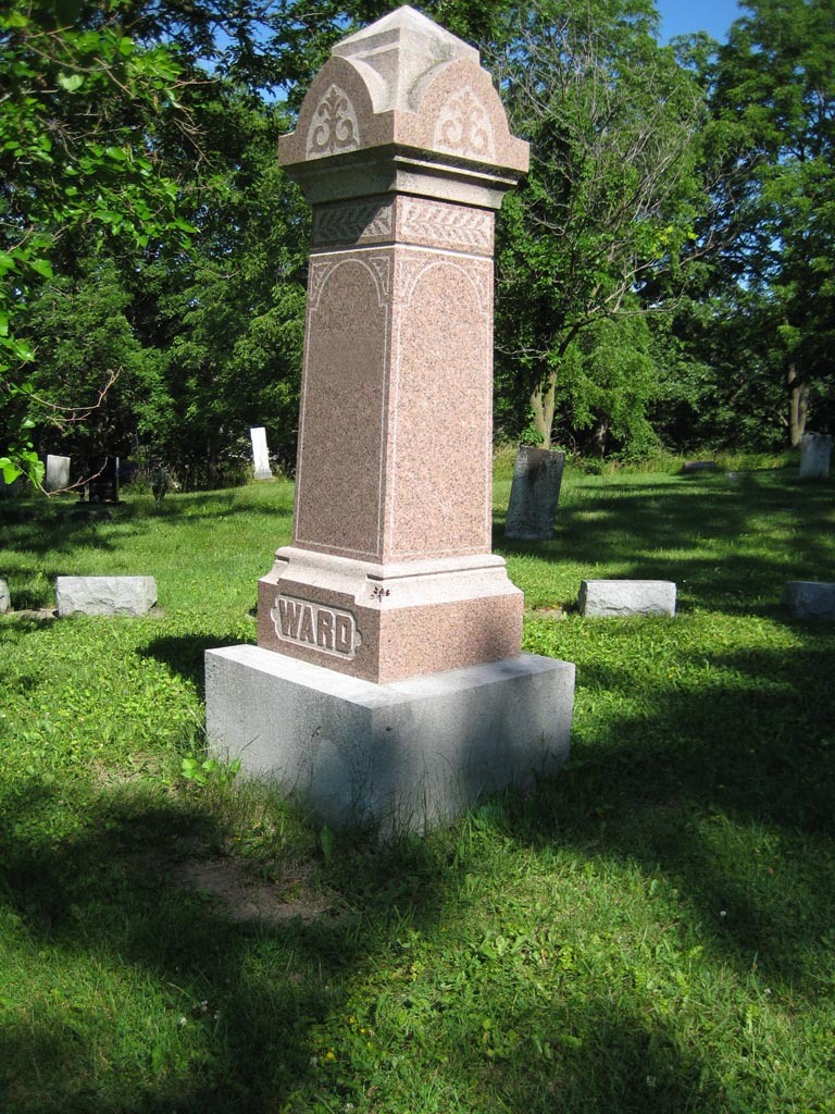
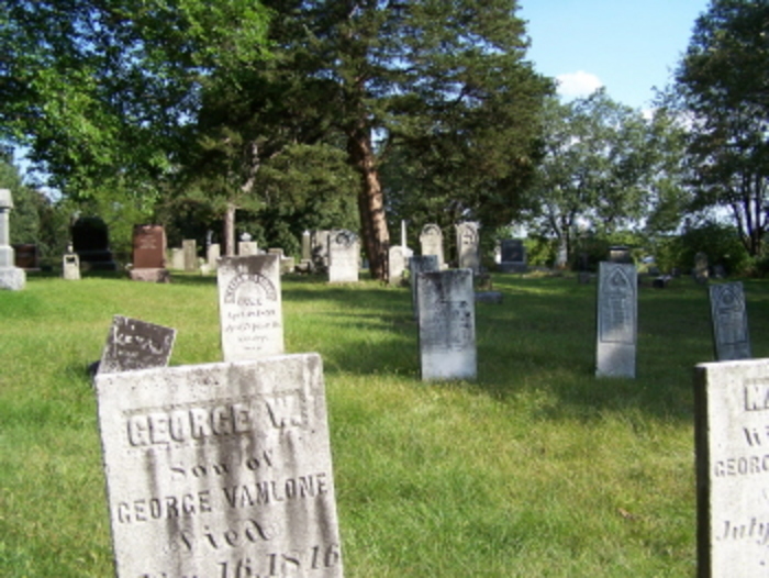
| Description | : | Cemetery located on Highway 12 at County G. Section 25 Oakland Township This cemetery was indexed in the 1940's by the Daughters of the Revolution. Many gravestones found in that list no longer exist. |
frequently asked questions (FAQ):
-
Where is Ward Cemetery?
Ward Cemetery is located at on Highway 12 at County G Oakland, Jefferson County ,Wisconsin ,USA.
-
Ward Cemetery cemetery's updated grave count on graveviews.com?
6 memorials
-
Where are the coordinates of the Ward Cemetery?
Latitude: 42.9616680
Longitude: -88.8955740
Nearby Cemetories:
1. Taylor Family Cemetery
Fort Atkinson, Jefferson County, USA
Coordinate: 42.9476900, -88.9070320
2. Arity Family Cemetery
Fort Atkinson, Jefferson County, USA
Coordinate: 42.9787800, -88.8753600
3. Union Cemetery
Sumner, Jefferson County, USA
Coordinate: 42.9342003, -88.9085999
4. North Oakland Cemetery
Oakland, Jefferson County, USA
Coordinate: 43.0018997, -88.9088974
5. Oakland Evergreen Cemetery
Oakland, Jefferson County, USA
Coordinate: 42.9533000, -88.9541300
6. Oakland Center Cemetery
Oakland, Jefferson County, USA
Coordinate: 42.9767200, -88.9532600
7. Evergreen Cemetery
Fort Atkinson, Jefferson County, USA
Coordinate: 42.9407997, -88.8405991
8. Saint Joseph Catholic Cemetery
Fort Atkinson, Jefferson County, USA
Coordinate: 42.9313900, -88.8365000
9. Oakland Seventh-Day Cemetery
Oakland, Jefferson County, USA
Coordinate: 42.9402100, -88.9689400
10. Jefferson County Potters Field Cemetery
Jefferson, Jefferson County, USA
Coordinate: 42.9904870, -88.8247690
11. Lakeview Cemetery
Fort Atkinson, Jefferson County, USA
Coordinate: 42.9103012, -88.8482971
12. Rock River Cemetery
Jefferson, Jefferson County, USA
Coordinate: 42.9832993, -88.8078003
13. Faith Community Church Memorial Garden
Fort Atkinson, Jefferson County, USA
Coordinate: 42.9010570, -88.8311600
14. Wild Wood Cemetery
Fort Atkinson, Jefferson County, USA
Coordinate: 42.9539490, -88.7903824
15. Greenwood Cemetery
Jefferson, Jefferson County, USA
Coordinate: 43.0116997, -88.8041992
16. Saint John the Baptist Catholic Cemetery
Jefferson, Jefferson County, USA
Coordinate: 43.0099983, -88.7985992
17. Union Cemetery
Jefferson, Jefferson County, USA
Coordinate: 43.0107994, -88.7966995
18. Lake Ripley Cemetery
Cambridge, Jefferson County, USA
Coordinate: 43.0041809, -89.0011673
19. Busseyville Cemetery
Busseyville, Jefferson County, USA
Coordinate: 42.9003800, -88.9829100
20. Saint Coletta Cemetery
Jefferson, Jefferson County, USA
Coordinate: 43.0044900, -88.7794800
21. Saint Lawrence Catholic Church Cemetery
Jefferson, Jefferson County, USA
Coordinate: 43.0051100, -88.7783100
22. Saint Pauls Evangelical Lutheran Cemetery
Lake Mills, Jefferson County, USA
Coordinate: 43.0591800, -88.9218900
23. Willerup Methodist Cemetery
Cambridge, Dane County, USA
Coordinate: 43.0021019, -89.0225067
24. Saint Pius X Church Cemetery
Cambridge, Dane County, USA
Coordinate: 42.9997670, -89.0264230


