
| Memorials | : | 220 |
| Location | : | Eiffelton, Ashburton District, New Zealand |
| Coordinate | : | -44.0640000, 171.7260000 |
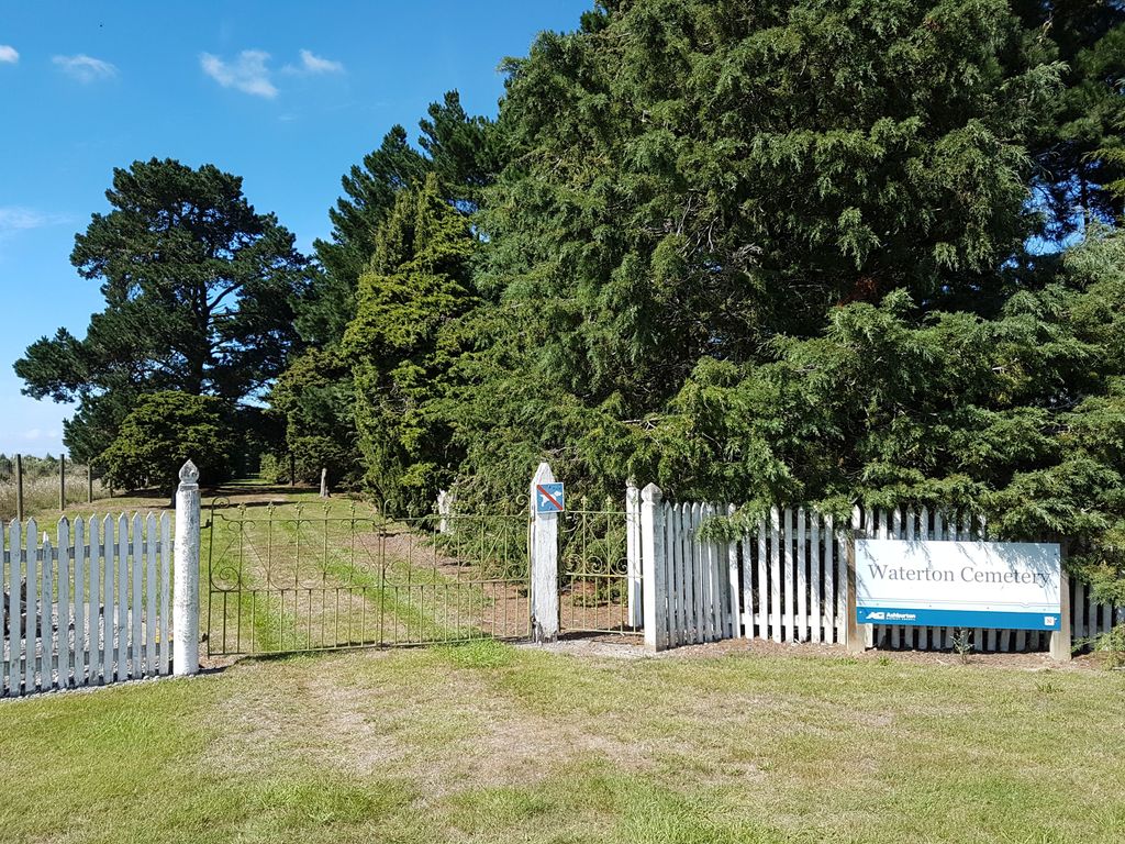
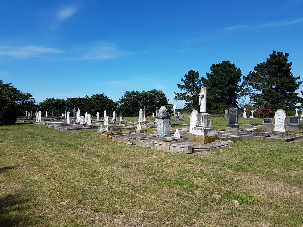
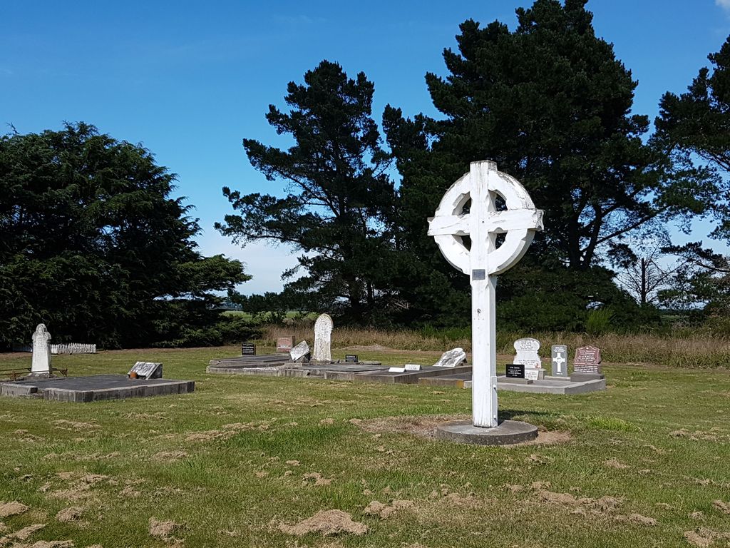
| Description | : | Waterton Cemetery is a rural cemetery situated on Grahams Road within sound of the sea. Heading south from Ashburton on SH1, cross the Ashburton River and turn left into Fords Road on southern outskirts of Tinwald. Follow this road for approximately 15 kilometres, then turn right into Grahams Road; follow this in the direction of the beach. The cemetery is about 3.5 km on the left hand side. The square cemetery is not visible from the road being bounded by trees and is accessed down a grassy path tree lined path via a picket fence and iron gate entrance. It... Read More |
frequently asked questions (FAQ):
-
Where is Waterton Cemetery?
Waterton Cemetery is located at Grahams Road Eiffelton, Ashburton District ,Canterbury , 7774New Zealand.
-
Waterton Cemetery cemetery's updated grave count on graveviews.com?
220 memorials
-
Where are the coordinates of the Waterton Cemetery?
Latitude: -44.0640000
Longitude: 171.7260000
Nearby Cemetories:
1. Longbeach Estate Chapel
Longbeach, Ashburton District, New Zealand
Coordinate: -44.0941090, 171.6884504
2. Windermere Cemetery
Windermere, Ashburton District, New Zealand
Coordinate: -43.9874945, 171.6232358
3. Winslow Cemetery
Winslow, Ashburton District, New Zealand
Coordinate: -43.9576290, 171.6522810
4. Hinds Cemetery
Hinds, Ashburton District, New Zealand
Coordinate: -44.0075580, 171.5735400
5. Pioneer Park Memorial
Ashburton, Ashburton District, New Zealand
Coordinate: -43.9106400, 171.7485300
6. Ashburton Public Cemetery
Ashburton, Ashburton District, New Zealand
Coordinate: -43.8903240, 171.7702810
7. Westerfield Cemetery
Westerfield, Ashburton District, New Zealand
Coordinate: -43.8324380, 171.5806230
8. Chertsey Cemetery
Chertsey, Ashburton District, New Zealand
Coordinate: -43.8030500, 171.9319400
9. Kyle Cemetery
Dorie, Ashburton District, New Zealand
Coordinate: -43.9193236, 172.0979192
10. Dorie Cemetery
Dorie, Ashburton District, New Zealand
Coordinate: -43.8772900, 172.0862500
11. Arundel Cemetery
Arundel, Timaru District, New Zealand
Coordinate: -43.9785690, 171.2838900
12. Cracroft Cemetery
Ruapuna, Ashburton District, New Zealand
Coordinate: -43.9341900, 171.2989500
13. Ruapuna Cemetery
Ruapuna, Ashburton District, New Zealand
Coordinate: -43.8436110, 171.3680400
14. Geraldine Cemetery
Geraldine, Timaru District, New Zealand
Coordinate: -44.0982600, 171.2407000
15. Temuka Cemetery
Temuka, Timaru District, New Zealand
Coordinate: -44.2499010, 171.3014390
16. Rakaia Cemetery
Rakaia, Ashburton District, New Zealand
Coordinate: -43.7548910, 171.9939270
17. Woodbury Cemetery
Woodbury, Timaru District, New Zealand
Coordinate: -44.0360900, 171.2127000
18. Whareki Cemetery
Temuka, Timaru District, New Zealand
Coordinate: -44.2558600, 171.2734500
19. St. Anne's Churchyard
Geraldine, Timaru District, New Zealand
Coordinate: -44.0836111, 171.1994444
20. Barrhill Cemetery
Barrhill, Ashburton District, New Zealand
Coordinate: -43.6756950, 171.8480790
21. Church of the Holy Innocents Churchyard
Peel Forest, Timaru District, New Zealand
Coordinate: -43.8398520, 171.2471820
22. Mount Somers Cemetery
Mount Somers, Ashburton District, New Zealand
Coordinate: -43.7093900, 171.3962830
23. Mt Somers Old Cemetery
Mount Somers, Ashburton District, New Zealand
Coordinate: -43.7050700, 171.3969000
24. Methven Cemetery
Methven, Ashburton District, New Zealand
Coordinate: -43.6346810, 171.6563070