
| Memorials | : | 3 |
| Location | : | Dorie, Ashburton District, New Zealand |
| Coordinate | : | -43.8772900, 172.0862500 |
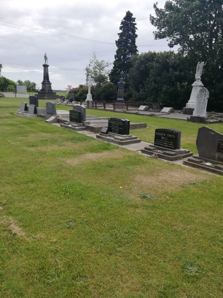
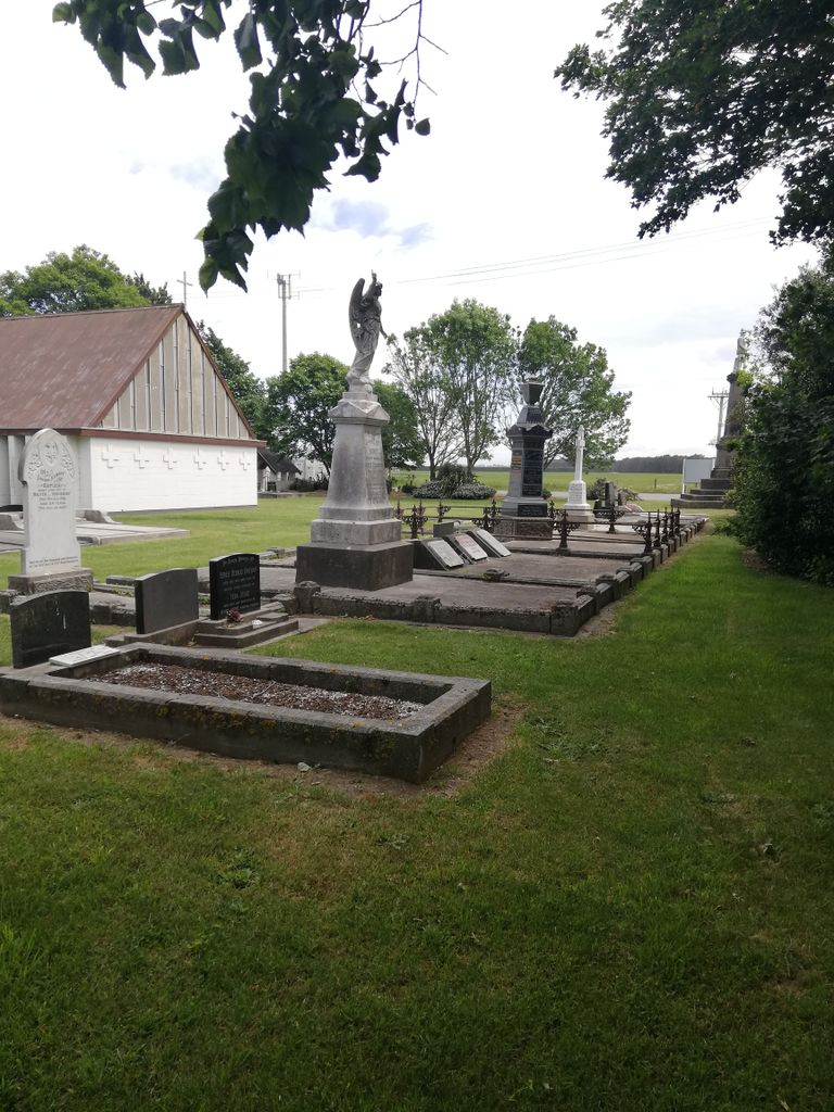
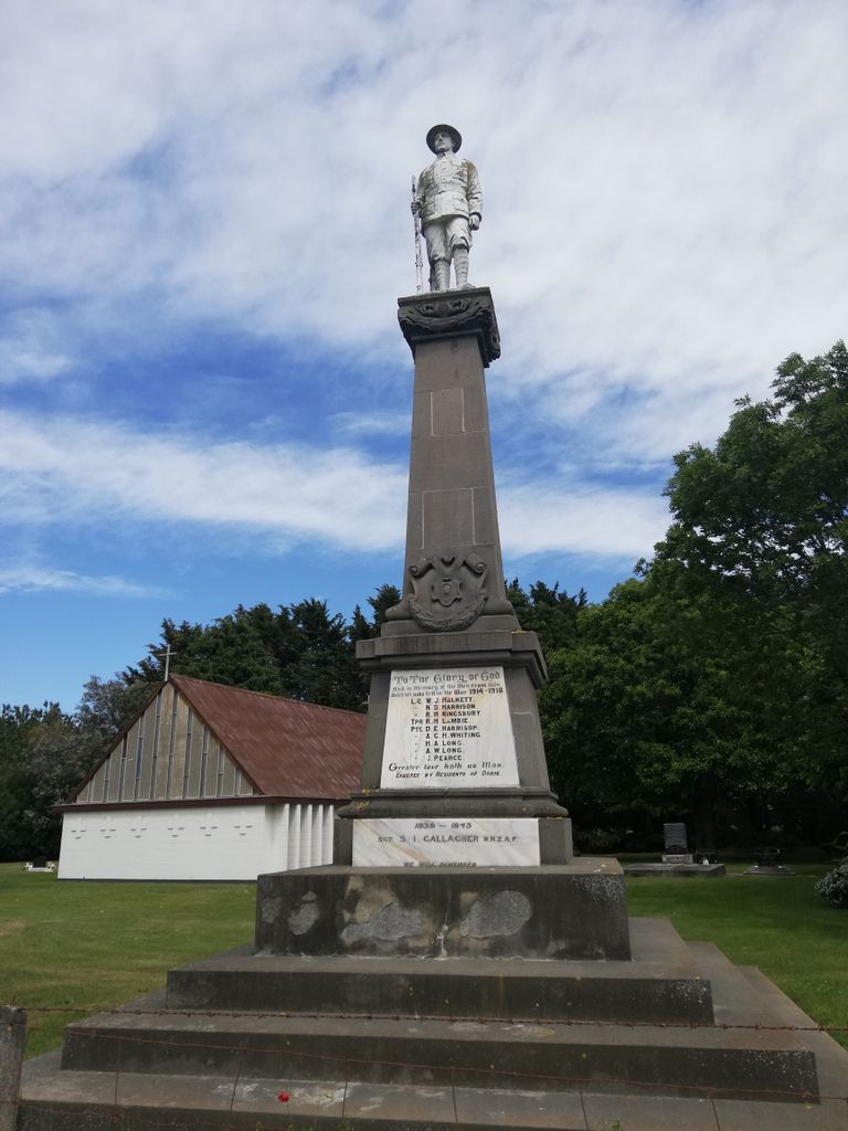
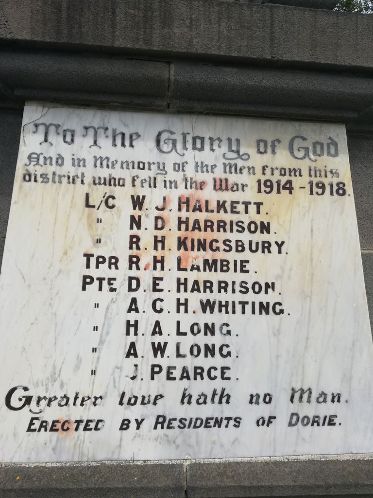
| Description | : | Dorie Cemetery is located in the churchyard of St Patrick's Church, 15 km south east of Rakaia at the intersections of Mainwarings and McCrory's Roads. It contains the official war grave of one man who served in the New Zealand Forces during the First World War. This is Private Dudley Edward Harrison, New Zealand Cyclist Battalion, who died on 30 March 1919 having failed to recover from being shot in the head on the Western Front. |
frequently asked questions (FAQ):
-
Where is Dorie Cemetery?
Dorie Cemetery is located at Mainwarings & McCrorys Road Dorie, Ashburton District ,Canterbury , 7781New Zealand.
-
Dorie Cemetery cemetery's updated grave count on graveviews.com?
3 memorials
-
Where are the coordinates of the Dorie Cemetery?
Latitude: -43.8772900
Longitude: 172.0862500
Nearby Cemetories:
1. Kyle Cemetery
Dorie, Ashburton District, New Zealand
Coordinate: -43.9193236, 172.0979192
2. Chertsey Cemetery
Chertsey, Ashburton District, New Zealand
Coordinate: -43.8030500, 171.9319400
3. St James Churchyard
Southbridge, Selwyn District, New Zealand
Coordinate: -43.8092360, 172.2502680
4. Rakaia Cemetery
Rakaia, Ashburton District, New Zealand
Coordinate: -43.7548910, 171.9939270
5. Bishops Corner Cemetery
Southbridge, Selwyn District, New Zealand
Coordinate: -43.7824100, 172.2422900
6. Ellesmere Public Cemetery
Leeston, Selwyn District, New Zealand
Coordinate: -43.7775690, 172.2599220
7. Ellesmere Catholic Cemetery
Leeston, Selwyn District, New Zealand
Coordinate: -43.7845860, 172.2690990
8. Sedgemere Cemetery
Sedgemere, Selwyn District, New Zealand
Coordinate: -43.8366600, 172.3149500
9. Killinchy Cemetery
Leeston, Selwyn District, New Zealand
Coordinate: -43.7325610, 172.2411540
10. Hone Wetere Churchyard
Taumutu, Selwyn District, New Zealand
Coordinate: -43.8567680, 172.3586330
11. Dunsandel Cemetery
Dunsandel, Selwyn District, New Zealand
Coordinate: -43.6710940, 172.1382620
12. Ashburton Public Cemetery
Ashburton, Ashburton District, New Zealand
Coordinate: -43.8903240, 171.7702810
13. Brookside Cemetery
Brookside, Selwyn District, New Zealand
Coordinate: -43.6751800, 172.2683700
14. St Luke's Anglican Churchyard
Brookside, Selwyn District, New Zealand
Coordinate: -43.6903100, 172.3029000
15. Pioneer Park Memorial
Ashburton, Ashburton District, New Zealand
Coordinate: -43.9106400, 171.7485300
16. Barrhill Cemetery
Barrhill, Ashburton District, New Zealand
Coordinate: -43.6756950, 171.8480790
17. Waterton Cemetery
Eiffelton, Ashburton District, New Zealand
Coordinate: -44.0640000, 171.7260000
18. Winslow Cemetery
Winslow, Ashburton District, New Zealand
Coordinate: -43.9576290, 171.6522810
19. Greendale Cemetery
Greendale, Selwyn District, New Zealand
Coordinate: -43.5447560, 172.0772460
20. St Mary's Churchyard
Springston, Selwyn District, New Zealand
Coordinate: -43.6446560, 172.4263590
21. Windermere Cemetery
Windermere, Ashburton District, New Zealand
Coordinate: -43.9874945, 171.6232358
22. Springston Cemetery
Lincoln, Selwyn District, New Zealand
Coordinate: -43.6404360, 172.4509420
23. Highbank Cemetery
Highbank, Ashburton District, New Zealand
Coordinate: -43.6228060, 171.7387780
24. Longbeach Estate Chapel
Longbeach, Ashburton District, New Zealand
Coordinate: -44.0941090, 171.6884504