
| Memorials | : | 164 |
| Location | : | Jackson County, USA |
| Coordinate | : | 38.9233017, -86.0986023 |
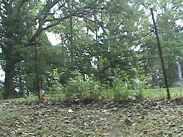
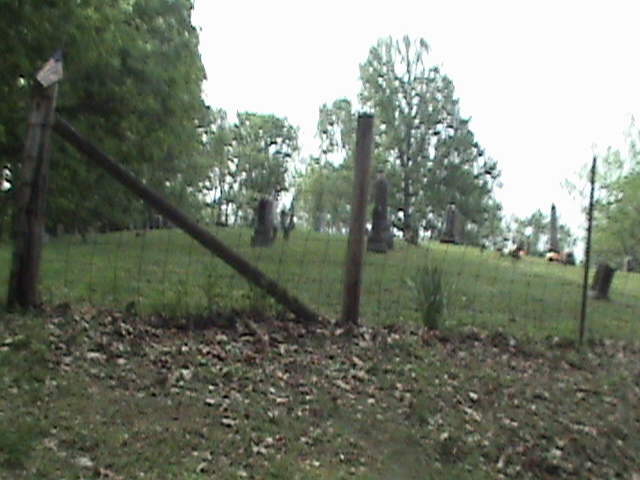
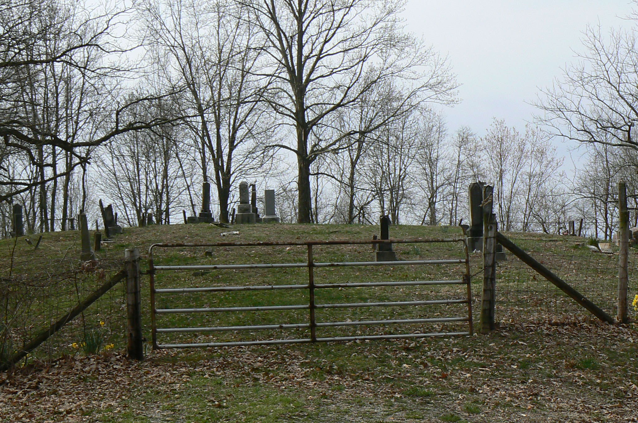
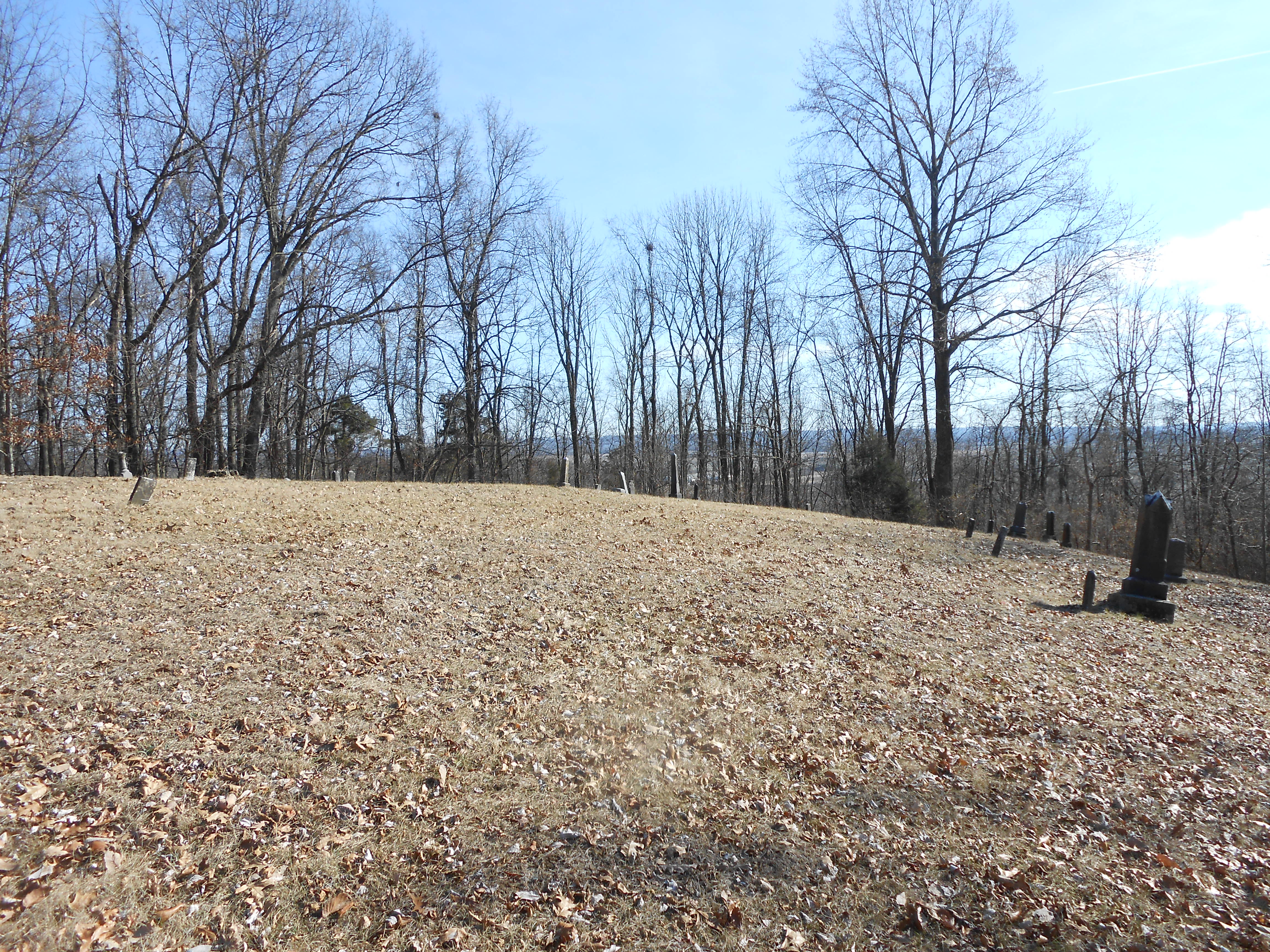
| Description | : | The cemetery is located in Carr Township. About 0.2 miles north of W County Road 300 N about 0.2 miles west of its intersection with W County Road 300 N. Indiana Cemetery Locations, Volume 4, published by the Indiana Genealogical Society (April 2009), gives the primary cemetery name as Pleasant Grove Cemetery with an alternate name of Wayman Cemetery. The cemetery is listed in the Cemetery and Burial Grounds Registry of the Indiana Department of Natural Resources (DNR) and in the State Historical Architectural and Archaeological Research Database (SHAARD) with Cemetery Record Number CR-36-27 (Wayman / Pleasant Grove).... Read More |
frequently asked questions (FAQ):
-
Where is Wayman Cemetery?
Wayman Cemetery is located at W County Road 300 N Jackson County ,Indiana , 47220USA.
-
Wayman Cemetery cemetery's updated grave count on graveviews.com?
164 memorials
-
Where are the coordinates of the Wayman Cemetery?
Latitude: 38.9233017
Longitude: -86.0986023
Nearby Cemetories:
1. Smallwood Cemetery
Brownstown, Jackson County, USA
Coordinate: 38.8978004, -86.1256027
2. Valley Home Old Regular Baptist Cemetery
Freetown, Jackson County, USA
Coordinate: 38.9585050, -86.1186500
3. Crane Cemetery
Brownstown, Jackson County, USA
Coordinate: 38.8793280, -86.1131780
4. Davis Cemetery
Clear Spring, Jackson County, USA
Coordinate: 38.9151880, -86.1612170
5. Robertson-Ewing Cemetery
Brownstown, Jackson County, USA
Coordinate: 38.8818110, -86.0625020
6. Beem Cemetery
Brownstown, Jackson County, USA
Coordinate: 38.8882810, -86.0521510
7. Lucas Cemetery
Freetown, Jackson County, USA
Coordinate: 38.9702988, -86.1369019
8. Fairview Cemetery
Brownstown, Jackson County, USA
Coordinate: 38.8868484, -86.0405045
9. Saint Peters Lutheran Cemetery
Brownstown, Jackson County, USA
Coordinate: 38.8862686, -86.0404663
10. Freetown Cemetery
Freetown, Jackson County, USA
Coordinate: 38.9773140, -86.1340332
11. Miller Cemetery
Jackson County, USA
Coordinate: 38.8622017, -86.0894012
12. Freetown Old Cemetery
Freetown, Jackson County, USA
Coordinate: 38.9782270, -86.1344810
13. Mount Zion Cemetery
Medora, Jackson County, USA
Coordinate: 38.8837471, -86.1607819
14. Acme Cemetery
Acme, Jackson County, USA
Coordinate: 38.9778709, -86.0587692
15. Woodmansee Cemetery
Brownstown, Jackson County, USA
Coordinate: 38.8734600, -86.0466400
16. Brownstown Old City Cemetery
Brownstown, Jackson County, USA
Coordinate: 38.8786583, -86.0387802
17. Burrell Cemetery
Brownstown, Jackson County, USA
Coordinate: 38.8625090, -86.0656180
18. Claycamp Cemetery
Acme, Jackson County, USA
Coordinate: 38.9858670, -86.0683140
19. Weathers Cemetery
Jackson County, USA
Coordinate: 38.8580650, -86.0791680
20. Robertson Cemetery
Seymour, Jackson County, USA
Coordinate: 38.9432983, -86.0164032
21. Bagwell Cemetery
Jackson County, USA
Coordinate: 38.9516983, -86.1810989
22. Hamilton Cemetery
Shields, Jackson County, USA
Coordinate: 38.8972633, -86.0135195
23. Robertson Cemetery
Brownstown, Jackson County, USA
Coordinate: 38.9049988, -86.0057983
24. Mountain View Missionary Baptist Cemetery
Clear Spring, Jackson County, USA
Coordinate: 38.9121430, -86.1933310