
| Memorials | : | 0 |
| Location | : | Sandy Township, Clearfield County, USA |
| Coordinate | : | 41.1068860, -78.7934230 |
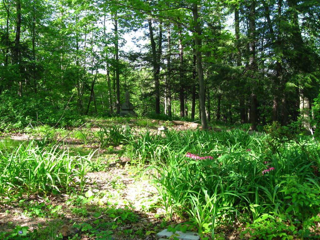
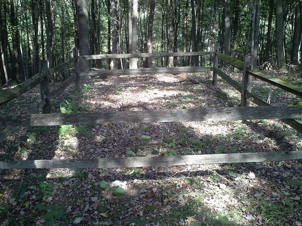
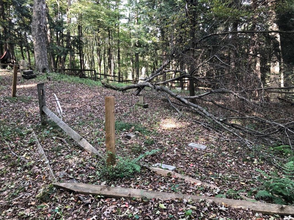
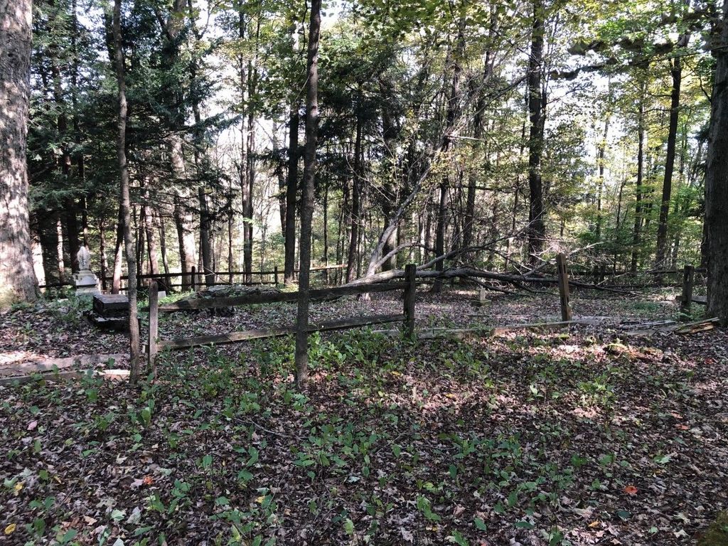
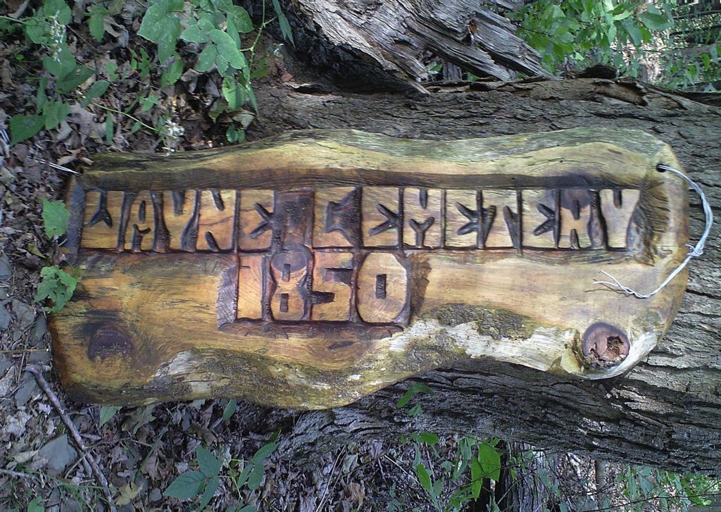
| Description | : | The cemetery is located on the east side of Kitchen Road about 0.1 miles north of its intersection with Beach Tree Road. Cemetery is on private property, consider asking permission before visiting. The cemetery is identified as Wayne Cemetery on a parcel with control # 128045137 and PIN 1280‑A03‑000‑00028 by the Clearfield County Pennsylvania GIS department. |
frequently asked questions (FAQ):
-
Where is Wayne Cemetery?
Wayne Cemetery is located at 313 Kitchen Road Sandy Township, Clearfield County ,Pennsylvania , 15801USA.
-
Wayne Cemetery cemetery's updated grave count on graveviews.com?
0 memorials
-
Where are the coordinates of the Wayne Cemetery?
Latitude: 41.1068860
Longitude: -78.7934230
Nearby Cemetories:
1. Saint Michaels Cemetery
DuBois, Clearfield County, USA
Coordinate: 41.1227989, -78.7855988
2. Rumbarger Cemetery
DuBois, Clearfield County, USA
Coordinate: 41.1157990, -78.7742004
3. Saint Josephs Cemetery
DuBois, Clearfield County, USA
Coordinate: 41.1227989, -78.7822037
4. Saint Catherine Cemetery
DuBois, Clearfield County, USA
Coordinate: 41.1218987, -78.7782974
5. Sons of Israel Cemetery
DuBois, Clearfield County, USA
Coordinate: 41.1228250, -78.7792960
6. West Liberty Cemetery
DuBois, Clearfield County, USA
Coordinate: 41.0802400, -78.7836300
7. Delarme Cemetery
Winslow, Jefferson County, USA
Coordinate: 41.0818000, -78.8107000
8. Old West Liberty Cemetery
DuBois, Clearfield County, USA
Coordinate: 41.0775100, -78.7871900
9. Taylor Cemetery
Falls Creek, Jefferson County, USA
Coordinate: 41.1409683, -78.8108292
10. John DuBois Monument
DuBois, Clearfield County, USA
Coordinate: 41.1288240, -78.7515390
11. Prospect Cemetery
Reynoldsville, Jefferson County, USA
Coordinate: 41.0839005, -78.8377991
12. Oklahoma Cemetery
Clearfield County, USA
Coordinate: 41.1142000, -78.7318000
13. Salem Methodist Cemetery
DuBois, Clearfield County, USA
Coordinate: 41.0747000, -78.7459000
14. Mix Family Burial Ground
Reynoldsville, Jefferson County, USA
Coordinate: 41.0797710, -78.8529170
15. Fuller Cemetery
Reynoldsville, Jefferson County, USA
Coordinate: 41.0867120, -78.8582660
16. Greenwood Cemetery
DuBois, Clearfield County, USA
Coordinate: 41.1502991, -78.7485962
17. Morningside Cemetery
DuBois, Clearfield County, USA
Coordinate: 41.1255989, -78.7208023
18. Holy Trinity Byzantine Catholic Cemetery
Sykesville, Jefferson County, USA
Coordinate: 41.0536003, -78.8268967
19. Assumption Cemetery
Sykesville, Jefferson County, USA
Coordinate: 41.0550000, -78.8354000
20. Baptist Cemetery
Winslow Township, Jefferson County, USA
Coordinate: 41.0897484, -78.8731155
21. Beulah Land Cemetery
Reynoldsville, Jefferson County, USA
Coordinate: 41.0931015, -78.8743973
22. Sykesville Memorial Cemetery
Sykesville, Jefferson County, USA
Coordinate: 41.0449982, -78.8191986
23. Sandy Valley Cemetery
Sandy Valley, Jefferson County, USA
Coordinate: 41.1261000, -78.8779000
24. McCreight Cemetery
Winslow, Jefferson County, USA
Coordinate: 41.0596000, -78.8618000