
| Memorials | : | 0 |
| Location | : | Metropolitan Borough of Kirklees, England |
| Coordinate | : | 53.6342600, -1.8571000 |
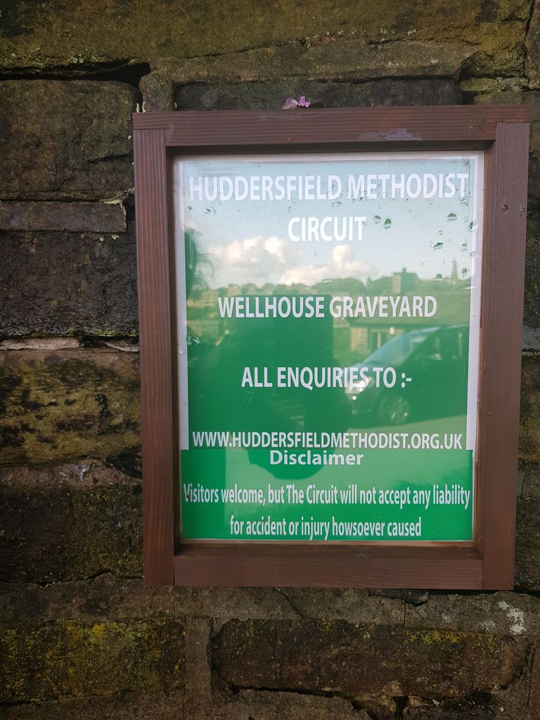
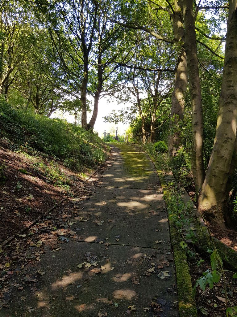
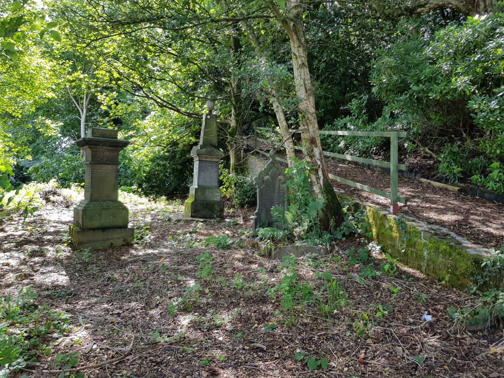
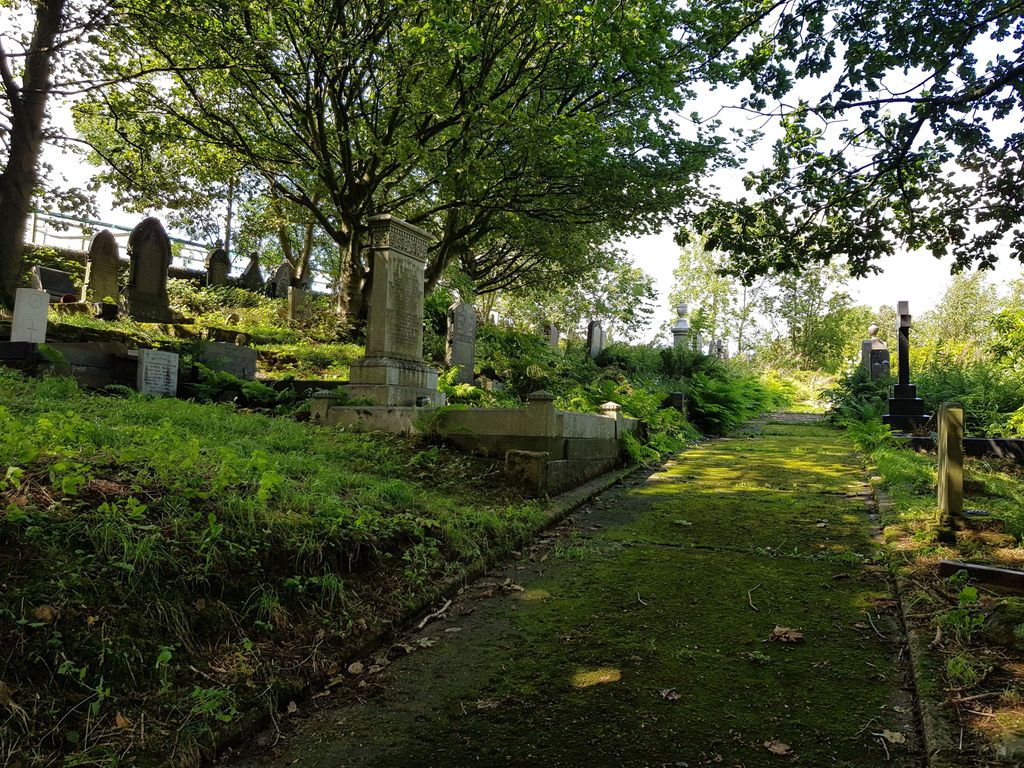
| Description | : | Golcar Wellhouse (New Connexion) Methodist Church Chapel yard A chapel was built at the foot of Upper Wellhouse Lane c1842-1843 and opened c1843-1844. In 1966 the chapel was demolished. |
frequently asked questions (FAQ):
-
Where is Wellhouse Methodist Graveyard?
Wellhouse Methodist Graveyard is located at Copley Bank Road, Wellhouse Metropolitan Borough of Kirklees ,West Yorkshire ,England.
-
Wellhouse Methodist Graveyard cemetery's updated grave count on graveviews.com?
0 memorials
-
Where are the coordinates of the Wellhouse Methodist Graveyard?
Latitude: 53.6342600
Longitude: -1.8571000

Nearby Cemetories:
1. Golcar Baptist Church
Golcar, Metropolitan Borough of Kirklees, England
Coordinate: 53.6357784, -1.8525264
2. St. John the Evangelist Churchyard
Golcar, Metropolitan Borough of Kirklees, England
Coordinate: 53.6391300, -1.8551400
3. Scapegoat Hill Baptist Church Cemetery
Metropolitan Borough of Kirklees, England
Coordinate: 53.6436000, -1.8644800
4. Christ Church Cemetery and Churchyard
Linthwaite, Metropolitan Borough of Kirklees, England
Coordinate: 53.6260200, -1.8462000
5. Linthwaite Methodist Church
Linthwaite, Metropolitan Borough of Kirklees, England
Coordinate: 53.6221298, -1.8572562
6. Providence Baptist Chapelyard
Slaithwaite, Metropolitan Borough of Kirklees, England
Coordinate: 53.6206749, -1.8783838
7. St Mark Churchyard
Huddersfield, Metropolitan Borough of Kirklees, England
Coordinate: 53.6459760, -1.8322580
8. St. James's Churchyard
Slaithwaite, Metropolitan Borough of Kirklees, England
Coordinate: 53.6225530, -1.8828880
9. Longwood Wesleyan Methodist Burial Ground
Golcar, Metropolitan Borough of Kirklees, England
Coordinate: 53.6525610, -1.8458385
10. St Luke Churchyard
Milnsbridge, Metropolitan Borough of Kirklees, England
Coordinate: 53.6370540, -1.8214650
11. Outlane Methodist Church Graveyard
Outlane, Metropolitan Borough of Kirklees, England
Coordinate: 53.6553950, -1.8778920
12. Salendine Nook Baptist Chapelyard
Huddersfield, Metropolitan Borough of Kirklees, England
Coordinate: 53.6575200, -1.8417800
13. Bethel Methodist New Connexion Chapel
Outlane, Metropolitan Borough of Kirklees, England
Coordinate: 53.6585320, -1.8711350
14. Pole Moor Chapel Graveyard
Pole Moor, Metropolitan Borough of Kirklees, England
Coordinate: 53.6392030, -1.8996510
15. Slaithwaite Cemetery
Slaithwaite, Metropolitan Borough of Kirklees, England
Coordinate: 53.6173740, -1.8930700
16. Holy Trinity Churchyard South Crosland
South Crosland, Metropolitan Borough of Kirklees, England
Coordinate: 53.6110850, -1.8238500
17. Holy Trinity Churchyard
South Crosland, Metropolitan Borough of Kirklees, England
Coordinate: 53.6112360, -1.8232310
18. All Saints Churchyard
Huddersfield, Metropolitan Borough of Kirklees, England
Coordinate: 53.6428410, -1.8063770
19. Lockwood Cemetery
Huddersfield, Metropolitan Borough of Kirklees, England
Coordinate: 53.6240290, -1.8069020
20. Christ Church Churchyard
Helme, Metropolitan Borough of Kirklees, England
Coordinate: 53.6031000, -1.8487000
21. St. Stephen's Churchyard
Lindley, Metropolitan Borough of Kirklees, England
Coordinate: 53.6590210, -1.8222000
22. Friends Burial Ground
Huddersfield, Metropolitan Borough of Kirklees, England
Coordinate: 53.6427300, -1.8041100
23. Zion Methodist Chapelyard
Lindley, Metropolitan Borough of Kirklees, England
Coordinate: 53.6617100, -1.8236500
24. Lindley Methodist Chapelyard
Lindley, Metropolitan Borough of Kirklees, England
Coordinate: 53.6634200, -1.8219000