
| Memorials | : | 0 |
| Location | : | West Canton, Haywood County, USA |
| Coordinate | : | 35.5351900, -82.8510300 |
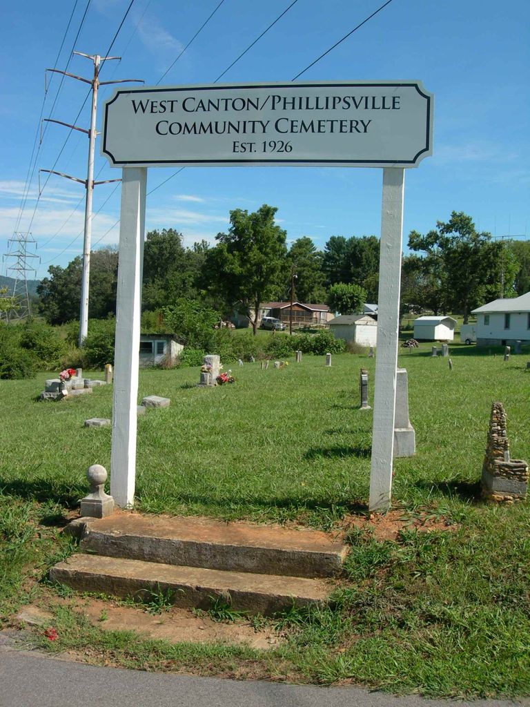
| Description | : | This cemetery is directly across Sunset Circle from the Smathers family cemetery. There are approximately 120 graves here. In 1926, the land for this cemetery was deeded by F.M. and Willie Smathers to West Canton Baptist Church, who still owns it today. In 1941, the church split into what is now West Canton Baptist Church and Beulah Baptist Church, both of whom maintain the cemetery. The cemetery is near some houses and, per West Canton Baptist Church, when the road for the subdivision was put in, markers were removed and tossed to the side, so it... Read More |
frequently asked questions (FAQ):
-
Where is West Canton-Phillipsville Community Cemetery?
West Canton-Phillipsville Community Cemetery is located at Sunset Circle, West Canton West Canton, Haywood County ,North Carolina ,USA.
-
West Canton-Phillipsville Community Cemetery cemetery's updated grave count on graveviews.com?
0 memorials
-
Where are the coordinates of the West Canton-Phillipsville Community Cemetery?
Latitude: 35.5351900
Longitude: -82.8510300
Nearby Cemetories:
1. Smathers Cemetery
West Canton, Haywood County, USA
Coordinate: 35.5344009, -82.8503036
2. Saint Andrews on the Hill Episcopal Church Garden
Canton, Haywood County, USA
Coordinate: 35.5314230, -82.8357430
3. Locust Field Cemetery
Canton, Haywood County, USA
Coordinate: 35.5294810, -82.8340490
4. Patton Cemetery
West Canton, Haywood County, USA
Coordinate: 35.5381012, -82.8707962
5. Gibsontown Cemetery
Gibsontown, Haywood County, USA
Coordinate: 35.5252500, -82.8249600
6. North Canton Community Cemetery
Canton, Haywood County, USA
Coordinate: 35.5583000, -82.8388977
7. Raymond Fairchild Memorial Garden
Canton, Haywood County, USA
Coordinate: 35.5588064, -82.8383400
8. Bon-A-Venture Cemetery Old
West Canton, Haywood County, USA
Coordinate: 35.5335999, -82.8835983
9. Piney Grove Methodist Church Cemetery
Canton, Haywood County, USA
Coordinate: 35.5108500, -82.8667000
10. Haynes Family Cemetery
Canton, Haywood County, USA
Coordinate: 35.5322200, -82.8847600
11. Oak Grove Baptist Church Cemetery
Clyde, Haywood County, USA
Coordinate: 35.5592200, -82.8679000
12. Old Thickety Cemetery
Clyde, Haywood County, USA
Coordinate: 35.5537454, -82.8769841
13. Center Pigeon Baptist Church Cemetery
Canton, Haywood County, USA
Coordinate: 35.5053180, -82.8581450
14. Sunny Point Baptist Church Cemetery
Haywood County, USA
Coordinate: 35.5065900, -82.8369100
15. Crawford-Ray Memorial Gardens
Clyde, Haywood County, USA
Coordinate: 35.5289001, -82.8917007
16. Clark Chapel Cemetery
Haywood County, USA
Coordinate: 35.5680900, -82.8636100
17. Plains United Methodist Church Cemetery
Canton, Haywood County, USA
Coordinate: 35.5536000, -82.8133000
18. Morning Star United Methodist Church Cemetery
Canton, Haywood County, USA
Coordinate: 35.5134720, -82.8145730
19. Bon-A-Venture Cemetery New
Canton, Haywood County, USA
Coordinate: 35.5539300, -82.8107900
20. Smathers Cemetery
Haywood County, USA
Coordinate: 35.5750008, -82.8313980
21. Pleasant Hill Cemetery
Clyde, Haywood County, USA
Coordinate: 35.5285988, -82.9036026
22. Longs Community Cemetery
Canton, Haywood County, USA
Coordinate: 35.4878650, -82.8561950
23. Beaverdam Baptist Church Cemetery
Canton, Haywood County, USA
Coordinate: 35.5803100, -82.8301330
24. Spring Hill Baptist Church Cemetery
Canton, Haywood County, USA
Coordinate: 35.4864610, -82.8501960