
| Memorials | : | 12 |
| Location | : | Palestine, Darke County, USA |
| Coordinate | : | 40.0411590, -84.7063460 |
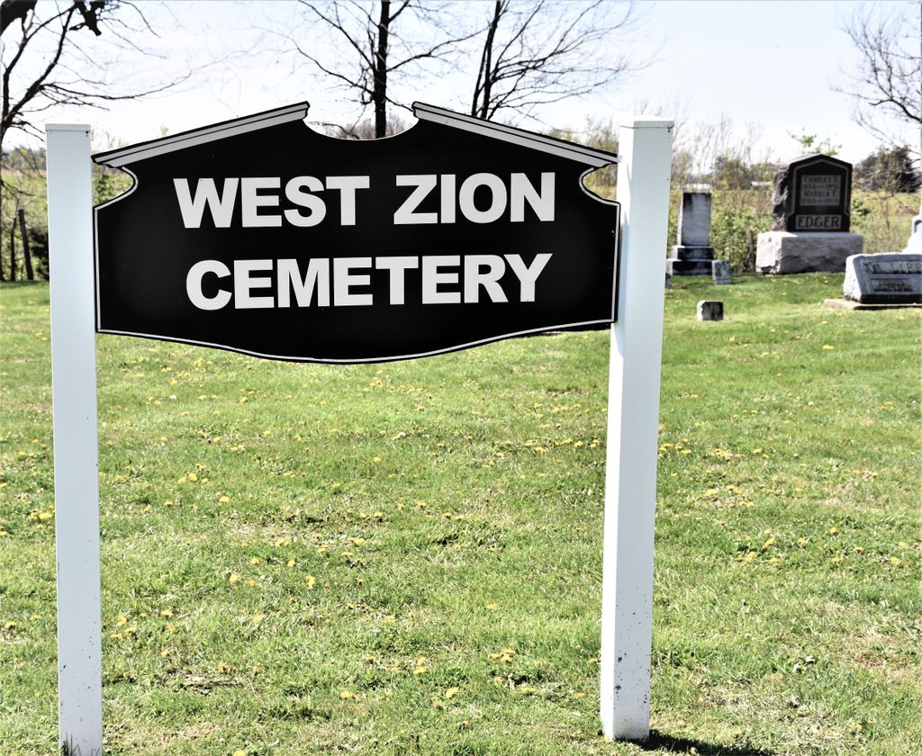
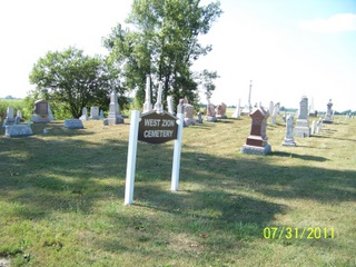
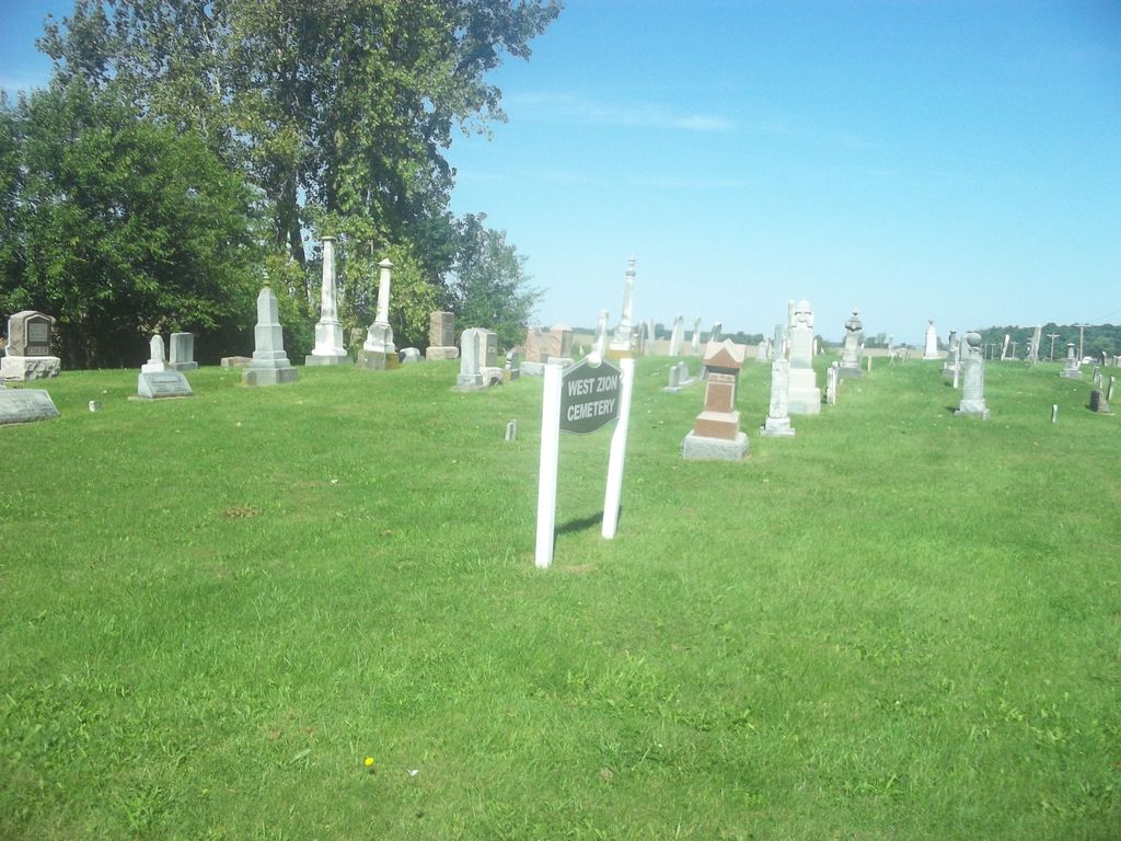
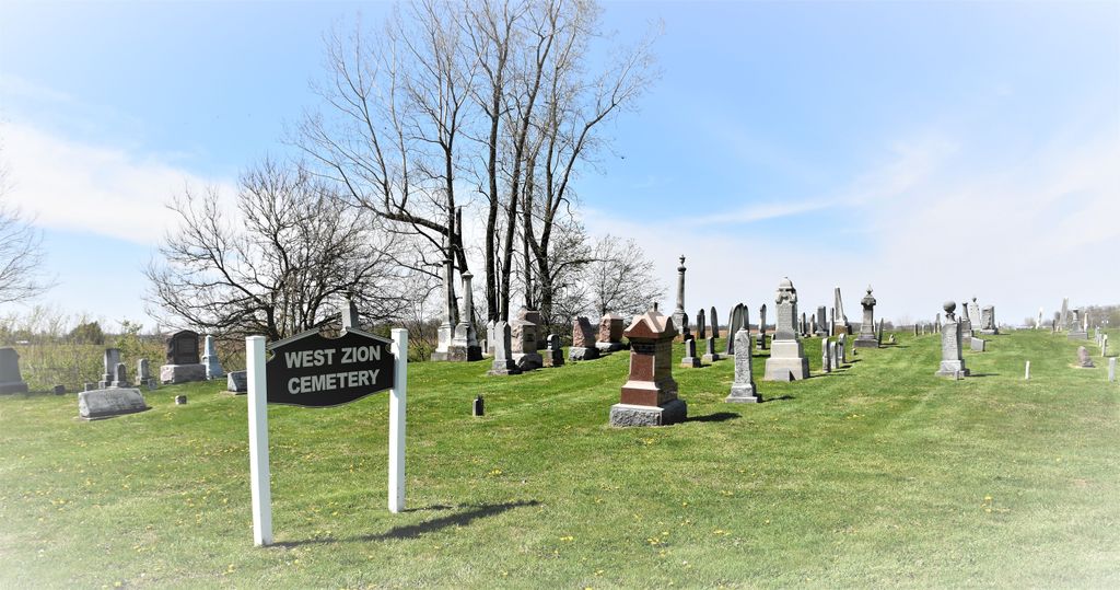
| Description | : | The cemetery is located on the northwest corner of the intersection of New Madison-Coletown Road (County Road 26) and Byrket Road (Township Road 120). The cemetery is located in Liberty Township, Darke County, Ohio and is #2743 (West Zion Cemetery / Zion Cemetery) in “Ohio Cemeteries 1803-2003”, compiled by the Ohio Genealogical Society. The cemetery is registered with the Ohio Division of Real Estate and Professional Licensing (ODRE) as St. John Lutheran Church Cemetery with registration license number CGR.0000982618. The U.S. Geological Survey (USGS) Geographic Names Information System (GNIS) feature ID for the cemetery is 1044284 (Saint Johns... Read More |
frequently asked questions (FAQ):
-
Where is West Zion Cemetery?
West Zion Cemetery is located at New Madison-Coletown Road (County Road 26) and Byrket Road (Township Road 120) Palestine, Darke County ,Ohio , 45346USA.
-
West Zion Cemetery cemetery's updated grave count on graveviews.com?
12 memorials
-
Where are the coordinates of the West Zion Cemetery?
Latitude: 40.0411590
Longitude: -84.7063460
Nearby Cemetories:
1. West Branch Cemetery
New Madison, Darke County, USA
Coordinate: 40.0503006, -84.7039032
2. Mount Zion Cemetery
Darke County, USA
Coordinate: 40.0417000, -84.6839000
3. Miller Grove German Baptist Church Cemetery
Palestine, Darke County, USA
Coordinate: 40.0554700, -84.7269280
4. Clark Station Cemetery
Clark, Darke County, USA
Coordinate: 40.0147250, -84.7209360
5. Saint John's Cemetery
Palestine, Darke County, USA
Coordinate: 40.0350000, -84.7447000
6. Palestine Cemetery
Palestine, Darke County, USA
Coordinate: 40.0539690, -84.7424930
7. Pioneer Cemetery
Fort Jefferson, Darke County, USA
Coordinate: 40.0272700, -84.6569000
8. Oak Grove Cemetery
Fort Jefferson, Darke County, USA
Coordinate: 40.0233002, -84.6528015
9. Wayne Lakes Cemetery
Fort Jefferson, Darke County, USA
Coordinate: 40.0156040, -84.6580110
10. Beech Grove Cemetery
Hollansburg, Darke County, USA
Coordinate: 40.0157000, -84.7570700
11. Mills Cemetery
New Madison, Darke County, USA
Coordinate: 39.9947014, -84.6797028
12. Dininger Cemetery
Coletown, Darke County, USA
Coordinate: 40.0918999, -84.7069016
13. Hiller Cemetery
Washington Township, Darke County, USA
Coordinate: 40.0995310, -84.7077570
14. Nashville Cemetery
Nashville, Darke County, USA
Coordinate: 40.0924630, -84.7429060
15. Spencer Cemetery
New Madison, Darke County, USA
Coordinate: 39.9939600, -84.7616140
16. Downing Cemetery
New Madison, Darke County, USA
Coordinate: 39.9915330, -84.7639610
17. Harter Cemetery
New Madison, Darke County, USA
Coordinate: 39.9747009, -84.6949997
18. Horn Cemetery
Hollansburg, Darke County, USA
Coordinate: 40.0322970, -84.7984670
19. Sharpeye Cemetery
Washington Township, Darke County, USA
Coordinate: 40.1064360, -84.7441260
20. Darke County Home Cemetery
Greenville Township, Darke County, USA
Coordinate: 40.0663986, -84.6185989
21. First Universalist Church Cemetery
New Madison, Darke County, USA
Coordinate: 39.9667280, -84.7058340
22. Church of God Cemetery
Greenville, Darke County, USA
Coordinate: 40.0677290, -84.6154430
23. Bass Cemetery
Long, Darke County, USA
Coordinate: 40.0638510, -84.7990330
24. Hollansburg Cemetery
Hollansburg, Darke County, USA
Coordinate: 39.9998398, -84.7895432