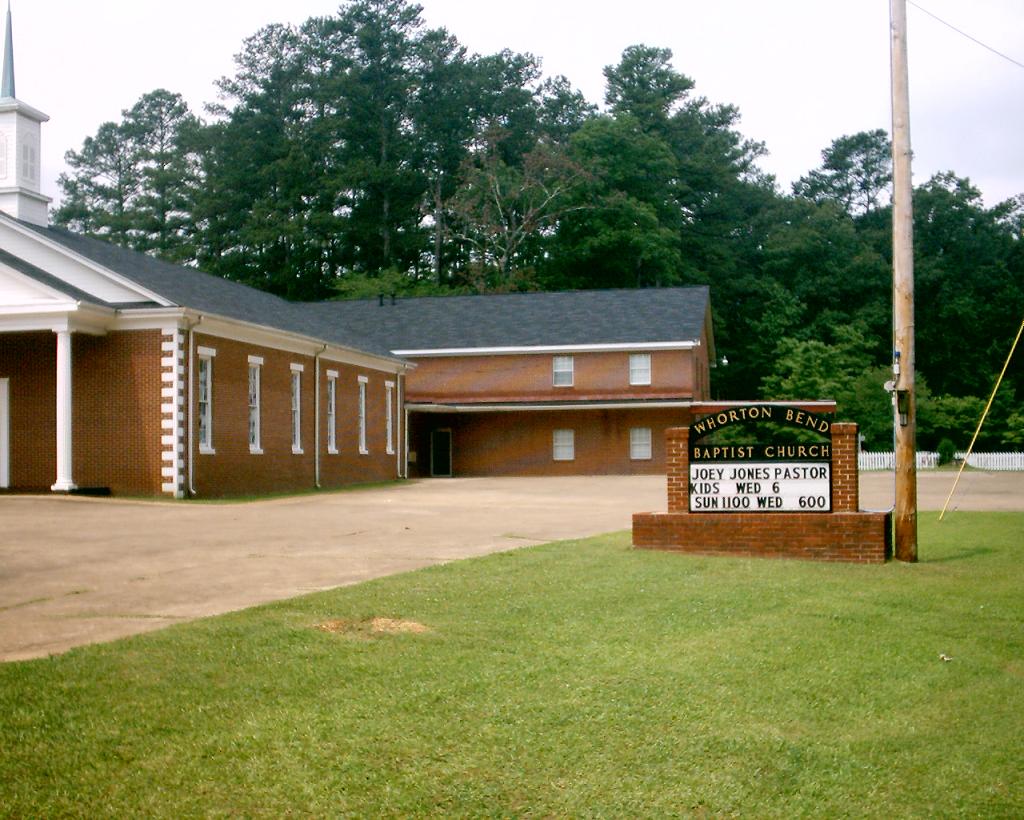
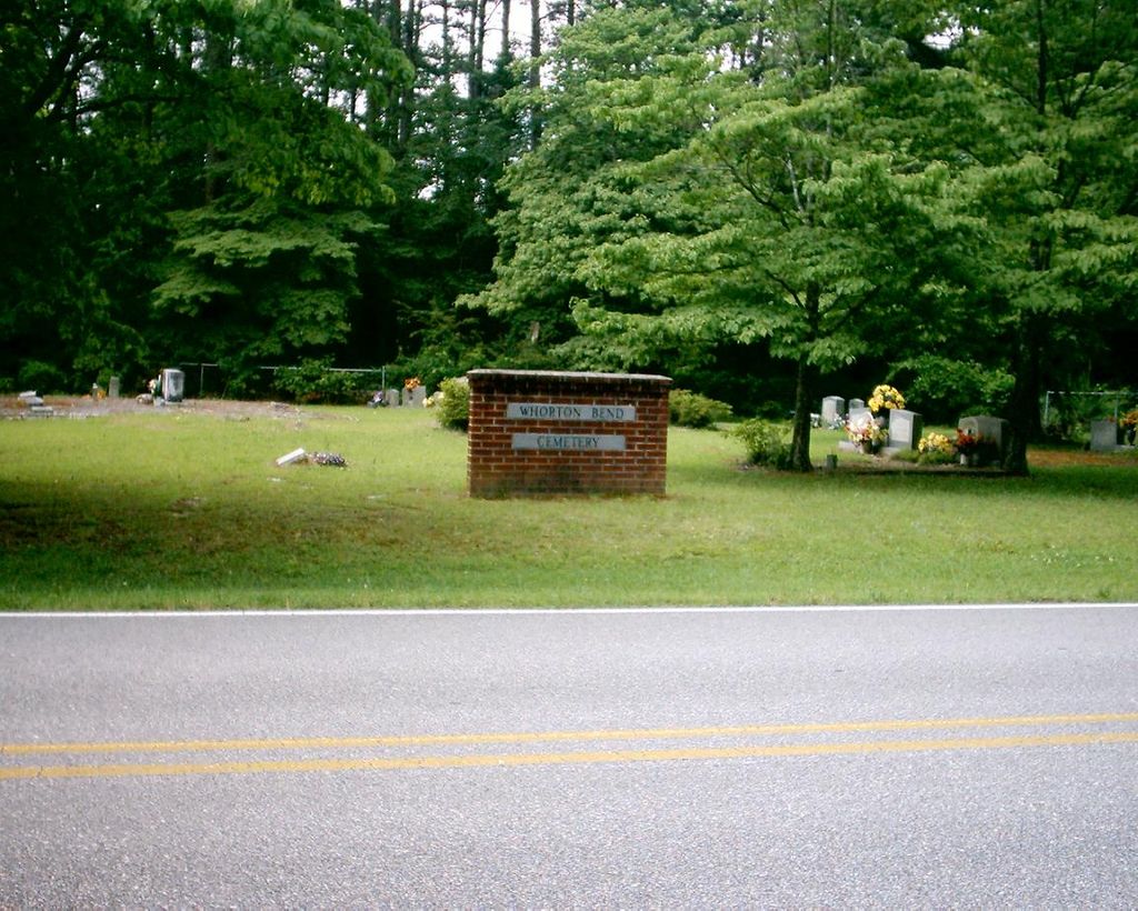
| Memorials | : | 1 |
| Location | : | Rainbow City, Etowah County, USA |
| Coordinate | : | 33.9448280, -85.9862518 |
| Description | : | Cemetery is located in Rainbow City, AL, 2 1/2 miles East of Highway 77 at the Coosa River Bridge near Southside, AL. This cemetery was 1st founded as Antioch Baptist Church Cemetery until September 1969 when it became known as Whorton's Bend Baptist Church Cemetery; Whorton's Bend Rd, Rainbow City, Etowah County, Alabama. This is the name recognized by the Gadsden Public Library, the Etowah Historical Society as well as the Northeast Alabama Genealogical Society. |
frequently asked questions (FAQ):
-
Where is Whorton Bend Baptist Church Cemetery?
Whorton Bend Baptist Church Cemetery is located at Whorton Bend Rd Rainbow City, Etowah County ,Alabama ,USA.
-
Whorton Bend Baptist Church Cemetery cemetery's updated grave count on graveviews.com?
1 memorials
-
Where are the coordinates of the Whorton Bend Baptist Church Cemetery?
Latitude: 33.9448280
Longitude: -85.9862518
Nearby Cemetories:
1. Williams Southside Memorial Park
Gadsden, Etowah County, USA
Coordinate: 33.9373160, -86.0234200
2. Pilgrims Rest Cemetery
Southside, Etowah County, USA
Coordinate: 33.9183280, -86.0112390
3. Pine Grove Cemetery
Glencoe, Etowah County, USA
Coordinate: 33.9277992, -85.9480972
4. Resurrection Garden at the Episcopal Church of The
Rainbow City, Etowah County, USA
Coordinate: 33.9683660, -86.0270430
5. Lincoln Hill Cemetery
Gadsden, Etowah County, USA
Coordinate: 33.9864810, -85.9766110
6. Fairview Cemetery
East Gadsden, Etowah County, USA
Coordinate: 33.9869000, -85.9772300
7. Royal Cemetery
East Gadsden, Etowah County, USA
Coordinate: 33.9902200, -85.9772000
8. Crestwood Memorial Cemetery
East Gadsden, Etowah County, USA
Coordinate: 33.9890700, -85.9697990
9. Old Harmony Baptist Church Cemetery
Rainbow City, Etowah County, USA
Coordinate: 33.9492000, -86.0494000
10. Southern Hill Cemetery
Gadsden, Etowah County, USA
Coordinate: 33.9987330, -86.0110000
11. Katy Moragne Hughes Cemetery
Gadsden, Etowah County, USA
Coordinate: 34.0056000, -86.0028000
12. Reid Cemetery
Glencoe, Etowah County, USA
Coordinate: 33.9892000, -85.9319000
13. Tillison Cemetery
Gadsden, Etowah County, USA
Coordinate: 34.0038986, -85.9552994
14. Glencoe-Hokes Bluff Cemetery
Gadsden, Etowah County, USA
Coordinate: 34.0001800, -85.9458950
15. Phillips-Smith Cemetery
Southside, Etowah County, USA
Coordinate: 33.8818010, -86.0057580
16. Owens Family Cemetery
Gadsden, Etowah County, USA
Coordinate: 33.9995700, -86.0366100
17. Lee Lake Cemetery
Reads Mill, Calhoun County, USA
Coordinate: 33.8935013, -85.9281998
18. Kirby Cemetery
Laney (Wellington), Calhoun County, USA
Coordinate: 33.8934030, -85.9279820
19. Lee Family Cemetery
Rainbow City, Etowah County, USA
Coordinate: 33.9351900, -86.0732300
20. Holy Comforter Columbarium
Gadsden, Etowah County, USA
Coordinate: 34.0143190, -86.0138110
21. Forrest Cemetery
Gadsden, Etowah County, USA
Coordinate: 34.0125008, -86.0271988
22. Oaklawn Cemetery
Gadsden, Etowah County, USA
Coordinate: 34.0039150, -86.0449640
23. Alabama City Cemetery
Gadsden, Etowah County, USA
Coordinate: 34.0046997, -86.0457993
24. Oak Grove Baptist Church Cemetery
Reads Mill, Calhoun County, USA
Coordinate: 33.8913994, -85.9143982


