
| Memorials | : | 0 |
| Location | : | Reads Mill, Calhoun County, USA |
| Coordinate | : | 33.8935013, -85.9281998 |
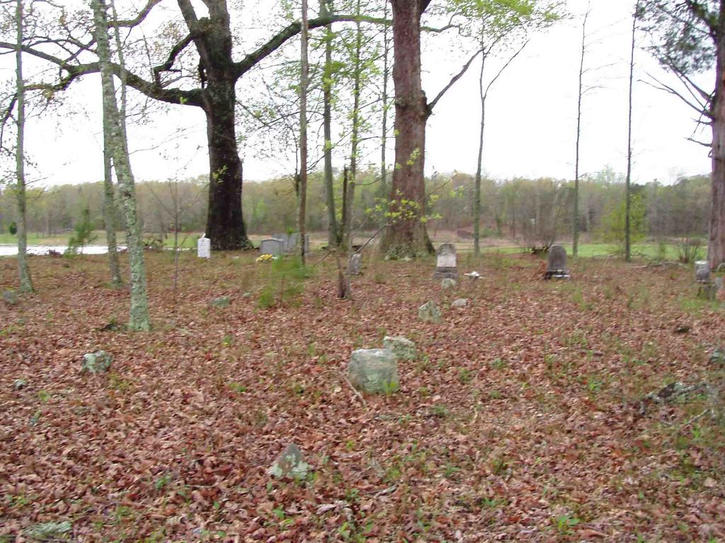
| Description | : | Also known as Kirby Cemetery, in an area called both Laney and Read's Mill, the region is now encompassed by Silver Lakes Subdivision. To get to the cemetery head North on US HWY 431 and turn left on Oak Grove Road very near the Etowah County line. The cemetery is located 1/2 mile West. |
frequently asked questions (FAQ):
-
Where is Lee Lake Cemetery?
Lee Lake Cemetery is located at Reads Mill, Calhoun County ,Alabama ,USA.
-
Lee Lake Cemetery cemetery's updated grave count on graveviews.com?
0 memorials
-
Where are the coordinates of the Lee Lake Cemetery?
Latitude: 33.8935013
Longitude: -85.9281998
Nearby Cemetories:
1. Kirby Cemetery
Laney (Wellington), Calhoun County, USA
Coordinate: 33.8934030, -85.9279820
2. Oak Grove Baptist Church Cemetery
Reads Mill, Calhoun County, USA
Coordinate: 33.8913994, -85.9143982
3. Pine Grove Cemetery
Glencoe, Etowah County, USA
Coordinate: 33.9277992, -85.9480972
4. Crystal Springs Cemetery
Duke, Calhoun County, USA
Coordinate: 33.8567009, -85.9092026
5. Shiloh Cemetery
Mount Polk, Calhoun County, USA
Coordinate: 33.8565750, -85.9087950
6. Mount Gilead Baptist Church Cemetery
Webster Chapel, Calhoun County, USA
Coordinate: 33.8875800, -85.8663780
7. Bethel United Methodist Church Cemetery
Ohatchee, Calhoun County, USA
Coordinate: 33.8636818, -85.9835968
8. Hebron Cemetery
Duke, Calhoun County, USA
Coordinate: 33.8389015, -85.9413986
9. Prater Cemetery
Wellington, Calhoun County, USA
Coordinate: 33.9091140, -85.8582130
10. Pine Grove Congregational Holiness Church Cemetery
Webster Chapel, Calhoun County, USA
Coordinate: 33.9122100, -85.8547200
11. Phillips-Smith Cemetery
Southside, Etowah County, USA
Coordinate: 33.8818010, -86.0057580
12. Whorton Bend Baptist Church Cemetery
Rainbow City, Etowah County, USA
Coordinate: 33.9448280, -85.9862518
13. Wellington First Baptist Church Cemetery
Wellington, Calhoun County, USA
Coordinate: 33.8267030, -85.8976870
14. Unity Cemetery at Church of Nine Gifts
Calhoun County, USA
Coordinate: 33.8678240, -85.8466060
15. Pilgrims Rest Cemetery
Southside, Etowah County, USA
Coordinate: 33.9183280, -86.0112390
16. Seven Springs Cemetery
Jacksonville, Calhoun County, USA
Coordinate: 33.8480988, -85.8574982
17. Mountain View Cemetery
Webster Chapel, Calhoun County, USA
Coordinate: 33.9351000, -85.8479000
18. New Hope Baptist Church Cemetery
Hokes Bluff, Etowah County, USA
Coordinate: 33.9666000, -85.8873000
19. Union United Methodist Church Cemetery
Wellington, Calhoun County, USA
Coordinate: 33.8151310, -85.8925510
20. Green Family Cemetery
Southside, Etowah County, USA
Coordinate: 33.8598950, -86.0251330
21. Seiber Cemetery
Jacksonville, Calhoun County, USA
Coordinate: 33.8786812, -85.8241653
22. Pleasant Valley Baptist Church Cemetery
Angel, Calhoun County, USA
Coordinate: 33.8704147, -85.8248520
23. Williams Southside Memorial Park
Gadsden, Etowah County, USA
Coordinate: 33.9373160, -86.0234200
24. Martin Family Cemetery
Ohatchee, Calhoun County, USA
Coordinate: 33.8477100, -86.0276200