
| Memorials | : | 0 |
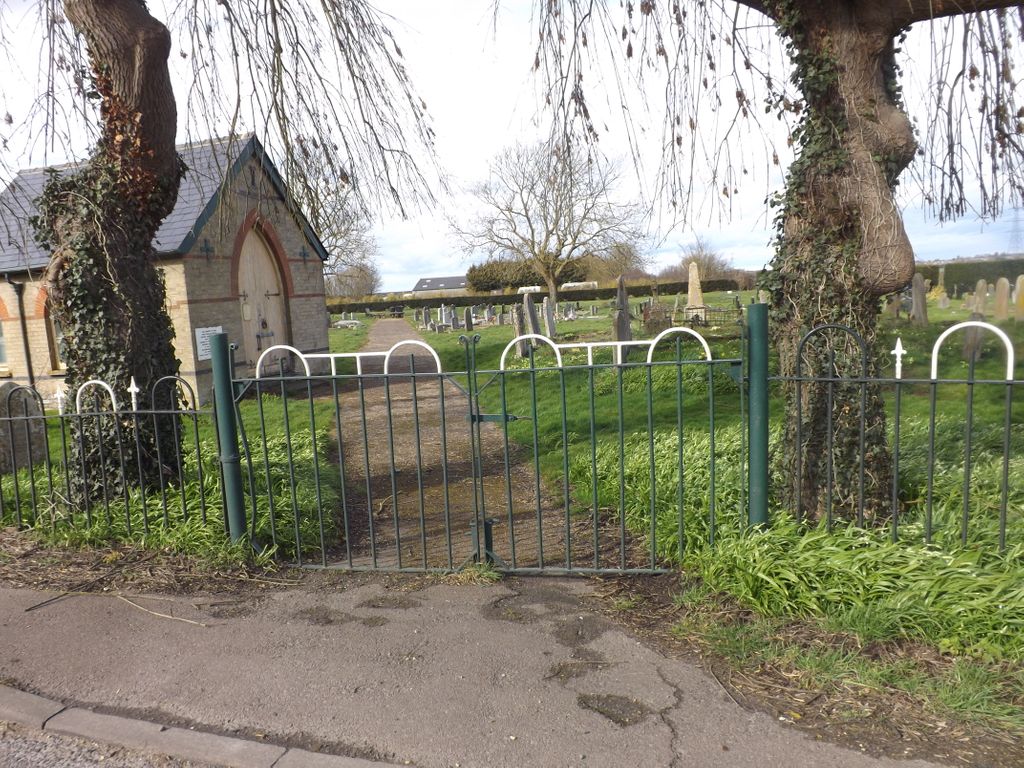
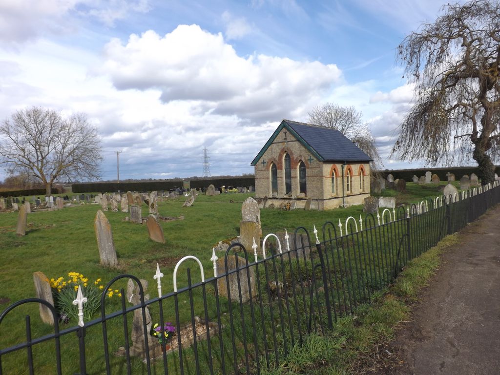
| Location | : | Wicken, East Cambridgeshire District, England |
| Coordinate | : | 52.3112600, 0.3125100 |
| Description | : | Wicken is a small village on the edge of The Fens near Soham in East Cambridgeshire, ten miles north east of Cambridge and five miles south of Ely. Wicken was listed as Wicha in the Domesday Book and Wiken in around 1200. The name comes from an Old-English dative plural wícum meaning "the dwellings" or "the trading settlement" On the village green there is a War Memorial to the men of the area who died in the two World Wars. The name of Bailey is sadly prominent, with three in the First World War and one in the Second World War-he is... Read More |
frequently asked questions (FAQ):
-
Where is Wicken Cemetery?
Wicken Cemetery is located at Wicken, East Cambridgeshire District ,Cambridgeshire ,England.
-
Wicken Cemetery cemetery's updated grave count on graveviews.com?
0 memorials
-
Where are the coordinates of the Wicken Cemetery?
Latitude: 52.3112600
Longitude: 0.3125100
Nearby Cemetories:
1. St Laurence Churchyard
Wicken, East Cambridgeshire District, England
Coordinate: 52.3107220, 0.3122250
2. Soham Cemetery
Soham, East Cambridgeshire District, England
Coordinate: 52.3266440, 0.3464510
3. St Andrew Churchyard
Soham, East Cambridgeshire District, England
Coordinate: 52.3330002, 0.3380000
4. Burwell Baptist Churchyard
Burwell, East Cambridgeshire District, England
Coordinate: 52.2852900, 0.3255400
5. Burwell Cemetery
Burwell, East Cambridgeshire District, England
Coordinate: 52.2802890, 0.3337960
6. St Mary the Virgin Churchyard
Burwell, East Cambridgeshire District, England
Coordinate: 52.2697130, 0.3280880
7. St Nicholas Churchyard
Landwade, Forest Heath District, England
Coordinate: 52.2870860, 0.3784460
8. Ss Peter & Mary Magdalene New Extension Cemetery
Fordham, East Cambridgeshire District, England
Coordinate: 52.3105300, 0.3940000
9. Ss Peter & Mary Magdalene Churchyard
Fordham, East Cambridgeshire District, England
Coordinate: 52.3101300, 0.3947400
10. Ss Peter & Mary Magdalene Churchyard Extension
Fordham, East Cambridgeshire District, England
Coordinate: 52.3110500, 0.3961500
11. St Martin Churchyard
Exning, Forest Heath District, England
Coordinate: 52.2639000, 0.3745000
12. St. Mary the Virgin Churchyard
Swaffham Prior, East Cambridgeshire District, England
Coordinate: 52.2510981, 0.2962463
13. Exning New Cemetery
Exning, Forest Heath District, England
Coordinate: 52.2600090, 0.3665360
14. Swaffham Prior Cemetery
Swaffham Prior, East Cambridgeshire District, England
Coordinate: 52.2506740, 0.2962160
15. St. Peter Churchyard
Snailwell, East Cambridgeshire District, England
Coordinate: 52.2815100, 0.4059500
16. Exning Cemetery
Newmarket, Forest Heath District, England
Coordinate: 52.2622310, 0.3814570
17. St. Mary's Churchyard
Lakenheath, Forest Heath District, England
Coordinate: 52.2457189, 0.3143020
18. Stretham Cemetery
Stretham, East Cambridgeshire District, England
Coordinate: 52.3500011, 0.2241533
19. St Andrew Churchyard
Isleham, East Cambridgeshire District, England
Coordinate: 52.3430930, 0.4114930
20. St. James Churchyard
Stretham, East Cambridgeshire District, England
Coordinate: 52.3487070, 0.2186110
21. Little Thetford Cemetery
Little Thetford, East Cambridgeshire District, England
Coordinate: 52.3660355, 0.2444110
22. Isleham Cemetery
Isleham, East Cambridgeshire District, England
Coordinate: 52.3425900, 0.4141400
23. Swaffham Bulbeck Cemetery
Swaffham Bulbeck, East Cambridgeshire District, England
Coordinate: 52.2404330, 0.2794270
24. St Margaret Churchyard
Chippenham, East Cambridgeshire District, England
Coordinate: 52.3010950, 0.4381590