
| Memorials | : | 0 |
| Location | : | Isleham, East Cambridgeshire District, England |
| Coordinate | : | 52.3425900, 0.4141400 |
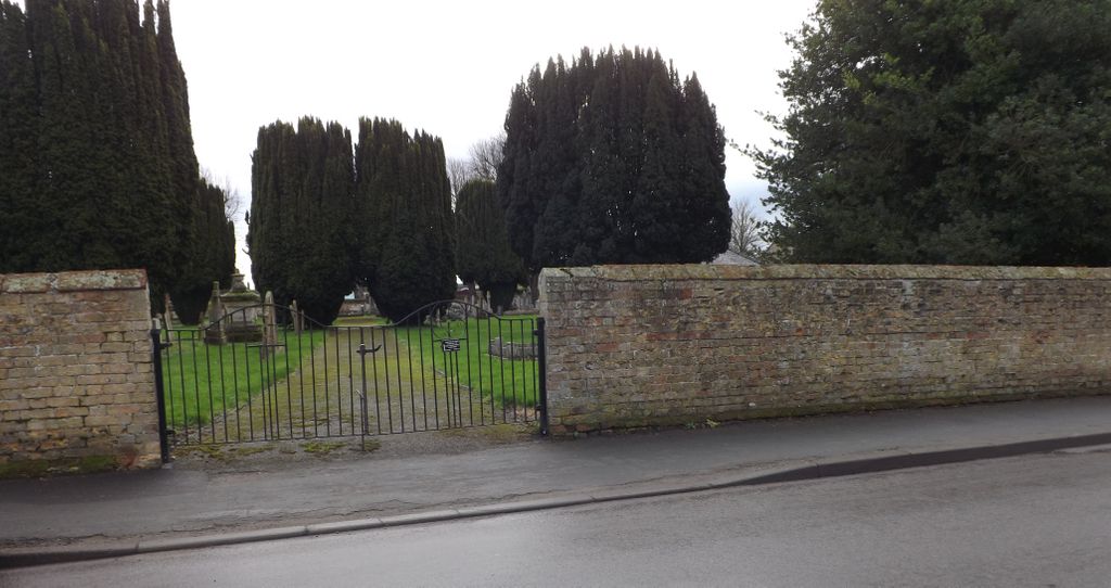
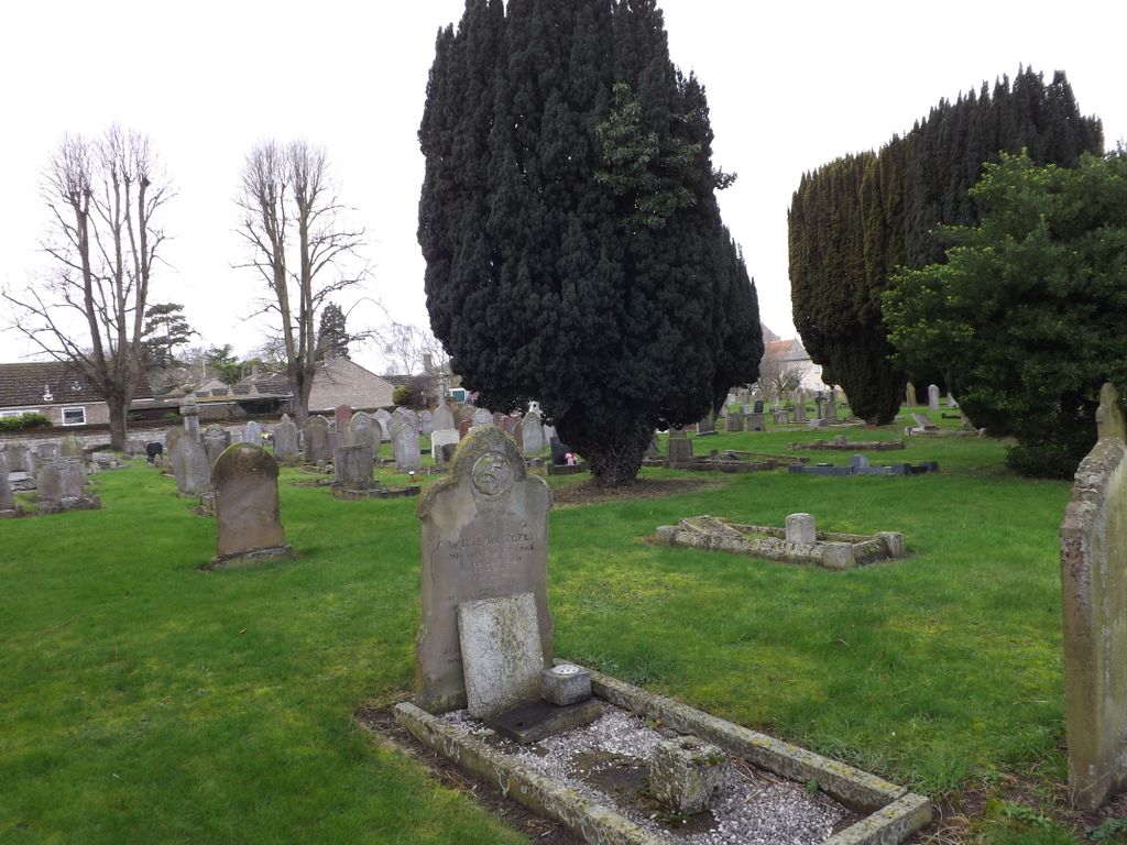
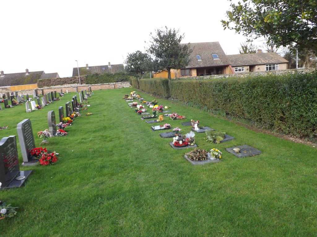
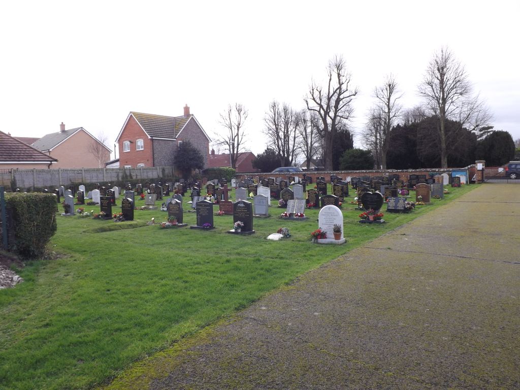
| Description | : | Isleham is a small village and civil parish in the English county of Cambridgeshire. It is part of the Fens. This cemetery, near St. Andrew's Church, was begun in 1856. It is divided into two parts belonging respectively to the Church and the Parish Council. The newer part belonging to the Parish Counci is across Beck Road, and even that is divided into two sections. |
frequently asked questions (FAQ):
-
Where is Isleham Cemetery?
Isleham Cemetery is located at Beck Road Isleham, East Cambridgeshire District ,Cambridgeshire ,England.
-
Isleham Cemetery cemetery's updated grave count on graveviews.com?
0 memorials
-
Where are the coordinates of the Isleham Cemetery?
Latitude: 52.3425900
Longitude: 0.4141400
Nearby Cemetories:
1. St Andrew Churchyard
Isleham, East Cambridgeshire District, England
Coordinate: 52.3430930, 0.4114930
2. St Peters Churchyard
West Row, Forest Heath District, England
Coordinate: 52.3513890, 0.4574270
3. West Row Baptist Chapelyard
West Row, Forest Heath District, England
Coordinate: 52.3554700, 0.4569760
4. St. Andrew's Churchyard
Freckenham, Forest Heath District, England
Coordinate: 52.3187500, 0.4427300
5. Ss Peter & Mary Magdalene Churchyard Extension
Fordham, East Cambridgeshire District, England
Coordinate: 52.3110500, 0.3961500
6. Ss Peter & Mary Magdalene New Extension Cemetery
Fordham, East Cambridgeshire District, England
Coordinate: 52.3105300, 0.3940000
7. Ss Peter & Mary Magdalene Churchyard
Fordham, East Cambridgeshire District, England
Coordinate: 52.3101300, 0.3947400
8. All Saints Churchyard
Worlington, Forest Heath District, England
Coordinate: 52.3367540, 0.4810040
9. St Margaret Churchyard
Chippenham, East Cambridgeshire District, England
Coordinate: 52.3010950, 0.4381590
10. Soham Cemetery
Soham, East Cambridgeshire District, England
Coordinate: 52.3266440, 0.3464510
11. St Andrew Churchyard
Soham, East Cambridgeshire District, England
Coordinate: 52.3330002, 0.3380000
12. Beck Row Methodist Churchyard
Beck Row, Forest Heath District, England
Coordinate: 52.3701225, 0.4866503
13. St. John's Churchyard
Beck Row, Forest Heath District, England
Coordinate: 52.3663830, 0.4947150
14. St Mary's Churchyard
Mildenhall, Forest Heath District, England
Coordinate: 52.3427600, 0.5091020
15. Mildenhall War Memorial
Mildenhall, Forest Heath District, England
Coordinate: 52.3441200, 0.5115400
16. St Nicholas Churchyard
Landwade, Forest Heath District, England
Coordinate: 52.2870860, 0.3784460
17. Methodist Chapel
Holywell Row, Forest Heath District, England
Coordinate: 52.3661040, 0.5067880
18. St. Peter Churchyard
Snailwell, East Cambridgeshire District, England
Coordinate: 52.2815100, 0.4059500
19. Kingsway Old Cemetery
Mildenhall, Forest Heath District, England
Coordinate: 52.3441770, 0.5148110
20. St Mary the Virgin Churchyard
Barton Mills, Forest Heath District, England
Coordinate: 52.3353300, 0.5188900
21. Mildenhall cemetery
Mildenhall, Forest Heath District, England
Coordinate: 52.3450530, 0.5276780
22. Wicken Cemetery
Wicken, East Cambridgeshire District, England
Coordinate: 52.3112600, 0.3125100
23. St Laurence Churchyard
Wicken, East Cambridgeshire District, England
Coordinate: 52.3107220, 0.3122250
24. St. Nicholas Churchyard
Kennett, East Cambridgeshire District, England
Coordinate: 52.2870190, 0.4904830