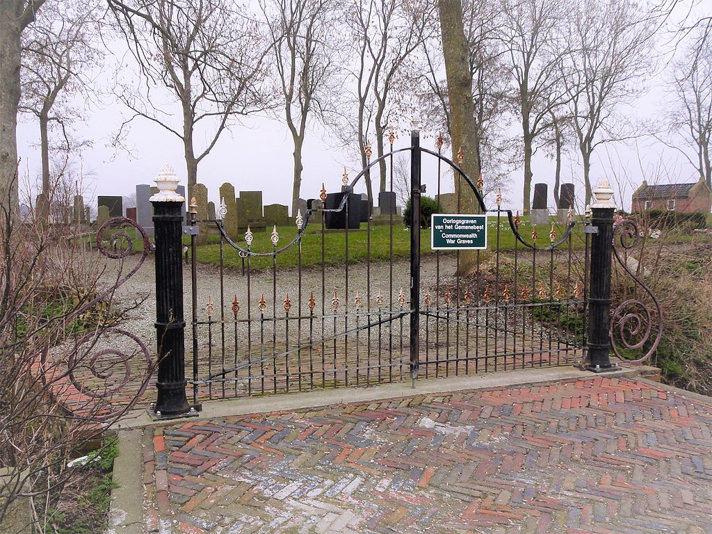
| Memorials | : | 0 |
| Location | : | Wierhuizen, De Marne Municipality, Netherlands |
| Coordinate | : | 53.4011600, 6.4255300 |
| Description | : | Wierhuizen, in the commune of Eenrum, is on the Broek-Pieterburen road, 1 kilometre north of Broek and just over 37 kilometres north-west of the town of Groningen. The cemetery is on the eastern side of the Broek-Pieterburen road. |
frequently asked questions (FAQ):
-
Where is Wierhuizen Protestant Cemetery?
Wierhuizen Protestant Cemetery is located at Wierhuizen, De Marne Municipality ,Groningen ,Netherlands.
-
Wierhuizen Protestant Cemetery cemetery's updated grave count on graveviews.com?
0 memorials
-
Where are the coordinates of the Wierhuizen Protestant Cemetery?
Latitude: 53.4011600
Longitude: 6.4255300
Nearby Cemetories:
1. Westernieland General Cemetery
Westernieland, De Marne Municipality, Netherlands
Coordinate: 53.4026700, 6.4779200
2. Eenrum Begraafplaats
Eenrum, De Marne Municipality, Netherlands
Coordinate: 53.3634900, 6.4617500
3. Leens General Cemetery
Leens, De Marne Municipality, Netherlands
Coordinate: 53.3611900, 6.3785100
4. Joodse Begraafplaats
Leens, De Marne Municipality, Netherlands
Coordinate: 53.3611600, 6.3775600
5. Den Andel Protestant Cemetery
Den Andel, Winsum Municipality, Netherlands
Coordinate: 53.3855700, 6.5096200
6. Mensingeweer Algemene Begraafplaats
Mensingeweer, De Marne Municipality, Netherlands
Coordinate: 53.3520200, 6.4657900
7. Ulrum General Cemetery
Ulrum, De Marne Municipality, Netherlands
Coordinate: 53.3601400, 6.3449700
8. Zuurdijk Begraafplaats
Zuurdijk, De Marne Municipality, Netherlands
Coordinate: 53.3378500, 6.3783900
9. Schouwerzijl Begraafplaats
Schouwerzijl, De Marne Municipality, Netherlands
Coordinate: 53.3331100, 6.4507400
10. Baflo Cemetery
Baflo, Winsum Municipality, Netherlands
Coordinate: 53.3622100, 6.5232900
11. Maarhuizen Cemetery
Maarhuizen, Winsum Municipality, Netherlands
Coordinate: 53.3418900, 6.4917700
12. Houwerzijl Cemetery
Houwerzijl, De Marne Municipality, Netherlands
Coordinate: 53.3390500, 6.3429500
13. Warffum Communal Cemetery
Warffum, Eemsmond Municipality, Netherlands
Coordinate: 53.3935400, 6.5585300
14. Saaksum Kerk Cemetery
Saaksum, Zuidhorn Municipality, Netherlands
Coordinate: 53.3137050, 6.4201890
15. Vierhuizen Begraafplaats
Vierhuizen, De Marne Municipality, Netherlands
Coordinate: 53.3603100, 6.2934400
16. Winsum General Cemetery
Winsum, Winsum Municipality, Netherlands
Coordinate: 53.3280100, 6.5121400
17. Bellingeweer Cemetery
Bellingeweer, Winsum Municipality, Netherlands
Coordinate: 53.3253200, 6.5182100
18. Usquert General Cemetery
Usquert, Eemsmond Municipality, Netherlands
Coordinate: 53.4045800, 6.6109600
19. Niehove Begraafplaats
Niehove, Zuidhorn Municipality, Netherlands
Coordinate: 53.2917100, 6.3731100
20. Sauwerd New Cemetery
Sauwerd, Winsum Municipality, Netherlands
Coordinate: 53.2975400, 6.5357900
21. Kantens Algemene begraafplaats
Kantens, Eemsmond Municipality, Netherlands
Coordinate: 53.3662600, 6.6333800
22. Toornwerd Begraafplaats
Toornwerd, Loppersum Municipality, Netherlands
Coordinate: 53.3538400, 6.6360700
23. Saint Hippolytus Churchyard
Middelstum, Loppersum Municipality, Netherlands
Coordinate: 53.3477817, 6.6412390
24. Begraafplaats Wierum
Wierumerschouw, Zuidhorn Municipality, Netherlands
Coordinate: 53.2683085, 6.5122962

