| Memorials | : | 4 |
| Location | : | Locust Grove, Orange County, USA |
| Coordinate | : | 38.3228930, -77.7303960 |
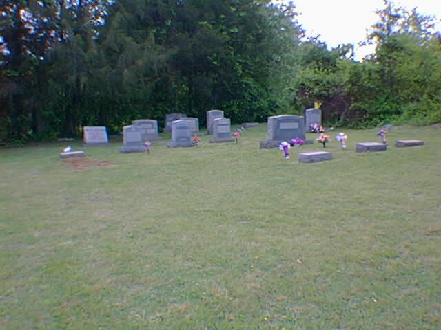
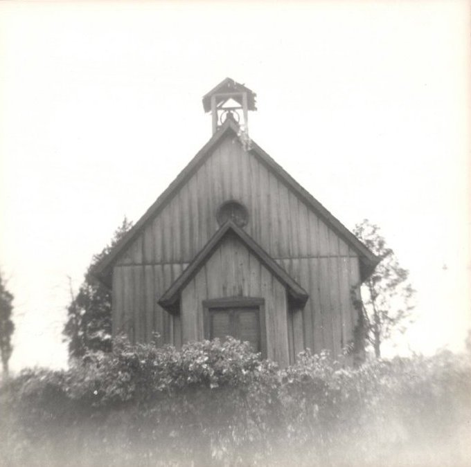
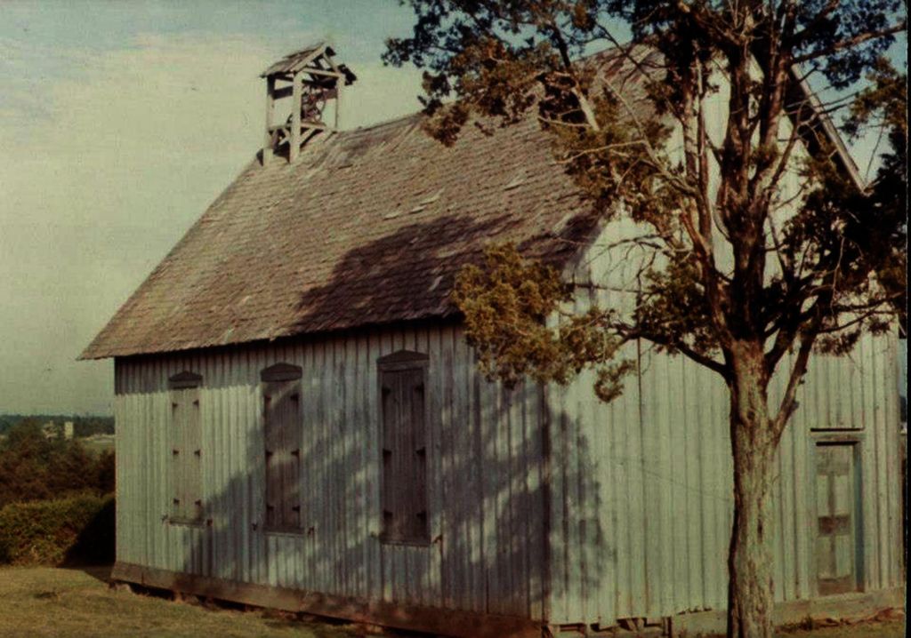
| Description | : | This cemetery is also know as the Alexander Chapel. It is still active, all that remains of the chapel is the foundation, The vestibule shown in the picture has recently fallen. |
frequently asked questions (FAQ):
-
Where is Wilderness Chapel Cemetery?
Wilderness Chapel Cemetery is located at Constitution Highway (Rt. 20) Locust Grove, Orange County ,Virginia , 22508USA.
-
Wilderness Chapel Cemetery cemetery's updated grave count on graveviews.com?
4 memorials
-
Where are the coordinates of the Wilderness Chapel Cemetery?
Latitude: 38.3228930
Longitude: -77.7303960
Nearby Cemetories:
1. Jones Family Cemetery
Orange County, USA
Coordinate: 38.3438110, -77.7248383
2. Pilgrim Baptist Church Cemetery
Locust Grove, Orange County, USA
Coordinate: 38.3455560, -77.7419600
3. Spotswood Family Cemetery
Locust Grove, Orange County, USA
Coordinate: 38.3448200, -77.7468110
4. Dempsey Family Cemetery
Flat Run, Orange County, USA
Coordinate: 38.3452910, -77.7595140
5. Willis Cemetery
Locust Grove, Orange County, USA
Coordinate: 38.3493040, -77.7769730
6. Mount Zion Baptist Church Cemetery
Locust Grove, Orange County, USA
Coordinate: 38.3440710, -77.7981470
7. Urquhart Family Cemetery
Locust Grove, Orange County, USA
Coordinate: 38.3766670, -77.7844440
8. Germanna Memorial Garden
Locust Grove, Orange County, USA
Coordinate: 38.3773640, -77.7838230
9. Fort Germanna Burying Ground
Madison County, USA
Coordinate: 38.3773660, -77.7838220
10. Richardsville United Methodist Church Cemetery
Richardsville, Culpeper County, USA
Coordinate: 38.4006820, -77.7267770
11. Zoar Cemetery
Burr Hill, Orange County, USA
Coordinate: 38.3319016, -77.8296967
12. Oakland Baptist Church Cemetery
Richardsville, Culpeper County, USA
Coordinate: 38.4045370, -77.7404100
13. Lewistown Cemetery
Locust Grove, Orange County, USA
Coordinate: 38.3602040, -77.8273730
14. New Hope Cemetery
Locust Grove, Orange County, USA
Coordinate: 38.2635020, -77.8118950
15. Quann-Chambers Cemetery
Rhoadesville, Orange County, USA
Coordinate: 38.3074493, -77.8535843
16. Kube Family Cemetery
Rhoadesville, Orange County, USA
Coordinate: 38.3067640, -77.8576390
17. Rhoades Family Farm Cemetery
Burr Hill, Orange County, USA
Coordinate: 38.3380400, -77.8616560
18. Coleman Cemetery
Rhoadesville, Orange County, USA
Coordinate: 38.3371450, -77.8692970
19. Hopewell United Methodist Church Cemetery
Lignum, Culpeper County, USA
Coordinate: 38.4128110, -77.8235200
20. Lael Cemetery
Lignum, Culpeper County, USA
Coordinate: 38.4153960, -77.8289080
21. Wallace Cemetery
Mine Run, Orange County, USA
Coordinate: 38.2313820, -77.8345900
22. Mount Pisgah Baptist Church Cemetery
True Blue, Orange County, USA
Coordinate: 38.3480988, -77.8886032
23. Salem Cemetery
Rhoadesville, Orange County, USA
Coordinate: 38.2769012, -77.8871994
24. Sumerduck Baptist Church Cemetery
Sumerduck, Fauquier County, USA
Coordinate: 38.4560910, -77.7257030


