| Memorials | : | 1 |
| Location | : | Alliance, Pamlico County, USA |
| Coordinate | : | 35.1436810, -76.7900450 |
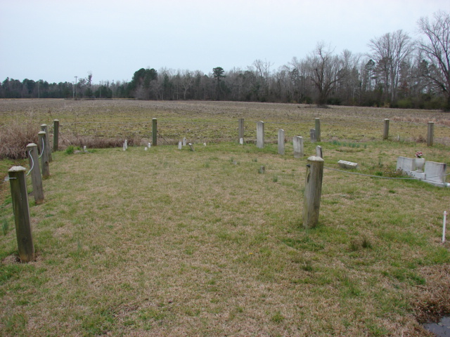
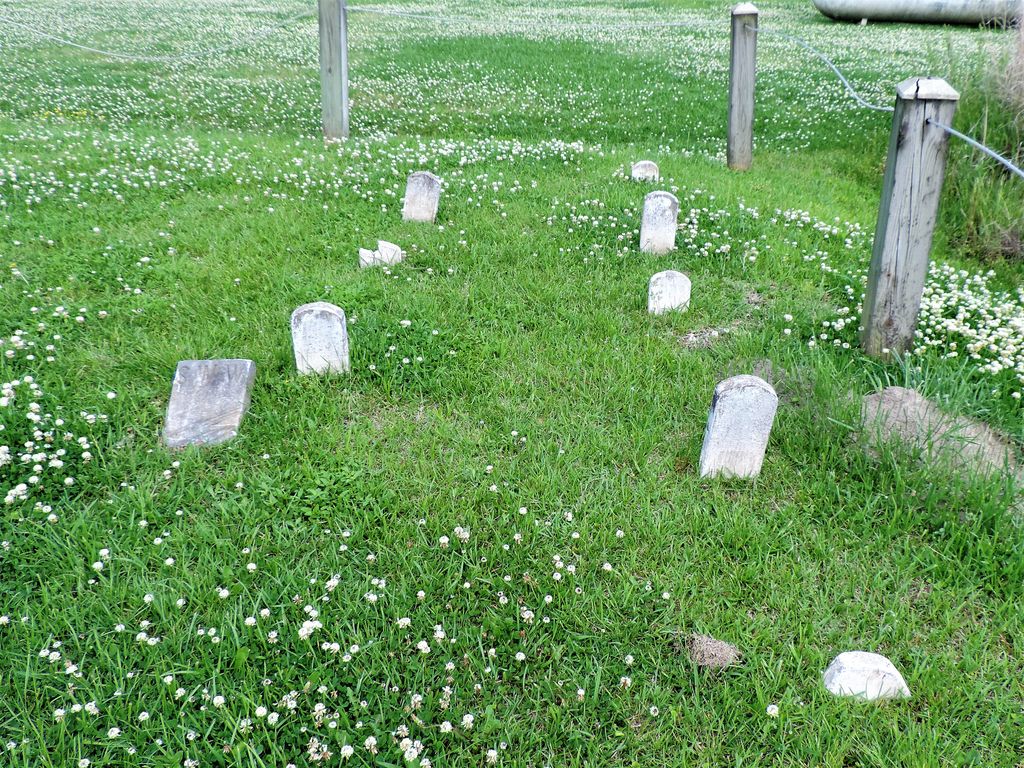
| Description | : | This small family plot is located on NC Highway 55 (Main Street) Alliance, Pamlico, NC 28515, with a Postal address of 13896 NC 55 Highway, Bayboro, NC, 28515, USA. It is situated next to the Hardee's Restuarant in Bayboro, North Carolina |
frequently asked questions (FAQ):
-
Where is Williams Family Plot?
Williams Family Plot is located at 13896 NC 55 Highway Alliance, Pamlico County ,North Carolina , 28515USA.
-
Williams Family Plot cemetery's updated grave count on graveviews.com?
0 memorials
-
Where are the coordinates of the Williams Family Plot?
Latitude: 35.1436810
Longitude: -76.7900450
Nearby Cemetories:
1. West Branch Missionary Baptist Church Cemetery
Bayboro, Pamlico County, USA
Coordinate: 35.1429440, -76.7837170
2. Cowell Cemetery
Alliance, Pamlico County, USA
Coordinate: 35.1400850, -76.7965680
3. Tyndall Cemetery
Alliance, Pamlico County, USA
Coordinate: 35.1397900, -76.8007200
4. Alliance Holy Church of God Cemetery
Alliance, Pamlico County, USA
Coordinate: 35.1545760, -76.8047310
5. Potter's Field
Bayboro, Pamlico County, USA
Coordinate: 35.1441470, -76.7693640
6. Miller Cemetery #2
Bayboro, Pamlico County, USA
Coordinate: 35.1442130, -76.7693600
7. Masonic Cemetery
Bayboro, Pamlico County, USA
Coordinate: 35.1445000, -76.7690300
8. Miller Cemetery #1
Bayboro, Pamlico County, USA
Coordinate: 35.1404900, -76.7692200
9. Campen Cemetery
Alliance, Pamlico County, USA
Coordinate: 35.1452300, -76.8115900
10. McCotter Cemetery
Alliance, Pamlico County, USA
Coordinate: 35.1460700, -76.8119400
11. James Arthur Tingle Family Cemetery
Alliance, Pamlico County, USA
Coordinate: 35.1452600, -76.8121500
12. West Cemetery
Alliance, Pamlico County, USA
Coordinate: 35.1449100, -76.8141900
13. Saint Mark A.M.E. Zion Church Cemetery
Bayboro, Pamlico County, USA
Coordinate: 35.1540430, -76.7679270
14. Greenhill Missionary Baptist Church Cemetery
Bayboro, Pamlico County, USA
Coordinate: 35.1500960, -76.7655210
15. Bell Family Cemetery
Bayboro, Pamlico County, USA
Coordinate: 35.1494600, -76.7649500
16. Rice Family Cemetery
Grantsboro, Pamlico County, USA
Coordinate: 35.1376000, -76.8222200
17. Dixon Cemetery
Alliance, Pamlico County, USA
Coordinate: 35.1377910, -76.8243460
18. Gatlin Cemetery
Stonewall, Pamlico County, USA
Coordinate: 35.1373700, -76.7529200
19. Sawyer Family Cemetery
Bayboro, Pamlico County, USA
Coordinate: 35.1590400, -76.7552300
20. Jewell Family Cemetery
Bayboro, Pamlico County, USA
Coordinate: 35.1514500, -76.7515000
21. Lane Cemetery
Stonewall, Pamlico County, USA
Coordinate: 35.1385570, -76.7506210
22. Dudley Family Cemetery
Bayboro, Pamlico County, USA
Coordinate: 35.1446300, -76.7461700
23. McKinley Dudley Family Cemetery
Bayboro, Pamlico County, USA
Coordinate: 35.1434600, -76.7439700
24. Fowler Cemetery
Stonewall, Pamlico County, USA
Coordinate: 35.1395700, -76.7438700


