
| Memorials | : | 0 |
| Location | : | Glendale, Douglas County, USA |
| Coordinate | : | 42.7753400, -123.3159800 |
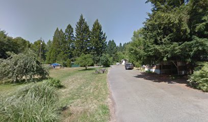
| Description | : | Located off Hob Lane near Fortune Branch. The Wilson family buried their two children on their land. When they moved in 1925, they sold the rest of the land with the exception of the cemetery, which is marked off from the surrounding property with a fence and is still owned by the Wilson family. |
frequently asked questions (FAQ):
-
Where is Wilson Family Cemetery?
Wilson Family Cemetery is located at Glendale, Douglas County ,Oregon ,USA.
-
Wilson Family Cemetery cemetery's updated grave count on graveviews.com?
0 memorials
-
Where are the coordinates of the Wilson Family Cemetery?
Latitude: 42.7753400
Longitude: -123.3159800
Nearby Cemetories:
1. Gilham Cemetery
Azalea, Douglas County, USA
Coordinate: 42.7812280, -123.2959130
2. Mountain Grove Cemetery
Glendale, Douglas County, USA
Coordinate: 42.7545710, -123.3265090
3. Quines Creek Cemetery
Douglas County, USA
Coordinate: 42.7896996, -123.2683029
4. Glendale Memorial Cemetery
Glendale, Douglas County, USA
Coordinate: 42.7332993, -123.4263992
5. Golden Church Cemetery
Golden, Josephine County, USA
Coordinate: 42.6820710, -123.3315110
6. Wolf Creek Cemetery
Wolf Creek, Josephine County, USA
Coordinate: 42.6980320, -123.3982560
7. Bear Gulch Cemetery
Wolf Creek, Josephine County, USA
Coordinate: 42.6691900, -123.3151900
8. Placer Cemetery
Placer, Josephine County, USA
Coordinate: 42.6361100, -123.3138900
9. Browning Cemetery
Josephine County, USA
Coordinate: 42.6361008, -123.3139038
10. Lower Wolf Creek Cemetery
Josephine County, USA
Coordinate: 42.6780030, -123.4569170
11. Grave Creek Burial Site
Sunny Valley, Josephine County, USA
Coordinate: 42.6365320, -123.3773770
12. Fort Leland Burial Ground
Leland, Josephine County, USA
Coordinate: 42.6397050, -123.3902010
13. Pioneer Cemetery
Canyonville, Douglas County, USA
Coordinate: 42.9258230, -123.2808530
14. Dog Creek Cemetery
Leland, Josephine County, USA
Coordinate: 42.6358650, -123.4253590
15. Rosehill Cemetery
Canyonville, Douglas County, USA
Coordinate: 42.9358900, -123.2813100
16. Canyonville Cemetery
Canyonville, Douglas County, USA
Coordinate: 42.9366989, -123.2806015
17. Yokum Cemetery
Douglas County, USA
Coordinate: 42.9431800, -123.3410100
18. Briggs Cemetery
Canyonville, Douglas County, USA
Coordinate: 42.9493420, -123.3131450
19. Riddle Cemetery
Riddle, Douglas County, USA
Coordinate: 42.9486008, -123.3764038
20. Dumont Cemetery
Days Creek, Douglas County, USA
Coordinate: 42.9768700, -123.1812660
21. Bland Mountain Cemetery
Douglas County, USA
Coordinate: 42.9528008, -123.1271973
22. Lavadoure Cemetery
Douglas County, USA
Coordinate: 42.9444008, -123.0931015
23. Pleasant Hill Cemetery
Hugo, Josephine County, USA
Coordinate: 42.5416070, -123.3826510
24. Pleasant Valley Cemetery
Grants Pass, Josephine County, USA
Coordinate: 42.5416985, -123.3833008