| Memorials | : | 20 |
| Location | : | Windellama, Goulburn Mulwaree Council, Australia |
| Website | : | www.anglicancg.org.au/html/s01_home/home.asp?id=home |
| Coordinate | : | -35.0136720, 149.8632810 |
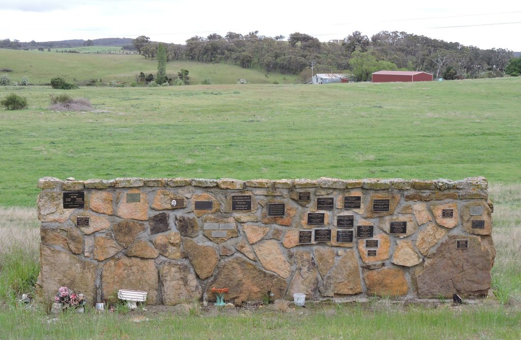
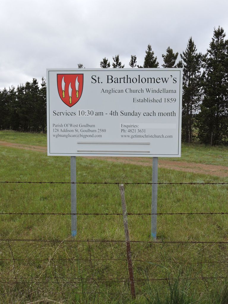
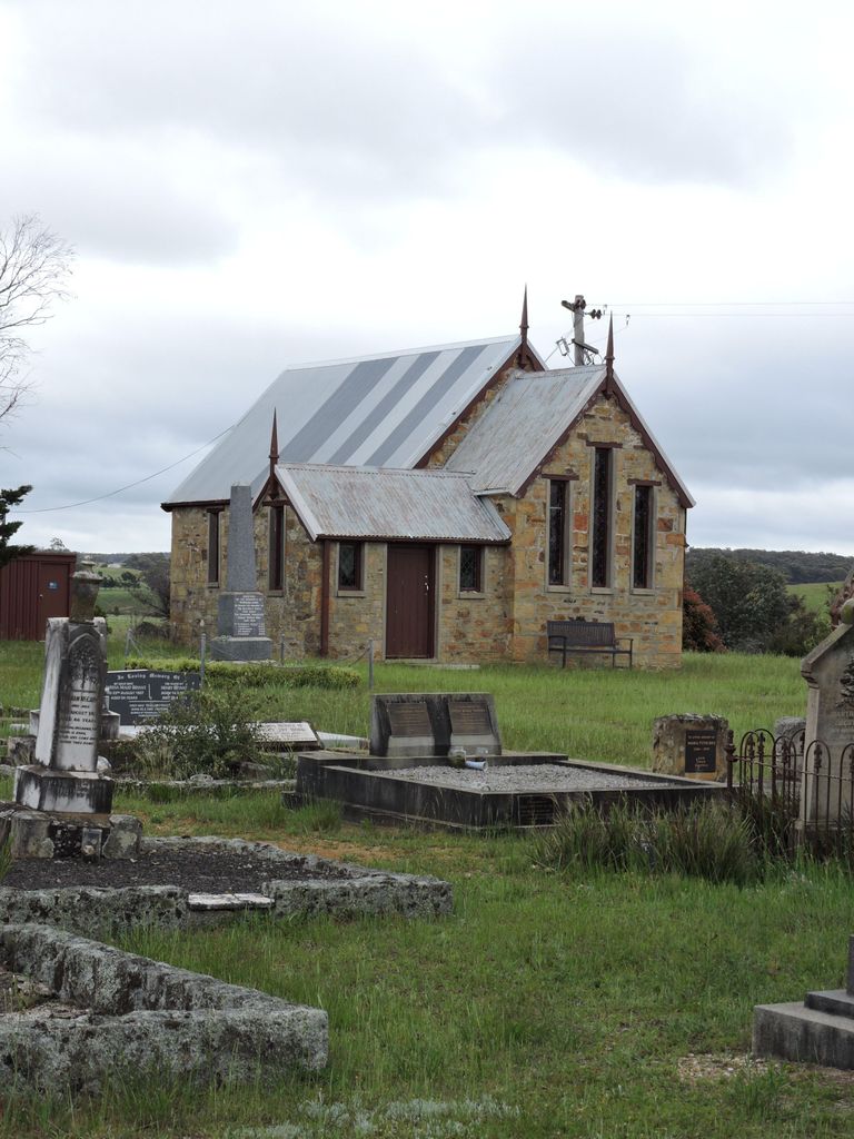
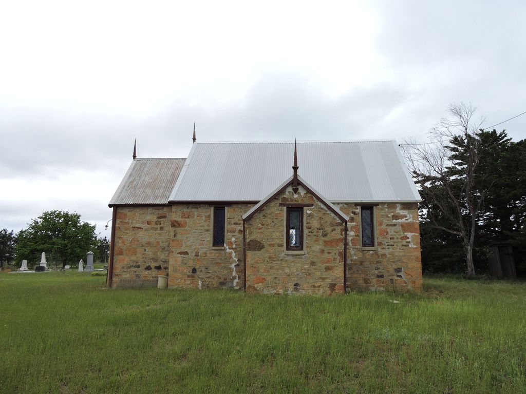
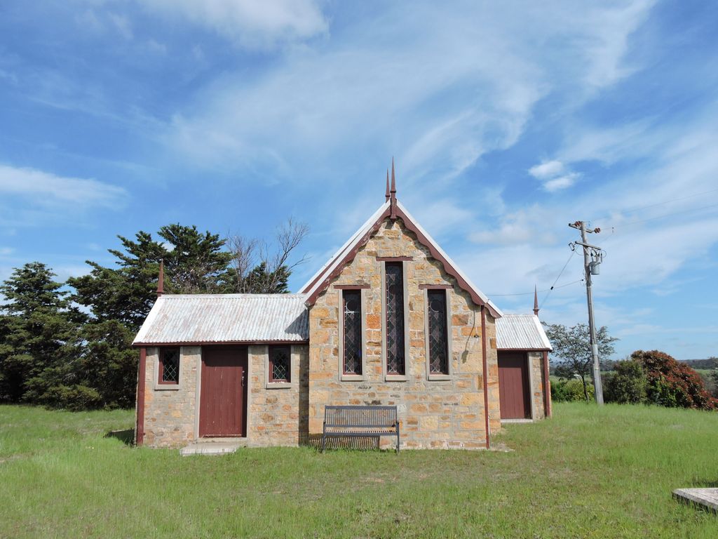
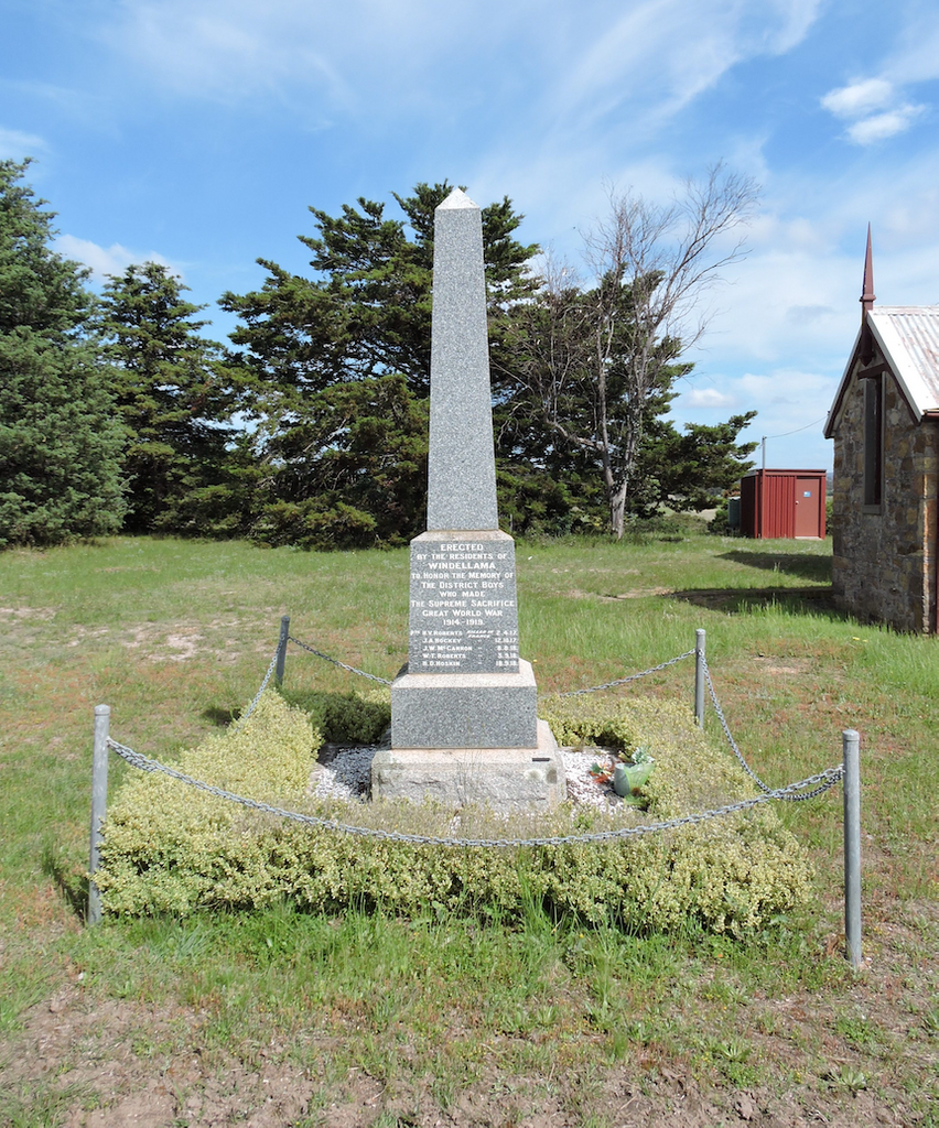
| Description | : | Windellama Anglican Cemetery is in the grounds of the church of St Bartholomew. It consists of a general monumental section with inscriptions dating from 1854, a memorial wall that was dedicated on 27 August 1995 and a War memorial listing the names of local men who died during both World Wars. The foundation stone for the church was laid On 27 October 1859. Richard Cornelius Cartwright (brother of Thomas) was the instigator of establishing a church at Windellama but only two months after the foundation stone was laid, he died and was buried in the Cartwright plot. His headstone is... Read More |
frequently asked questions (FAQ):
-
Where is Windellama Anglican Cemetery?
Windellama Anglican Cemetery is located at Windellama Road Windellama, Goulburn Mulwaree Council ,New South Wales , 2580Australia.
-
Windellama Anglican Cemetery cemetery's updated grave count on graveviews.com?
17 memorials
-
Where are the coordinates of the Windellama Anglican Cemetery?
Latitude: -35.0136720
Longitude: 149.8632810
Nearby Cemetories:
1. Windellama Roman Catholic Cemetery
Windellama, Goulburn Mulwaree Council, Australia
Coordinate: -34.9849850, 149.7978860
2. Roberts Family Cemetery
Windellama, Goulburn Mulwaree Council, Australia
Coordinate: -34.9855470, 149.7973600
3. Bungonia Cemetery
Bungonia, Goulburn Mulwaree Council, Australia
Coordinate: -34.8632150, 149.9422700
4. Christ Church Anglican Churchyard
Bungonia, Goulburn Mulwaree Council, Australia
Coordinate: -34.8590005, 149.9432472
5. St. John's Church Cemetery
Lake Bathurst, Goulburn Mulwaree Council, Australia
Coordinate: -35.0120700, 149.6477890
6. Tarago General Cemetery
Tarago, Goulburn Mulwaree Council, Australia
Coordinate: -35.0786380, 149.6413420
7. Nerriga General Cemetery
Nerriga, Queanbeyan–Palerang Regional Council, Australia
Coordinate: -35.1127380, 150.0868650
8. Nerriga Catholic Cemetery
Nerriga, Queanbeyan–Palerang Regional Council, Australia
Coordinate: -35.1226300, 150.0800301
9. Komungla General Cemetery
Komungla, Goulburn Mulwaree Council, Australia
Coordinate: -34.8784540, 149.6404940
10. St. Andrew's Cemetery
Tirrannaville, Goulburn Mulwaree Council, Australia
Coordinate: -34.8181980, 149.6833340
11. Goulburn Jewish Cemetery
Goulburn, Goulburn Mulwaree Council, Australia
Coordinate: -34.7551950, 149.7433550
12. Goulburn General Cemetery
Goulburn, Goulburn Mulwaree Council, Australia
Coordinate: -34.7442800, 149.7541200
13. Sts Peter & Paul Old Cathedral
Goulburn, Goulburn Mulwaree Council, Australia
Coordinate: -34.7556340, 149.7150370
14. Saint Saviours Cathedral Churchyard
Goulburn, Goulburn Mulwaree Council, Australia
Coordinate: -34.7531700, 149.7159700
15. Goulburn Old Cemetery
Goulburn, Goulburn Mulwaree Council, Australia
Coordinate: -34.7444690, 149.7378160
16. Saint Saviours Anglican Cemetery
Goulburn, Goulburn Mulwaree Council, Australia
Coordinate: -34.7406960, 149.7432970
17. Larbert Cemetery
Queanbeyan–Palerang Regional Council, Australia
Coordinate: -35.2961950, 149.7608180
18. St. Mary Cemetery
Yarra, Goulburn Mulwaree Council, Australia
Coordinate: -34.7973480, 149.6142910
19. St Patricks College (now Trinity Catholic College)
Goulburn, Goulburn Mulwaree Council, Australia
Coordinate: -34.7492240, 149.6969980
20. Marulan Anglican Cemetery
Marulan, Goulburn Mulwaree Council, Australia
Coordinate: -34.7318400, 149.9817200
21. Marulan Catholic Cemetery
Marulan, Goulburn Mulwaree Council, Australia
Coordinate: -34.7281400, 149.9862120
22. Kenmore Mental Hospital Cemetery
Kenmore, Goulburn Mulwaree Council, Australia
Coordinate: -34.7187600, 149.7554470
23. Kenmore Roman Catholic Cemetery
Goulburn, Goulburn Mulwaree Council, Australia
Coordinate: -34.7244290, 149.7319710
24. St Johns Anglican Churchyard
Towrang, Goulburn Mulwaree Council, Australia
Coordinate: -34.6956160, 149.8507090

