
| Memorials | : | 0 |
| Location | : | McNairy County, USA |
| Coordinate | : | 35.0291180, -88.7443210 |
| Description | : | From the intersection of John Howell Rd. & TN-57, halfway between Pocohontas & Ramer, travel south on John Howell Rd. for 4.9 mi. through Big Hill Pond State Park; turning east onto a gravel road leading about 200 yards towards the cemetery. Alternate way is to come from the south, via Wolf Pen Rd., to John Howell Rd., but walking across the bridge over the Tuscumbia River to the cemetery. |
frequently asked questions (FAQ):
-
Where is Wooten Cemetery?
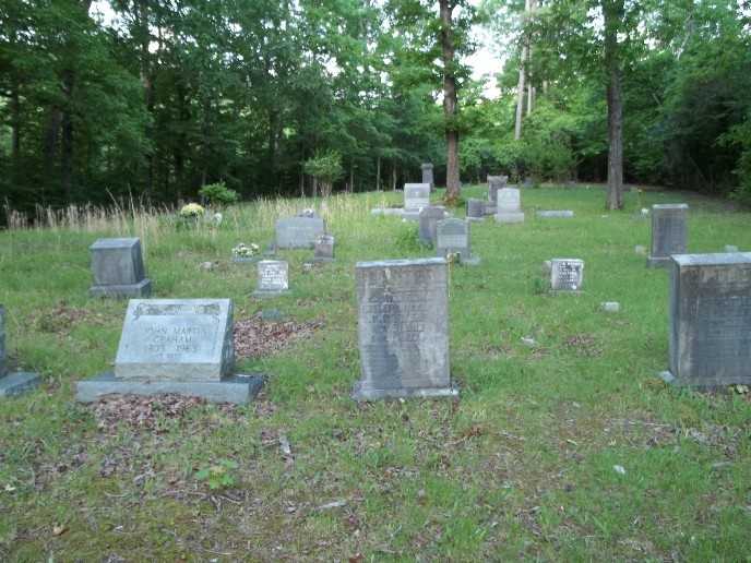
Wooten Cemetery is located at 4879-5621 John Howell Road McNairy County ,Tennessee , 38061USA.
-
Wooten Cemetery cemetery's updated grave count on graveviews.com?
0 memorials
-
Where are the coordinates of the Wooten Cemetery?
Latitude: 35.0291180
Longitude: -88.7443210
Nearby Cemetories:
1. Mathis Cemetery
McNairy County, USA
Coordinate: 35.0414009, -88.7769012
2. Deming Cemetery
Ramer, McNairy County, USA
Coordinate: 35.0524840, -88.7075520
3. Morphis Cemetery
McNairy County, USA
Coordinate: 35.0701720, -88.7510980
4. Kirk Cemetery
McNairy County, USA
Coordinate: 35.0711790, -88.7573040
5. Davis Bridge Battlefield Cemetery
Pocahontas, Hardeman County, USA
Coordinate: 35.0279380, -88.7972870
6. Head Family Cemetery
McNairy County, USA
Coordinate: 35.0741640, -88.7324250
7. Union Soldiers Grave
McNairy County, USA
Coordinate: 35.0752240, -88.7241290
8. Coleman Cemetery
Pocahontas, Hardeman County, USA
Coordinate: 35.0626810, -88.7897690
9. Essary Springs Cemetery
Pocahontas, Hardeman County, USA
Coordinate: 35.0122620, -88.8036620
10. Ingram Cemetery
McNairy County, USA
Coordinate: 35.0726900, -88.7818800
11. White Oak Cemetery
Ramer, McNairy County, USA
Coordinate: 35.0562340, -88.6859940
12. Turner Cemetery
Chewalla, McNairy County, USA
Coordinate: 35.0186005, -88.6778030
13. Moore Cemetery
Pocahontas, Hardeman County, USA
Coordinate: 35.0409830, -88.8116050
14. McCrary Cemetery
McNairy County, USA
Coordinate: 35.0773000, -88.7829000
15. Young Cemetery
Chewalla, McNairy County, USA
Coordinate: 34.9994880, -88.6839030
16. Oak Grove Methodist Church Cemetery
Pocahontas, Hardeman County, USA
Coordinate: 35.0125200, -88.8171340
17. Bethel Cemetery
Pocahontas, Hardeman County, USA
Coordinate: 35.0317900, -88.8244720
18. Oak Grove Cemetery
Chewalla, McNairy County, USA
Coordinate: 34.9965550, -88.6699210
19. Tuscumbia Baptist Church Cemetery
Corinth, Alcorn County, USA
Coordinate: 34.9712190, -88.6946870
20. Antioch Cemetery
Ramer, McNairy County, USA
Coordinate: 35.0693180, -88.6705420
21. Eureka Cemetery
McNairy County, USA
Coordinate: 35.0994240, -88.7724050
22. Eureka Cemetery
Pocahontas, Hardeman County, USA
Coordinate: 35.0994920, -88.7723770
23. Keith Cemetery
Walnut, Tippah County, USA
Coordinate: 34.9855995, -88.8217010
24. Bethel Cemetery
Walnut, Tippah County, USA
Coordinate: 34.9878311, -88.8240280