| Memorials | : | 5 |
| Location | : | Farmersville, Montgomery County, USA |
| Coordinate | : | 39.7273230, -84.4259830 |
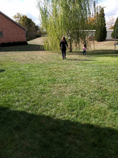
| Description | : | Located about 600 ft. west of Farmersville-Johnsville Rd. and 650 Ft. north of Dechant Rd. It has been an inactive community cemetery for 100+ years and is on private property. Permission needs to be granted prior to visiting. These readings have been abstracted from the list compiled by Lindsey Brian in the 1930s and additions by Lois Davidson and Virginia Stoltz taken in 1990. |
frequently asked questions (FAQ):
-
Where is Wyrick Cemetery?
Wyrick Cemetery is located at Farmersville, Montgomery County ,Ohio ,USA.
-
Wyrick Cemetery cemetery's updated grave count on graveviews.com?
5 memorials
-
Where are the coordinates of the Wyrick Cemetery?
Latitude: 39.7273230
Longitude: -84.4259830
Nearby Cemetories:
1. Miller Cemetery
Johnsville, Montgomery County, USA
Coordinate: 39.7370580, -84.4524160
2. Warvel Cemetery
New Lebanon, Montgomery County, USA
Coordinate: 39.7494010, -84.4492440
3. Leslie Cemetery
Farmersville, Montgomery County, USA
Coordinate: 39.6941110, -84.4127230
4. Holp Cemetery
Farmersville, Montgomery County, USA
Coordinate: 39.7010994, -84.3957977
5. Slifer Cemetery
Farmersville, Montgomery County, USA
Coordinate: 39.6994019, -84.3957977
6. Eversole Cemetery
New Lebanon, Montgomery County, USA
Coordinate: 39.7593994, -84.3897018
7. Pfoutz Cemetery
New Lebanon, Montgomery County, USA
Coordinate: 39.7658330, -84.4003330
8. Trissel Cemetery
New Lebanon, Montgomery County, USA
Coordinate: 39.7360992, -84.3685989
9. Eby Cemetery
County Line, Preble County, USA
Coordinate: 39.7329230, -84.4844740
10. Farmersville United Brethren Cemetery
Farmersville, Montgomery County, USA
Coordinate: 39.6789400, -84.4291100
11. Farmersville Cemetery
Montgomery County, USA
Coordinate: 39.6769638, -84.4245605
12. Erbaugh Cemetery
New Lebanon, Montgomery County, USA
Coordinate: 39.7628330, -84.3745000
13. Weaver Cemetery
Liberty, Montgomery County, USA
Coordinate: 39.7108900, -84.3574400
14. Stiver Cemetery
Montgomery County, USA
Coordinate: 39.6848150, -84.4790750
15. Enterprise Cemetery
West Alexandria, Preble County, USA
Coordinate: 39.7038994, -84.5000000
16. Forney Cemetery
Liberty, Montgomery County, USA
Coordinate: 39.7219009, -84.3394012
17. Henderson Grave
Farmersville, Montgomery County, USA
Coordinate: 39.6723460, -84.4778470
18. Shideler Cemetery
Germantown, Montgomery County, USA
Coordinate: 39.6641520, -84.3888490
19. Sugar Hill Cemetery
West Alexandria, Preble County, USA
Coordinate: 39.7350006, -84.5166626
20. Brower Cemetery
Enterprise, Preble County, USA
Coordinate: 39.6789200, -84.4991970
21. Nicholas Cemetery
Montgomery County, USA
Coordinate: 39.7092018, -84.3283005
22. McNelly Cemetery
Hays Corner, Montgomery County, USA
Coordinate: 39.7962860, -84.3791570
23. Van Ausdal Cemetery
West Alexandria, Preble County, USA
Coordinate: 39.7295620, -84.5281930
24. Liberty United Methodist Church Cemetery
Liberty, Montgomery County, USA
Coordinate: 39.7183330, -84.3243000

