
| Memorials | : | 7 |
| Location | : | Lahoma, Garfield County, USA |
| Coordinate | : | 36.4258600, -98.0873000 |
frequently asked questions (FAQ):
-
Where is Zion Lutheran Cemetery?
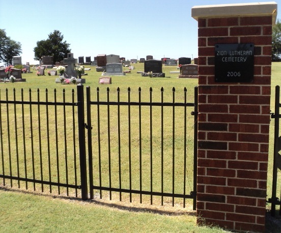
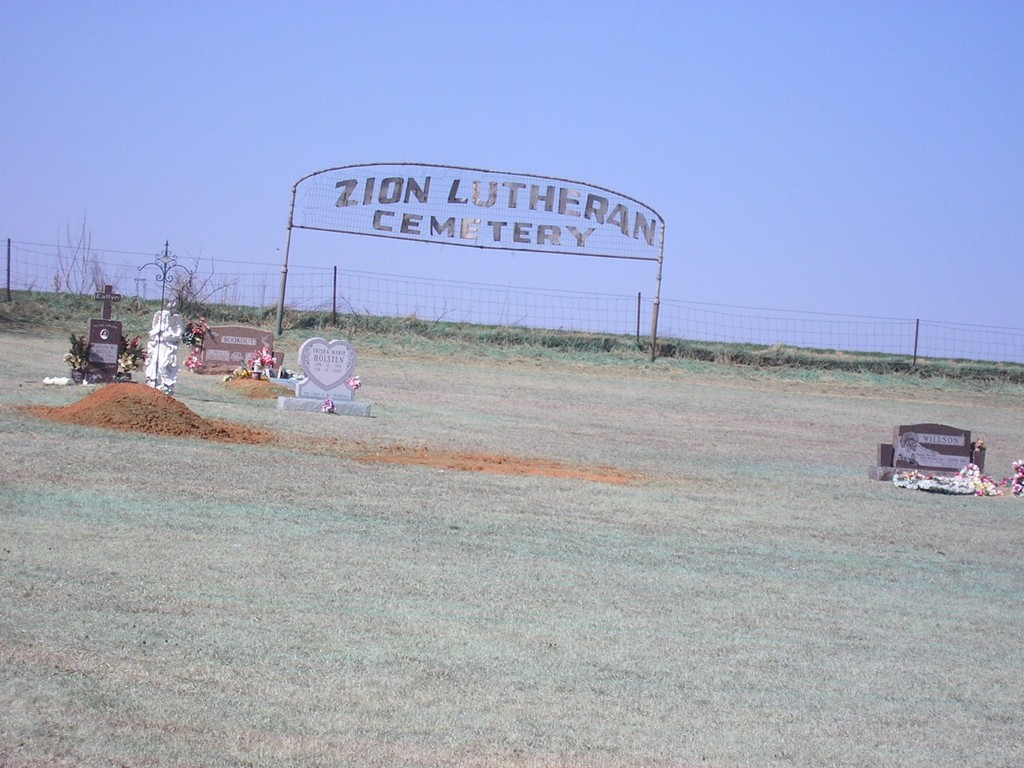
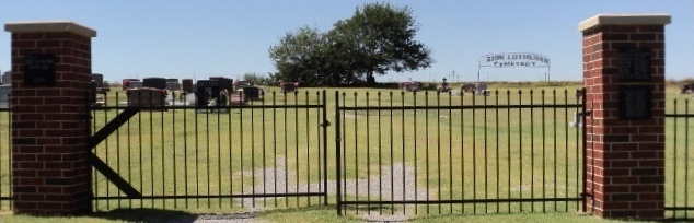
Zion Lutheran Cemetery is located at Lahoma, Garfield County ,Oklahoma ,USA.
-
Zion Lutheran Cemetery cemetery's updated grave count on graveviews.com?
3 memorials
-
Where are the coordinates of the Zion Lutheran Cemetery?
Latitude: 36.4258600
Longitude: -98.0873000
Nearby Cemetories:
1. Lahoma Mennonite Cemetery
Lahoma, Garfield County, USA
Coordinate: 36.4256400, -98.0864800
2. Baumagartner Cemetery
Lahoma, Garfield County, USA
Coordinate: 36.4194700, -98.0779100
3. Trinity Lutheran Cemetery
Enid, Garfield County, USA
Coordinate: 36.4195300, -98.0342500
4. Sunnyside Cemetery
Lahoma, Garfield County, USA
Coordinate: 36.3692017, -98.0500031
5. Saint Michael Cemetery
Goltry, Alfalfa County, USA
Coordinate: 36.4785995, -98.1399994
6. Rose Hill Cemetery
Carrier, Garfield County, USA
Coordinate: 36.4782753, -98.0322952
7. Union Cemetery
Meno, Major County, USA
Coordinate: 36.4452400, -98.1756100
8. New Hopedale Mennonite Memorial Cemetery
Meno, Major County, USA
Coordinate: 36.3932600, -98.1756500
9. Pleasant Hill Cemetery
Meno, Major County, USA
Coordinate: 36.3916800, -98.2027300
10. Boyer Family Cemetery
Goltry, Alfalfa County, USA
Coordinate: 36.5033440, -98.1758660
11. Karoma Cemetery
Goltry, Alfalfa County, USA
Coordinate: 36.5278015, -98.1389008
12. Imo Cemetery
Drummond, Garfield County, USA
Coordinate: 36.3293991, -98.0156021
13. Concord Cemetery
Meno, Major County, USA
Coordinate: 36.3250008, -98.1572037
14. Banner Hill Cemetery
Garfield County, USA
Coordinate: 36.4627500, -97.9425300
15. Era Cemetery
Meno, Major County, USA
Coordinate: 36.3478400, -98.2113300
16. West New Hopedale Cemetery
Ringwood, Major County, USA
Coordinate: 36.4484700, -98.2482400
17. Good Hope Cemetery
Helena, Alfalfa County, USA
Coordinate: 36.5078011, -98.2481003
18. Del Norte Cemetery
Drummond, Garfield County, USA
Coordinate: 36.2742004, -98.0599976
19. Coldwater Cemetery
Hillsdale, Garfield County, USA
Coordinate: 36.5781700, -98.0514400
20. Free Home Cemetery
Ringwood, Major County, USA
Coordinate: 36.4049988, -98.2897034
21. Saint Matthews Episcopal Church Columbarium
Enid, Garfield County, USA
Coordinate: 36.3980590, -97.8847090
22. First United Methodist Church Columbarium
Enid, Garfield County, USA
Coordinate: 36.3976370, -97.8837560
23. Enid Cemetery
Enid, Garfield County, USA
Coordinate: 36.4199295, -97.8803329
24. Calvary Catholic Cemetery
Enid, Garfield County, USA
Coordinate: 36.4200900, -97.8789800