
| Memorials | : | 71 |
| Location | : | Enid, Garfield County, USA |
| Coordinate | : | 36.4199295, -97.8803329 |
frequently asked questions (FAQ):
-
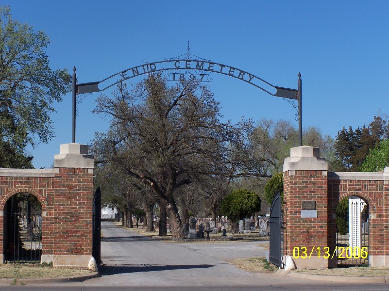
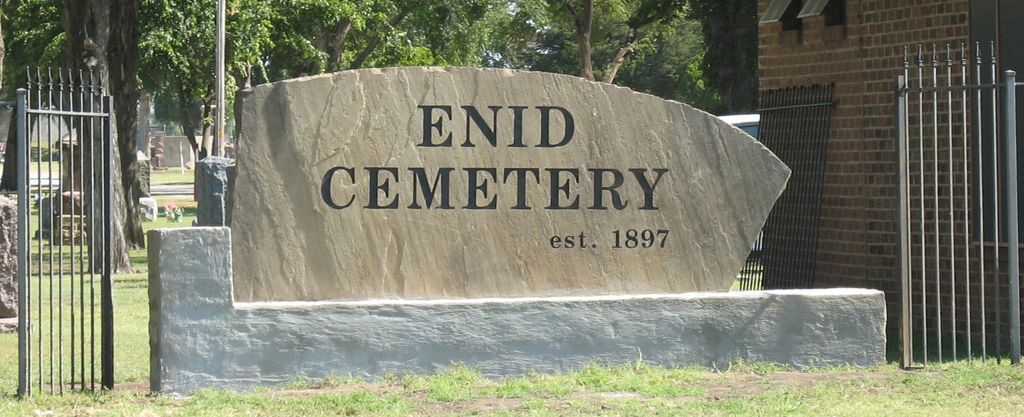
Where is Enid Cemetery?
Enid Cemetery is located at 212 West Willow Road Enid, Garfield County ,Oklahoma , 73701USA.
-
Enid Cemetery cemetery's updated grave count on graveviews.com?
63 memorials
-
Where are the coordinates of the Enid Cemetery?
Latitude: 36.4199295
Longitude: -97.8803329
Nearby Cemetories:
1. Calvary Catholic Cemetery
Enid, Garfield County, USA
Coordinate: 36.4200900, -97.8789800
2. Saint Matthews Episcopal Church Columbarium
Enid, Garfield County, USA
Coordinate: 36.3980590, -97.8847090
3. First United Methodist Church Columbarium
Enid, Garfield County, USA
Coordinate: 36.3976370, -97.8837560
4. Enid State School Cemetery
Enid, Garfield County, USA
Coordinate: 36.4326900, -97.8370800
5. Memorial Park Cemetery
Enid, Garfield County, USA
Coordinate: 36.4585991, -97.8685989
6. Mennonite Brethren Cemetery
Enid, Garfield County, USA
Coordinate: 36.4637900, -97.8605300
7. Banner Hill Cemetery
Garfield County, USA
Coordinate: 36.4627500, -97.9425300
8. Bethany Cemetery
Enid, Garfield County, USA
Coordinate: 36.3619003, -97.8097000
9. Chisholm Trail Burial Park
Enid, Garfield County, USA
Coordinate: 36.4632500, -97.7921900
10. Breckinridge Lutheran Cemetery
Breckinridge, Garfield County, USA
Coordinate: 36.4632988, -97.7474976
11. Trinity Lutheran Cemetery
Enid, Garfield County, USA
Coordinate: 36.4195300, -98.0342500
12. Zion Lutheran Cemetery
Fairmont, Garfield County, USA
Coordinate: 36.3749400, -97.7297400
13. Rose Hill Cemetery
Carrier, Garfield County, USA
Coordinate: 36.4782753, -98.0322952
14. Kremlin Cemetery
Kremlin, Garfield County, USA
Coordinate: 36.5494003, -97.8131027
15. Imo Cemetery
Drummond, Garfield County, USA
Coordinate: 36.3293991, -98.0156021
16. Hackberry Cemetery
Garfield County, USA
Coordinate: 36.2822500, -97.8362700
17. Paradise Cemetery
Breckinridge, Garfield County, USA
Coordinate: 36.4336014, -97.7018967
18. Sunnyside Cemetery
Lahoma, Garfield County, USA
Coordinate: 36.3692017, -98.0500031
19. Collett Cemetery
Fairmont, Garfield County, USA
Coordinate: 36.3683014, -97.7102966
20. Waukomis Cemetery
Waukomis, Garfield County, USA
Coordinate: 36.2710991, -97.9068985
21. Baumagartner Cemetery
Lahoma, Garfield County, USA
Coordinate: 36.4194700, -98.0779100
22. Hillsdale Cemetery
Hillsdale, Garfield County, USA
Coordinate: 36.5652800, -97.9701700
23. Lahoma Mennonite Cemetery
Lahoma, Garfield County, USA
Coordinate: 36.4256400, -98.0864800
24. Zion Lutheran Cemetery
Lahoma, Garfield County, USA
Coordinate: 36.4258600, -98.0873000