
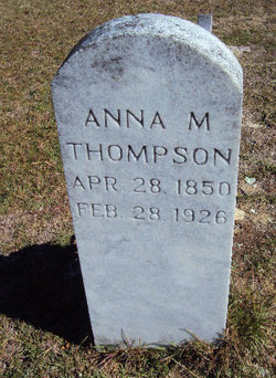

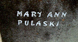
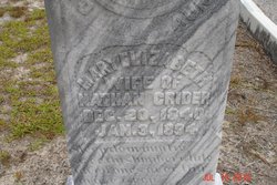
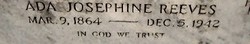
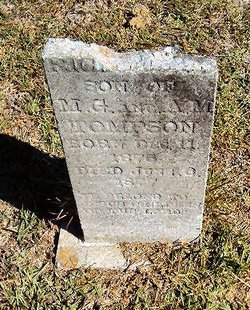
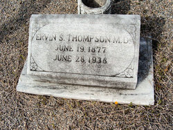
Anna Mary Angeline Pulaski Thompson
| Birth | : | 28 Apr 1850 Barnwell County, South Carolina, USA |
| Death | : | 28 Feb 1926 Orangeburg County, South Carolina, USA |
| Burial | : | Mount Pleasant Cemetery, Athol, Worcester County, USA |
| Coordinate | : | 42.5943985, -72.2433014 |
frequently asked questions (FAQ):
-
Where is Anna Mary Angeline Pulaski Thompson's memorial?
Anna Mary Angeline Pulaski Thompson's memorial is located at: Mount Pleasant Cemetery, Athol, Worcester County, USA.
-
When did Anna Mary Angeline Pulaski Thompson death?
Anna Mary Angeline Pulaski Thompson death on 28 Feb 1926 in Orangeburg County, South Carolina, USA
-
Where are the coordinates of the Anna Mary Angeline Pulaski Thompson's memorial?
Latitude: 42.5943985
Longitude: -72.2433014
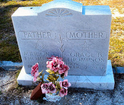
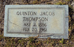
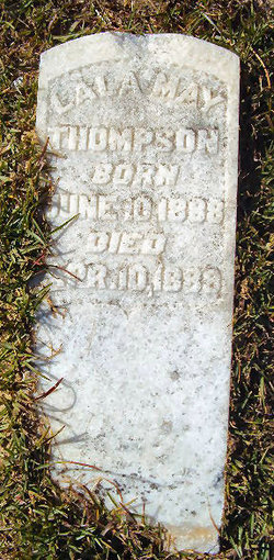
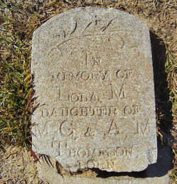
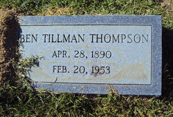
Family Members:
Parent

Spouse
Siblings
Children
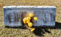
Flowers:


Nearby Cemetories:
1. Mount Pleasant Cemetery
Athol, Worcester County, USA
Coordinate: 42.5943985, -72.2433014
2. Old Burial Ground
Athol, Worcester County, USA
Coordinate: 42.5889840, -72.2270420
3. Silver Lake Cemetery
Athol, Worcester County, USA
Coordinate: 42.6018982, -72.2249985
4. Gethsemane Cemetery
Athol, Worcester County, USA
Coordinate: 42.5791960, -72.2578310
5. Old Pleasant Street Cemetery
Athol, Worcester County, USA
Coordinate: 42.5860800, -72.2145100
6. Highland Cemetery
Athol, Worcester County, USA
Coordinate: 42.5889015, -72.2110977
7. Calvary Cemetery
Athol, Worcester County, USA
Coordinate: 42.5842018, -72.2117004
8. Jones Cemetery
Orange, Franklin County, USA
Coordinate: 42.6148224, -72.2728806
9. Ellinwood Cemetery
Athol, Worcester County, USA
Coordinate: 42.5589400, -72.2142600
10. Chestnut Hill Cemetery
Athol, Worcester County, USA
Coordinate: 42.6296997, -72.2042007
11. Tully Cemetery
Orange, Franklin County, USA
Coordinate: 42.6398000, -72.2504700
12. North Orange Cemetery
Orange, Franklin County, USA
Coordinate: 42.6360230, -72.2690530
13. Central Cemetery
Orange, Franklin County, USA
Coordinate: 42.5932960, -72.3066420
14. Fay Cemetery
Athol, Worcester County, USA
Coordinate: 42.5466300, -72.2364200
15. South Cemetery
Orange, Franklin County, USA
Coordinate: 42.5657880, -72.3043410
16. Adams Road Cemetery
Athol, Worcester County, USA
Coordinate: 42.5425560, -72.2133610
17. Stratton Cemetery
Athol, Worcester County, USA
Coordinate: 42.5407872, -72.2151265
18. New Sherborn Cemetery
Athol, Worcester County, USA
Coordinate: 42.5402985, -72.2166977
19. Maple Cemetery
Royalston, Worcester County, USA
Coordinate: 42.6545520, -72.2235460
20. Branch Bridge Cemetery
New Salem, Franklin County, USA
Coordinate: 42.5337500, -72.2743640
21. Holtshire Cemetery
Orange, Franklin County, USA
Coordinate: 42.5696300, -72.3296100
22. North New Salem Cemetery
New Salem, Franklin County, USA
Coordinate: 42.5467700, -72.3164700
23. Northwest Cemetery
Petersham, Worcester County, USA
Coordinate: 42.5210991, -72.2268982
24. Orange Cemetery
Orange, Franklin County, USA
Coordinate: 42.6003740, -72.3449840