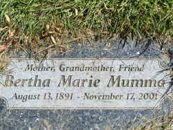
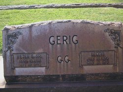
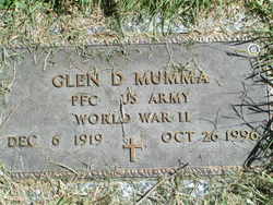
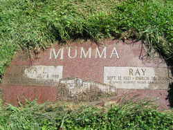
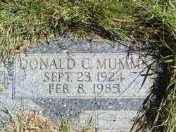
Bertha Marie “Birdie” Gerig Mumma
| Birth | : | 13 Aug 1891 Bieber, Lassen County, California, USA |
| Death | : | 17 Nov 2001 Brewster, Okanogan County, Washington, USA |
| Burial | : | Matamata Cemetery, Matamata, Matamata-Piako District, New Zealand |
| Coordinate | : | -37.8018000, 175.7535440 |
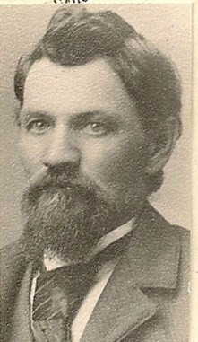
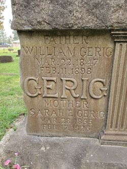
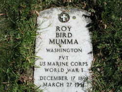
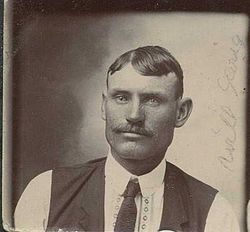
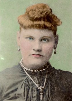
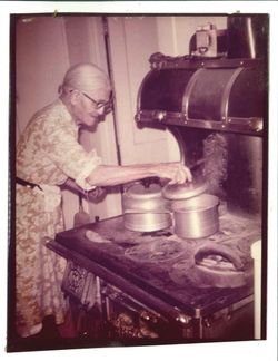
| Description | : | Bertha Marie (Gerig) Mumma passed away on November 17, 2001, three months after celebrating her 110th birthday. Born August 13, 1891, at the home ranch of her parents, William and Sarah Gerig, in Bieber (Big Valley), CA. The ninth of 11 children, she was affectionately known as "Birdie" or "Aunt Birdie" to her sisters, brothers and their families. Married to Roy B. Mumma in 1919, they made their first home in Brewster, Wash., where she continued to live until her death. She was mother to sons Glen, Ray and Don, and a daughter who died at birth. She also adopted... Read More |
frequently asked questions (FAQ):
-
Where is Bertha Marie “Birdie” Gerig Mumma's memorial?
Bertha Marie “Birdie” Gerig Mumma's memorial is located at: Matamata Cemetery, Matamata, Matamata-Piako District, New Zealand.
-
When did Bertha Marie “Birdie” Gerig Mumma death?
Bertha Marie “Birdie” Gerig Mumma death on 17 Nov 2001 in Brewster, Okanogan County, Washington, USA
-
Where are the coordinates of the Bertha Marie “Birdie” Gerig Mumma's memorial?
Latitude: -37.8018000
Longitude: 175.7535440
Family Members:
Parent
Spouse
Siblings
Children
Flowers:
Nearby Cemetories:
1. Matamata Cemetery
Matamata, Matamata-Piako District, New Zealand
Coordinate: -37.8018000, 175.7535440
2. Waharoa Cemetery
Waharoa, Matamata-Piako District, New Zealand
Coordinate: -37.7486230, 175.7444230
3. Waharoa Māori Cemetery
Waharoa, Matamata-Piako District, New Zealand
Coordinate: -37.7473890, 175.7434760
4. Okauia Māori Cemetery
Okauia, Matamata-Piako District, New Zealand
Coordinate: -37.8015800, 175.8726300
5. Toatoaroa Urupā
Matamata, Matamata-Piako District, New Zealand
Coordinate: -37.9017870, 175.6996060
6. Kaimai Flight 441 Air Crash Memorial
Gordon, Matamata-Piako District, New Zealand
Coordinate: -37.6960470, 175.8260440
7. Tirau Cemetery
Tirau, South Waikato District, New Zealand
Coordinate: -37.9622060, 175.7796770
8. Rukumoana Urupā
Matamata, Matamata-Piako District, New Zealand
Coordinate: -37.6976740, 175.5572500
9. Morrinsville Old Cemetery
Morrinsville, Matamata-Piako District, New Zealand
Coordinate: -37.6531500, 175.5374260
10. Piako Cemetery
Morrinsville, Matamata-Piako District, New Zealand
Coordinate: -37.6484900, 175.5412240
11. Leamington Cemetery
Leamington, Waipa District, New Zealand
Coordinate: -37.9048020, 175.4868830
12. Tirau Sreet Cemetery
Putaruru, South Waikato District, New Zealand
Coordinate: -38.0431570, 175.7834490
13. Hautapu Cemetery
Hautapu, Waipa District, New Zealand
Coordinate: -37.8635550, 175.4547250
14. Te Aroha Cemetery
Te Aroha, Matamata-Piako District, New Zealand
Coordinate: -37.5561450, 175.7109550
15. Katikati Cemetery
Katikati, Western Bay of Plenty District, New Zealand
Coordinate: -37.5824500, 175.9061600
16. Domain Road Cemetery
Putaruru, South Waikato District, New Zealand
Coordinate: -38.0603810, 175.7952220
17. Te-Iti-O-Haua-Marae Urupā
Tauwhare, Waikato District, New Zealand
Coordinate: -37.7860000, 175.4208010
18. Pukerimu Cemetery
Cambridge, Waipa District, New Zealand
Coordinate: -37.9048160, 175.4297140
19. Pyes Pa Memorial Park
Tauranga, Tauranga City, New Zealand
Coordinate: -37.7689800, 176.1162770
20. Kutaroa Urupā
Tauranga City, New Zealand
Coordinate: -37.6186690, 176.0719430
21. St. Stephen's Cemetery
Tamahere, Waikato District, New Zealand
Coordinate: -37.8302500, 175.3575900
22. Pukeatua Cemetery
Te Awamutu, Waipa District, New Zealand
Coordinate: -38.0732500, 175.5530120
23. Hamilton Park Cemetery
Hamilton, Hamilton City, New Zealand
Coordinate: -37.7768210, 175.3562990
24. St. Joseph's Church Urupa
Tauranga, Tauranga City, New Zealand
Coordinate: -37.6077515, 176.0759161

