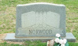
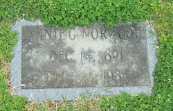
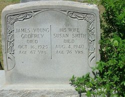
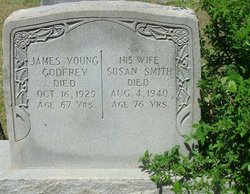
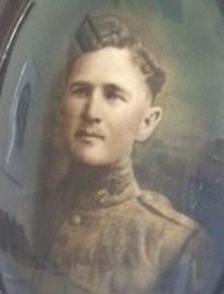
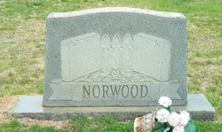
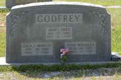
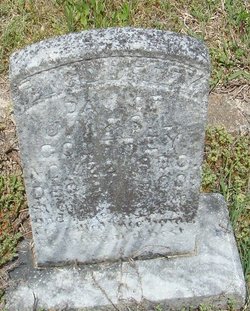
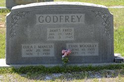
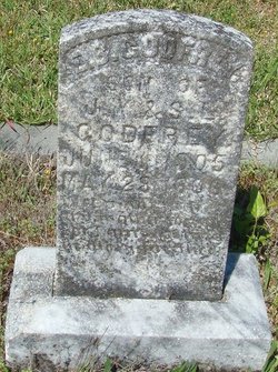
Carrie Ann “Annie” Godfrey Norwood
| Birth | : | 14 Dec 1891 Union County, North Carolina, USA |
| Death | : | 14 Dec 1985 Waxhaw, Union County, North Carolina, USA |
| Burial | : | Walkersville Presbyterian Church Cemetery, Union County, USA |
| Coordinate | : | 34.8681488, -80.6915665 |
frequently asked questions (FAQ):
-
Where is Carrie Ann “Annie” Godfrey Norwood's memorial?
Carrie Ann “Annie” Godfrey Norwood's memorial is located at: Walkersville Presbyterian Church Cemetery, Union County, USA.
-
When did Carrie Ann “Annie” Godfrey Norwood death?
Carrie Ann “Annie” Godfrey Norwood death on 14 Dec 1985 in Waxhaw, Union County, North Carolina, USA
-
Where are the coordinates of the Carrie Ann “Annie” Godfrey Norwood's memorial?
Latitude: 34.8681488
Longitude: -80.6915665
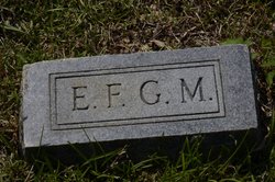
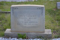
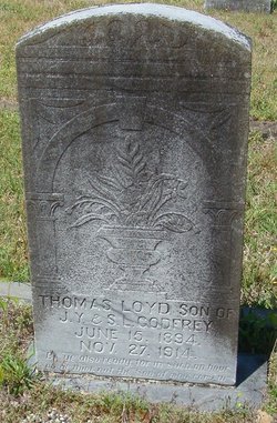
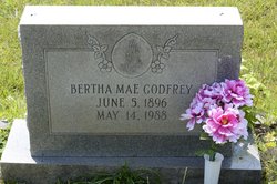
Family Members:
Parent
Spouse
Siblings
Flowers:
Nearby Cemetories:
1. Walkersville Presbyterian Church Cemetery
Union County, USA
Coordinate: 34.8681488, -80.6915665
2. McWhorter Family Cemetery
Jackson, Union County, USA
Coordinate: 34.8828011, -80.6800003
3. Mary Elizabeth Baptist Church Cemetery
Union County, USA
Coordinate: 34.8595581, -80.6637268
4. Walker Cemetery
Union County, USA
Coordinate: 34.9011002, -80.6821976
5. Ebenezer AME Zion Church Cemetery
Waxhaw, Union County, USA
Coordinate: 34.8974680, -80.7207480
6. JAARS Center
Waxhaw, Union County, USA
Coordinate: 34.8645660, -80.7417470
7. Bethlehem United Methodist Church Cemetery
Waxhaw, Union County, USA
Coordinate: 34.8800583, -80.6392288
8. Waxhaw Baptist Church Cemetery
Waxhaw, Union County, USA
Coordinate: 34.9039001, -80.7251205
9. Bethel Church Cemetery
Waxhaw, Union County, USA
Coordinate: 34.8374710, -80.7375310
10. Piney Grove Baptist Church West Cemetery
Waxhaw, Union County, USA
Coordinate: 34.9061356, -80.7312622
11. Tirzah Presbyterian Church Cemetery
Waxhaw, Union County, USA
Coordinate: 34.8310585, -80.7402496
12. Unity ARP Church Cemetery
Lancaster County, USA
Coordinate: 34.8124530, -80.6967930
13. Thompson Chapel AME Zion Church Cemetery
Mineral Springs, Union County, USA
Coordinate: 34.9279351, -80.6880677
14. Rehobeth Presbyterian Church Cemetery
Union County, USA
Coordinate: 34.8881645, -80.7605209
15. Waxhaw City Cemetery
Waxhaw, Union County, USA
Coordinate: 34.9182816, -80.7384415
16. Pleasant Plain Missionary Baptist Church Cemetery
Lancaster, Lancaster County, USA
Coordinate: 34.8108800, -80.6560400
17. Prospect United Methodist Church Cemetery
Monroe, Union County, USA
Coordinate: 34.8573265, -80.6093750
18. Eastside Community Cemetery
Waxhaw, Union County, USA
Coordinate: 34.9281883, -80.7384415
19. Mineral Springs United Methodist Church Cemetery
Union County, USA
Coordinate: 34.9376678, -80.6666870
20. Bethel United Methodist Church Cemetery
Camp Creek, Lancaster County, USA
Coordinate: 34.8099220, -80.6386640
21. New Bethel Cemetery
Lancaster County, USA
Coordinate: 34.8097000, -80.6389008
22. Turner Presbyterian Church Cemetery
Monroe, Union County, USA
Coordinate: 34.9075508, -80.6141586
23. Heath Memorial United Methodist Church Cemetery
Union County, USA
Coordinate: 34.8889046, -80.7834396
24. Mount Nebo AME Zion Church
Lancaster, Lancaster County, USA
Coordinate: 34.7905820, -80.7134230

