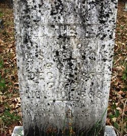
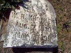
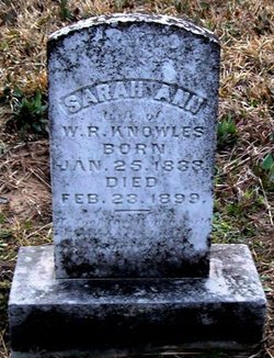
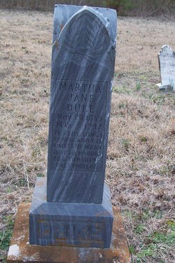
Catharine L. “Katie” Knowles Nelson
| Birth | : | 15 Dec 1855 Union County, Arkansas, USA |
| Death | : | 10 Nov 1883 Union County, Arkansas, USA |
| Burial | : | Forest Hill Cemetery, Aurelle, Union County, USA |
| Coordinate | : | 33.0619011, -92.3771973 |
frequently asked questions (FAQ):
-
Where is Catharine L. “Katie” Knowles Nelson's memorial?
Catharine L. “Katie” Knowles Nelson's memorial is located at: Forest Hill Cemetery, Aurelle, Union County, USA.
-
When did Catharine L. “Katie” Knowles Nelson death?
Catharine L. “Katie” Knowles Nelson death on 10 Nov 1883 in Union County, Arkansas, USA
-
Where are the coordinates of the Catharine L. “Katie” Knowles Nelson's memorial?
Latitude: 33.0619011
Longitude: -92.3771973
Family Members:
Parent
Spouse
Siblings
Children
Nearby Cemetories:
1. Forest Hill Cemetery
Aurelle, Union County, USA
Coordinate: 33.0619011, -92.3771973
2. Hughes Cemetery
Strong, Union County, USA
Coordinate: 33.0777500, -92.3722000
3. Free Hope Cemetery
Aurelle, Union County, USA
Coordinate: 33.0390500, -92.3907000
4. Pine Grove Cemetery
Strong, Union County, USA
Coordinate: 33.0802000, -92.4035200
5. Sweet Home Cemetery
Strong, Union County, USA
Coordinate: 33.0572400, -92.3387000
6. Pratt-Dobbs Cemetery
Strong, Union County, USA
Coordinate: 33.0856800, -92.3494500
7. Strong Cemetery
Strong, Union County, USA
Coordinate: 33.0964012, -92.3589020
8. Pilgrims Rest Cemetery
Strong, Union County, USA
Coordinate: 33.1028000, -92.3740000
9. Teel Cemetery
Strong, Union County, USA
Coordinate: 33.0760000, -92.3172000
10. Good Hope Primitive Baptist Church Cemetery
Strong, Union County, USA
Coordinate: 33.0129000, -92.3448000
11. Cane Creek Cemetery
Strong, Union County, USA
Coordinate: 33.0783005, -92.4424973
12. Springhill African American Cemetery
Oakland, Union Parish, USA
Coordinate: 33.0052940, -92.3658390
13. Spring Hill Cemetery
Union Parish, USA
Coordinate: 33.0050011, -92.3653030
14. Pleasant Grove Cemetery
Strong, Union County, USA
Coordinate: 33.1159500, -92.4466700
15. Center Point Cemetery
Strong, Union County, USA
Coordinate: 33.1307983, -92.4266968
16. Knowles Cemetery
Sandy Bend, Union County, USA
Coordinate: 33.1389400, -92.4080400
17. Pleasant Hill Cemetery
Strong, Union County, USA
Coordinate: 33.0389000, -92.4739000
18. Gill Cemetery
Strong, Union County, USA
Coordinate: 33.1408000, -92.3392000
19. Norris Cemetery
Strong, Union County, USA
Coordinate: 33.1482500, -92.3709500
20. Green Canterberry Cemetery
Union Parish, USA
Coordinate: 32.9739950, -92.3880570
21. Batts Chapel Cemetery
Huttig, Union County, USA
Coordinate: 33.0722008, -92.2632980
22. County Line Cemetery
Spearsville, Union Parish, USA
Coordinate: 32.9828950, -92.4491680
23. Crestview Cemetery
Farmerville, Union Parish, USA
Coordinate: 32.9828950, -92.4491680
24. Urbana Cemetery
Urbana, Union County, USA
Coordinate: 33.1505800, -92.4483800

