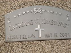
Catherine Gertrude Zouha Grabowski
| Birth | : | 21 Mar 1912 Genoa, Nance County, Nebraska, USA |
| Death | : | 19 May 2004 Omaha, Douglas County, Nebraska, USA |
| Burial | : | All Saints Churchyard, Headley, East Hampshire District, England |
| Coordinate | : | 51.1198680, -0.8270090 |
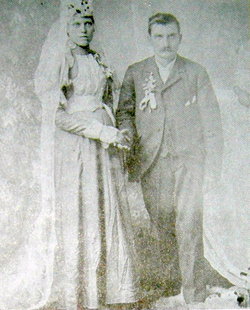
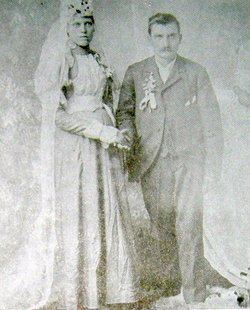
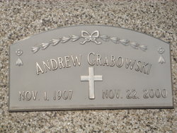
| Description | : | Daughter of John & Anastasia (Lassek) Zouha/Zauha. Married to Andrew Grabowski. |
frequently asked questions (FAQ):
-
Where is Catherine Gertrude Zouha Grabowski's memorial?
Catherine Gertrude Zouha Grabowski's memorial is located at: All Saints Churchyard, Headley, East Hampshire District, England.
-
When did Catherine Gertrude Zouha Grabowski death?
Catherine Gertrude Zouha Grabowski death on 19 May 2004 in Omaha, Douglas County, Nebraska, USA
-
Where are the coordinates of the Catherine Gertrude Zouha Grabowski's memorial?
Latitude: 51.1198680
Longitude: -0.8270090
Family Members:
Parent
Spouse
Siblings
Flowers:
Nearby Cemetories:
1. All Saints Churchyard
Headley, East Hampshire District, England
Coordinate: 51.1198680, -0.8270090
2. Whitehill Cemetery
Whitehill, East Hampshire District, England
Coordinate: 51.1110500, -0.8425800
3. Heatherley Wood Natural Burial Site
Grayshott, East Hampshire District, England
Coordinate: 51.1175800, -0.7879900
4. Bordon Military Cemetery
Bordon, East Hampshire District, England
Coordinate: 51.1201668, -0.8753040
5. St Mary the Virgin Churchyard
Bramshott, East Hampshire District, England
Coordinate: 51.0891410, -0.7982870
6. St. Joseph's Churchyard
Grayshott, East Hampshire District, England
Coordinate: 51.1109700, -0.7657200
7. St Nicholas Chapel and Cemetery
Kingsley, East Hampshire District, England
Coordinate: 51.1344300, -0.8886500
8. St Matthew Churchyard
Blackmoor, East Hampshire District, England
Coordinate: 51.0960560, -0.8869250
9. Blackmoor War Memorial
Blackmoor, East Hampshire District, England
Coordinate: 51.0962620, -0.8873910
10. St Luke's Churchyard
Grayshott, East Hampshire District, England
Coordinate: 51.1110060, -0.7551490
11. St. Mary the Virgin Churchyard
Frensham, Waverley Borough, England
Coordinate: 51.1659700, -0.7973890
12. St Alban's Churchyard
Hindhead, Waverley Borough, England
Coordinate: 51.1240400, -0.7440300
13. Sunvale Cemetery
Haslemere, Waverley Borough, England
Coordinate: 51.0871100, -0.7513700
14. Lynchmere Burial Ground
Linchmere, Chichester District, England
Coordinate: 51.0832644, -0.7513318
15. St James Churchyard
Rowledge, Waverley Borough, England
Coordinate: 51.1811200, -0.8275700
16. Holy Cross Churchyard
Binsted, East Hampshire District, England
Coordinate: 51.1625300, -0.8981650
17. St Mary the Virgin Churchyard
East Worldham, East Hampshire District, England
Coordinate: 51.1375000, -0.9285000
18. St John the Baptist Churchyard
Greatham, East Hampshire District, England
Coordinate: 51.0678810, -0.8973600
19. St Leonard Churchyard
Hartley Mauditt, East Hampshire District, England
Coordinate: 51.1195300, -0.9398600
20. St Luke Churchyard
Milland, Chichester District, England
Coordinate: 51.0476460, -0.8243960
21. St Nicholas Churchyard
West Worldham, East Hampshire District, England
Coordinate: 51.1275100, -0.9420600
22. Saint Bartholmew's Churchyard
Haslemere, Waverley Borough, England
Coordinate: 51.0915420, -0.7161500
23. St Mary Churchyard
Selborne, East Hampshire District, England
Coordinate: 51.0985300, -0.9428850
24. Holy Rood Churchyard
Empshott, East Hampshire District, England
Coordinate: 51.0755690, -0.9257970

