
| Memorials | : | 0 |
| Location | : | Milland, Chichester District, England |
| Coordinate | : | 51.0476460, -0.8243960 |
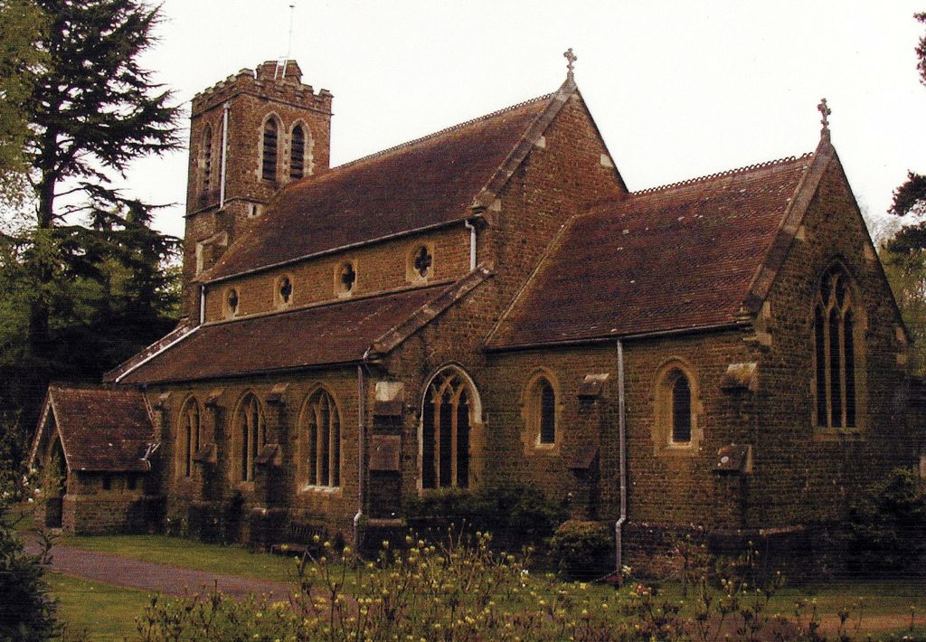
| Description | : | From Wikipedia. Milland is a village and civil parish in the Chichester district of West Sussex, England. It is situated north of the A272 road on the border with Hampshire. The parish has an Anglican church, St. Luke's, the independent Milland Evangelical Church (MEC) and the disused Tuxlith Chapel which is in the care of a national charity the Friends of Friendless Churches. |
frequently asked questions (FAQ):
-
Where is St Luke Churchyard?
St Luke Churchyard is located at Milland, Chichester District ,West Sussex ,England.
-
St Luke Churchyard cemetery's updated grave count on graveviews.com?
0 memorials
-
Where are the coordinates of the St Luke Churchyard?
Latitude: 51.0476460
Longitude: -0.8243960
Nearby Cemetories:
1. St. Luke's Churchyard
Linch, Chichester District, England
Coordinate: 51.0404840, -0.7720810
2. St. Bartholomew's Churchyard
Rogate, Chichester District, England
Coordinate: 51.0079500, -0.8503200
3. Dureford Abbey
Rogate, Chichester District, England
Coordinate: 51.0080000, -0.8510000
4. St Peters Churchyard Terwick
Rogate, Chichester District, England
Coordinate: 51.0051950, -0.8357230
5. St Mary the Virgin Churchyard
Bramshott, East Hampshire District, England
Coordinate: 51.0891410, -0.7982870
6. St Mary Churchyard
Liss, East Hampshire District, England
Coordinate: 51.0453200, -0.8953100
7. St. Mary's Churchyard
Chithurst, Chichester District, England
Coordinate: 51.0010121, -0.8007006
8. St. Peter's Churchyard
Liss, East Hampshire District, England
Coordinate: 51.0521900, -0.9021700
9. West Liss Cemetery
Liss, East Hampshire District, England
Coordinate: 51.0518102, -0.9022678
10. St John the Baptist Churchyard
Greatham, East Hampshire District, England
Coordinate: 51.0678810, -0.8973600
11. St. George's Churchyard
Trotton, Chichester District, England
Coordinate: 50.9958840, -0.8096410
12. St. Mary's Churchyard
Iping, Chichester District, England
Coordinate: 51.0000351, -0.7865786
13. Lynchmere Burial Ground
Linchmere, Chichester District, England
Coordinate: 51.0832644, -0.7513318
14. Sunvale Cemetery
Haslemere, Waverley Borough, England
Coordinate: 51.0871100, -0.7513700
15. St. James Churchyard
Stedham, Chichester District, England
Coordinate: 50.9962590, -0.7703560
16. St Matthew Churchyard
Blackmoor, East Hampshire District, England
Coordinate: 51.0960560, -0.8869250
17. Blackmoor War Memorial
Blackmoor, East Hampshire District, England
Coordinate: 51.0962620, -0.8873910
18. Fernhurst Burial Ground
Fernhurst, Chichester District, England
Coordinate: 51.0486080, -0.7220610
19. Whitehill Cemetery
Whitehill, East Hampshire District, England
Coordinate: 51.1110500, -0.8425800
20. Holy Rood Churchyard
Empshott, East Hampshire District, England
Coordinate: 51.0755690, -0.9257970
21. St. Peter and St. Paul's Churchyard
Hawkley, East Hampshire District, England
Coordinate: 51.0569000, -0.9374400
22. All Saints Churchyard
Headley, East Hampshire District, England
Coordinate: 51.1198680, -0.8270090
23. St. Joseph's Churchyard
Grayshott, East Hampshire District, England
Coordinate: 51.1109700, -0.7657200
24. Heatherley Wood Natural Burial Site
Grayshott, East Hampshire District, England
Coordinate: 51.1175800, -0.7879900