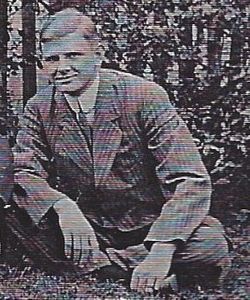
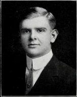
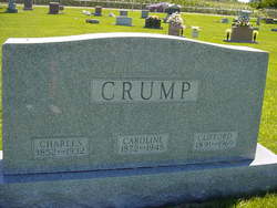
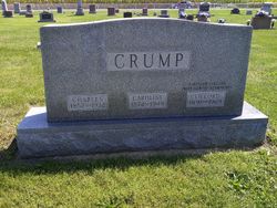
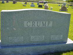
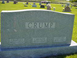
Clifford Charles Crump
| Birth | : | 11 Oct 1891 |
| Death | : | 1 Oct 1969 |
| Burial | : | Santa Cruz Memorial Park, Santa Cruz, Santa Cruz County, USA |
| Coordinate | : | 36.9904976, -122.0282974 |
| Plot | : | 097 S 1/2 |
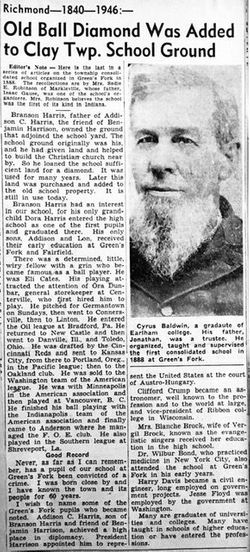
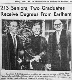
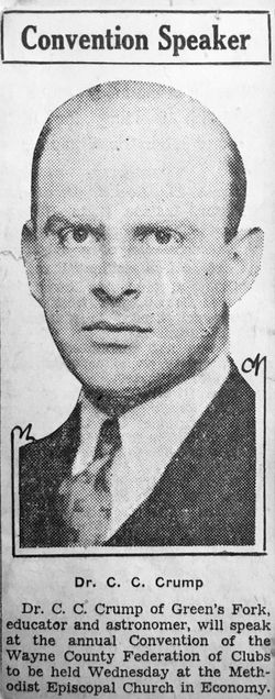
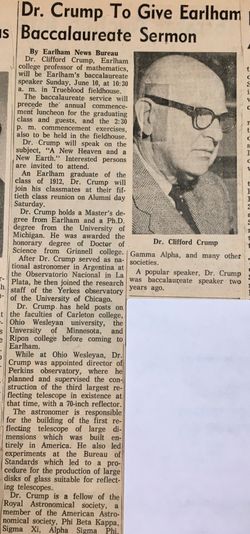
| Description | : | FUNERAL SET IN INDIANA FOR DOCTOR Dr. Clifford Crump died Thursday at Greenfork, Ind. Dr. Crump retired from Ripon College in 1957 after 20 years as chairman of the mathematics department. He received his B.S. from Earlham College where he taught after his retirement. He is remembered by friends at Ripon for his special interest in astronomy, having received his doctorate from the University of Michigan in that discipline. His participation in the development of early observatories was noteworthy, especially the installation of the Perkins Observatory at Wesleyan and the Yerkes Observatory at Williams Bay. His specifications for the 40 inch Perkins reflector was a... Read More |
frequently asked questions (FAQ):
-
Where is Clifford Charles Crump's memorial?
Clifford Charles Crump's memorial is located at: Santa Cruz Memorial Park, Santa Cruz, Santa Cruz County, USA.
-
When did Clifford Charles Crump death?
Clifford Charles Crump death on 1 Oct 1969 in
-
Where are the coordinates of the Clifford Charles Crump's memorial?
Latitude: 36.9904976
Longitude: -122.0282974
Family Members:
Parent
Flowers:
Nearby Cemetories:
1. Santa Cruz Memorial Park
Santa Cruz, Santa Cruz County, USA
Coordinate: 36.9904976, -122.0282974
2. Santa Cruz Mausoleum
Santa Cruz, Santa Cruz County, USA
Coordinate: 36.9901596, -122.0273068
3. Evergreen Cemetery
Santa Cruz, Santa Cruz County, USA
Coordinate: 36.9813805, -122.0350723
4. Mission Santa Cruz Cemetery
Santa Cruz, Santa Cruz County, USA
Coordinate: 36.9779390, -122.0294940
5. Calvary Episcopal Church Gravesite
Santa Cruz, Santa Cruz County, USA
Coordinate: 36.9721462, -122.0276762
6. Pine Knoll Pet Cemetery
Scotts Valley, Santa Cruz County, USA
Coordinate: 37.0149800, -122.0293500
7. Home of Peace Cemetery
Santa Cruz, Santa Cruz County, USA
Coordinate: 36.9746666, -122.0564041
8. Old Holy Cross Cemetery
Santa Cruz, Santa Cruz County, USA
Coordinate: 36.9820900, -121.9933243
9. Holy Cross Cemetery
Santa Cruz, Santa Cruz County, USA
Coordinate: 36.9826431, -121.9897537
10. Oakwood Memorial Park
Santa Cruz, Santa Cruz County, USA
Coordinate: 36.9904709, -121.9850159
11. Soquel Cemetery
Soquel, Santa Cruz County, USA
Coordinate: 36.9961624, -121.9562912
12. Beit Olam Cemetery
Soquel, Santa Cruz County, USA
Coordinate: 36.9967700, -121.9557300
13. Felton Cemetery
Felton, Santa Cruz County, USA
Coordinate: 37.0514526, -122.0795975
14. Land of Medicine Buddha Stupa
Soquel, Santa Cruz County, USA
Coordinate: 37.0125950, -121.9336400
15. Our Lady of Mount Carmel Cemetery
Aptos, Santa Cruz County, USA
Coordinate: 36.9806366, -121.9095993
16. Martin Family Burial Ground
Glenwood, Santa Cruz County, USA
Coordinate: 37.1083870, -121.9868690
17. Christ Lutheran Church Columbarium
Aptos, Santa Cruz County, USA
Coordinate: 36.9700550, -121.8704370
18. Day Valley Cemetery
Aptos, Santa Cruz County, USA
Coordinate: 36.9974050, -121.8503360
19. Boulder Creek IOOF Cemetery
Boulder Creek, Santa Cruz County, USA
Coordinate: 37.1216927, -122.1264038
20. Saint Josephs Monastery Cemetery
Aptos, Santa Cruz County, USA
Coordinate: 36.9947200, -121.8361700
21. Hebbard Cemetery
Los Gatos, Santa Clara County, USA
Coordinate: 37.1727340, -121.9925710
22. Rundell Cemetery
Los Gatos, Santa Clara County, USA
Coordinate: 37.1872545, -121.9954677
23. Watsonville Catholic Cemetery
Watsonville, Santa Cruz County, USA
Coordinate: 36.9278564, -121.7658463
24. Grateful Mountain Cemetery
Santa Cruz, Santa Cruz County, USA
Coordinate: 37.0965160, -122.2682150

