
| Memorials | : | 557 |
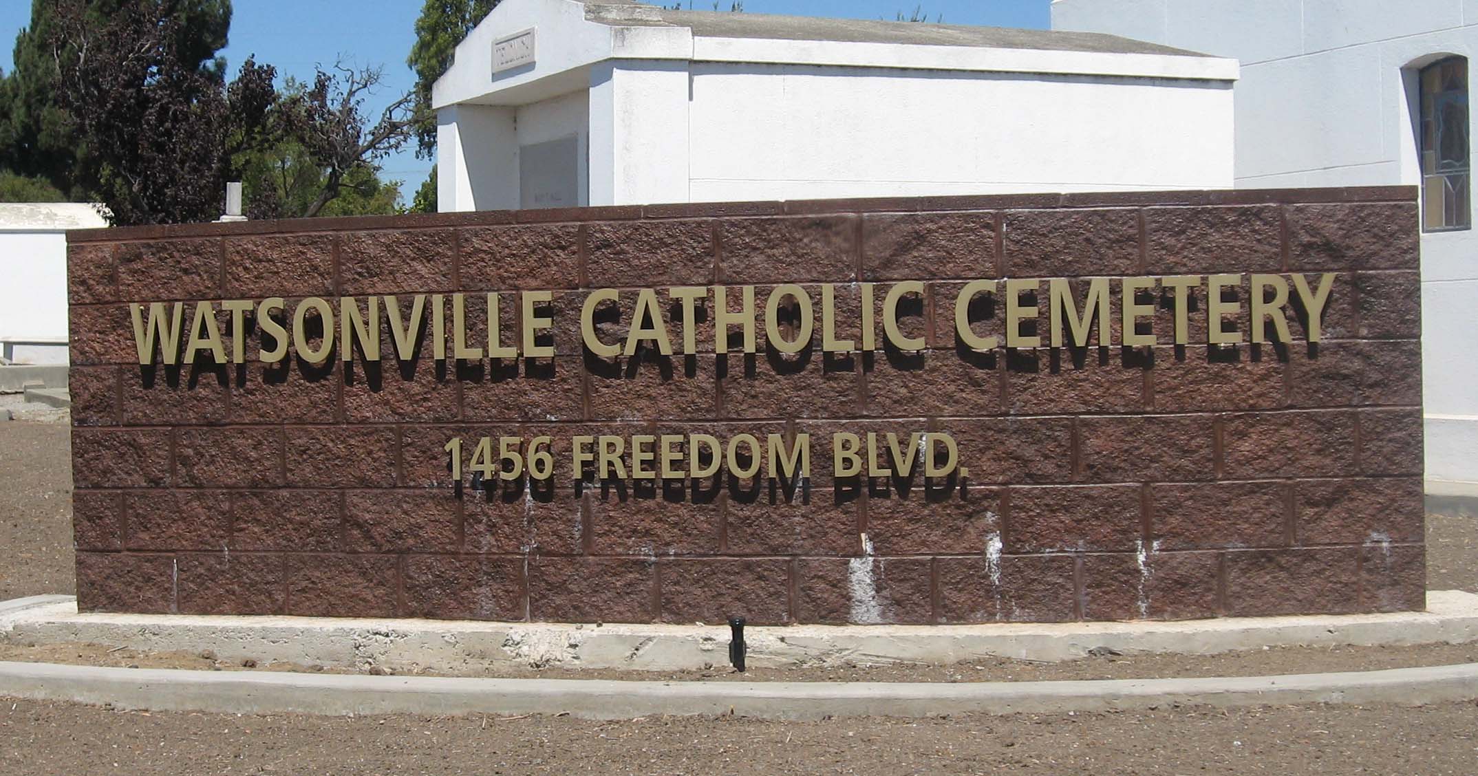
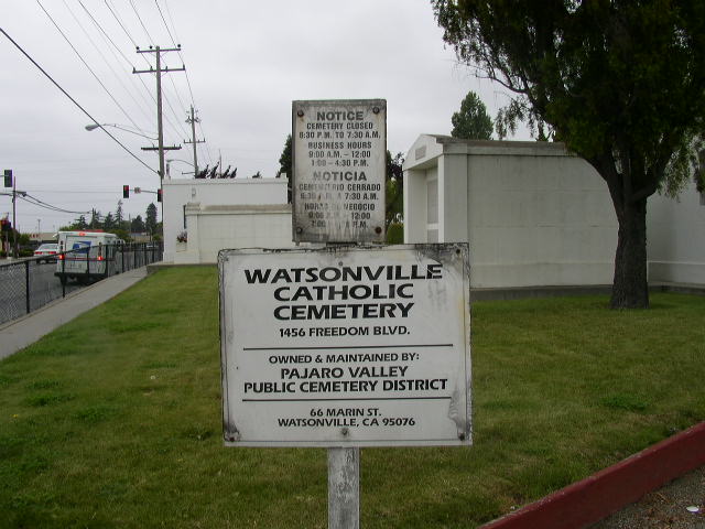
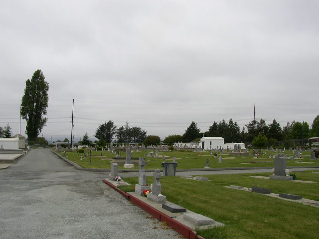
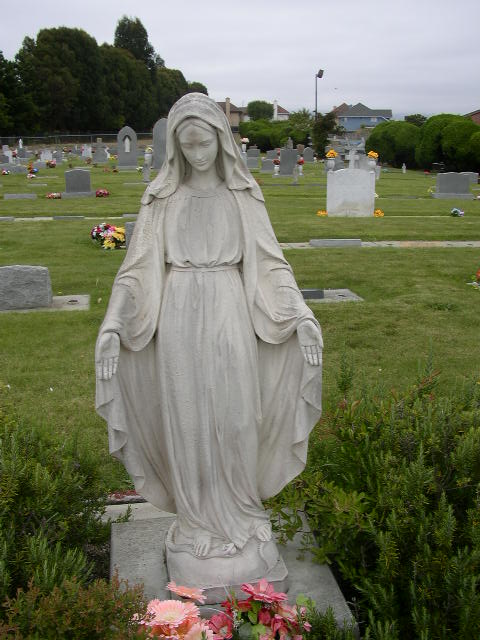
| Location | : | Watsonville, Santa Cruz County, USA |
| Coordinate | : | 36.9278564, -121.7658463 |
| Description | : | Owned and maintained by: Pajaro Valley Public Cemetery District 66 Marin Street Watsonville , CA 95076 (831) 722-0310 |
frequently asked questions (FAQ):
-
Where is Watsonville Catholic Cemetery?
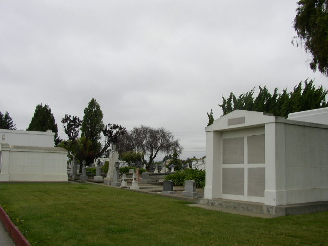
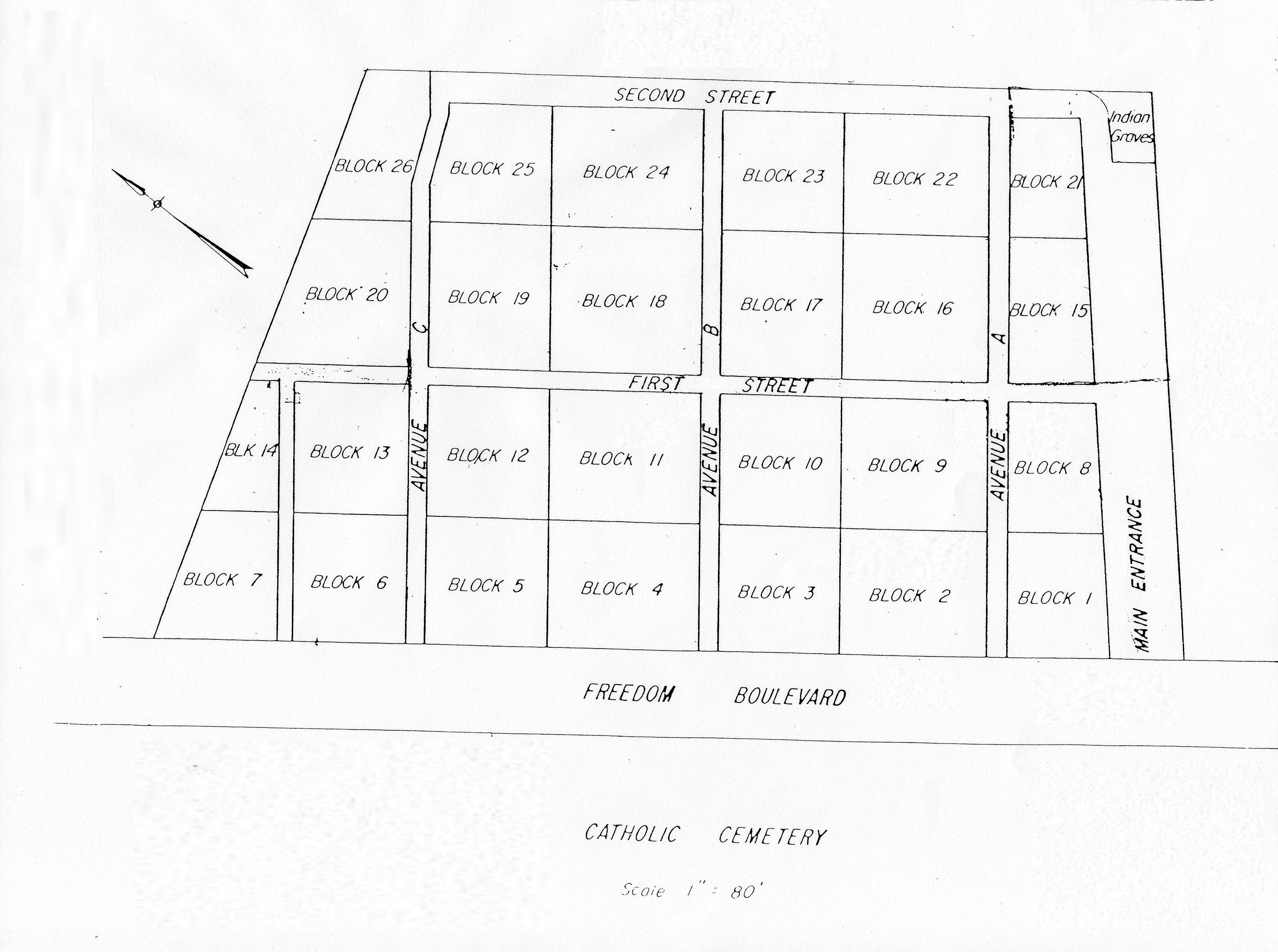
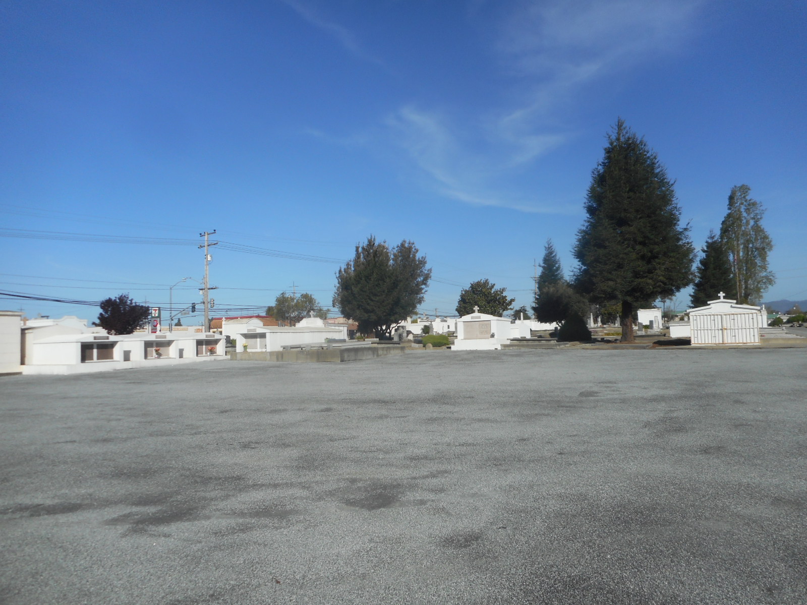
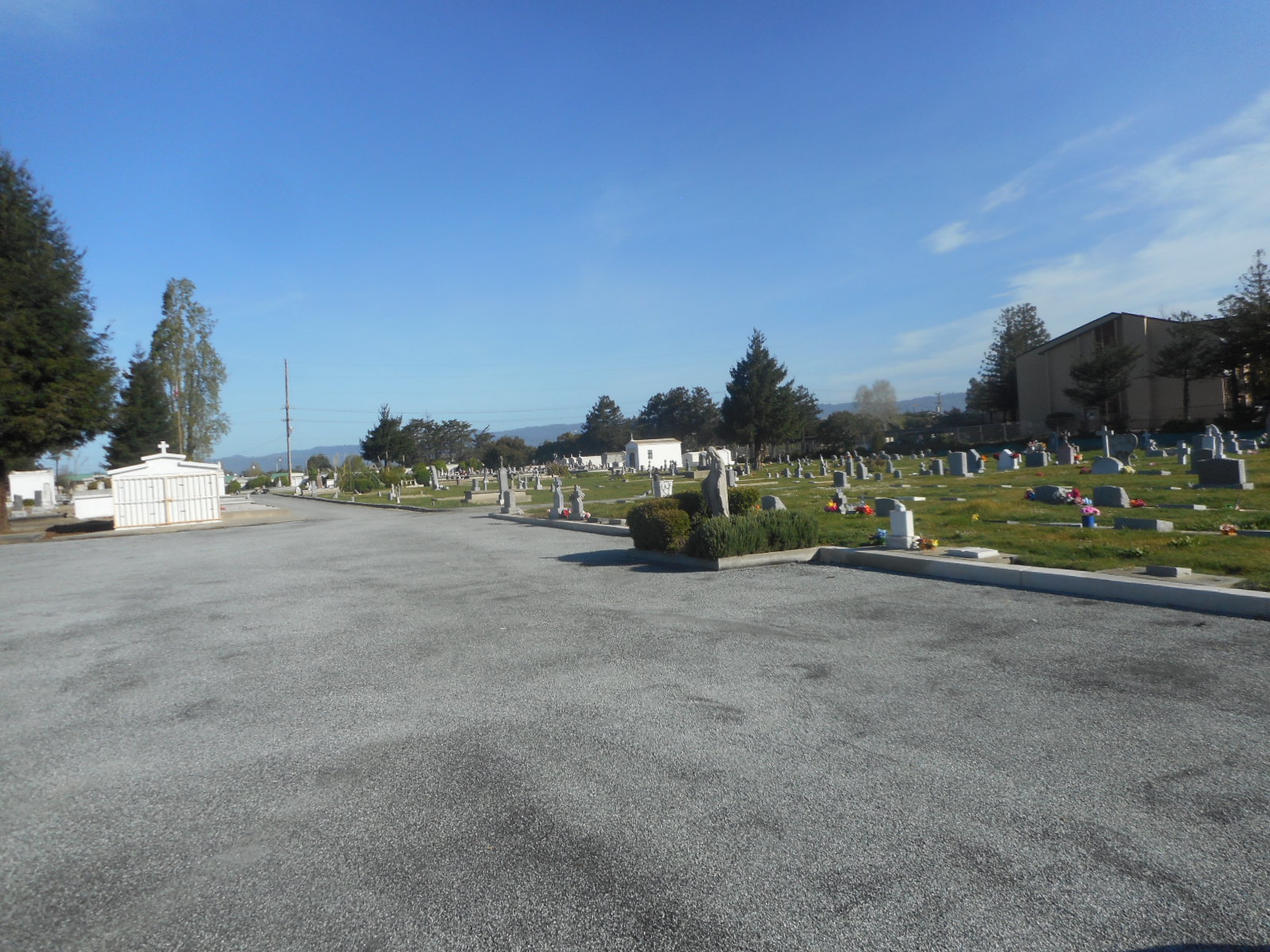
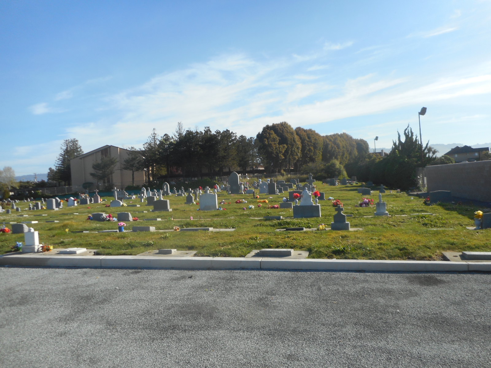
Watsonville Catholic Cemetery is located at 1456 Freedom Boulevard Watsonville, Santa Cruz County ,California , 95076USA.
-
Watsonville Catholic Cemetery cemetery's updated grave count on graveviews.com?
0 memorials
-
Where are the coordinates of the Watsonville Catholic Cemetery?
Latitude: 36.9278564
Longitude: -121.7658463
Nearby Cemetories:
1. Pioneer Cemetery
Watsonville, Santa Cruz County, USA
Coordinate: 36.9258560, -121.7642790
2. All Saints Episcopal Church Memorial Garden
Watsonville, Santa Cruz County, USA
Coordinate: 36.9102310, -121.7568950
3. Valley Catholic Cemetery
Watsonville, Santa Cruz County, USA
Coordinate: 36.9415932, -121.7405777
4. Valley Public Cemetery
Watsonville, Santa Cruz County, USA
Coordinate: 36.9418983, -121.7400513
5. Pajaro Valley Memorial Park
Watsonville, Santa Cruz County, USA
Coordinate: 36.9629669, -121.7219391
6. Saint Josephs Monastery Cemetery
Aptos, Santa Cruz County, USA
Coordinate: 36.9947200, -121.8361700
7. Christ Lutheran Church Columbarium
Aptos, Santa Cruz County, USA
Coordinate: 36.9700550, -121.8704370
8. Day Valley Cemetery
Aptos, Santa Cruz County, USA
Coordinate: 36.9974050, -121.8503360
9. Stephen Norriss Gravesite
Monterey County, USA
Coordinate: 36.8214110, -121.7601080
10. Hambey Cemetery
Monterey County, USA
Coordinate: 36.8372002, -121.6793976
11. Monterey Bay Loved Pet Cemetery
Monterey County, USA
Coordinate: 36.8326160, -121.6812820
12. Our Lady of Mount Carmel Cemetery
Aptos, Santa Cruz County, USA
Coordinate: 36.9806366, -121.9095993
13. Castroville Public Cemetery
Moss Landing, Monterey County, USA
Coordinate: 36.7930145, -121.7851410
14. Land of Medicine Buddha Stupa
Soquel, Santa Cruz County, USA
Coordinate: 37.0125950, -121.9336400
15. Gavilan Hills Memorial Park
Gilroy, Santa Clara County, USA
Coordinate: 37.0124000, -121.5909200
16. Saint Mary Cemetery
Gilroy, Santa Clara County, USA
Coordinate: 37.0134300, -121.5882000
17. Beit Olam Cemetery
Soquel, Santa Cruz County, USA
Coordinate: 36.9967700, -121.9557300
18. Soquel Cemetery
Soquel, Santa Cruz County, USA
Coordinate: 36.9961624, -121.9562912
19. Saint Mary Church Cemetery
Gilroy, Santa Clara County, USA
Coordinate: 37.0155970, -121.5765950
20. Oakwood Memorial Park
Santa Cruz, Santa Cruz County, USA
Coordinate: 36.9904709, -121.9850159
21. Holy Cross Cemetery
Santa Cruz, Santa Cruz County, USA
Coordinate: 36.9826431, -121.9897537
22. Queen of Heaven Cemetery
Prunedale, Monterey County, USA
Coordinate: 36.7602425, -121.6611252
23. Old Holy Cross Cemetery
Santa Cruz, Santa Cruz County, USA
Coordinate: 36.9820900, -121.9933243
24. San Juan Bautista Cemetery
San Juan Bautista, San Benito County, USA
Coordinate: 36.8457985, -121.5438995