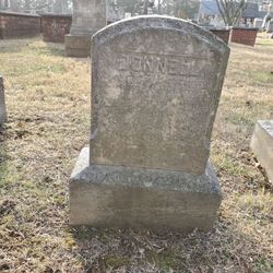
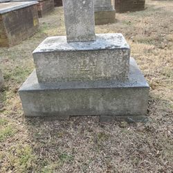
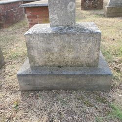
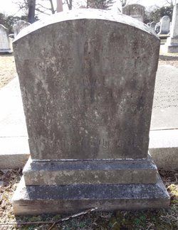
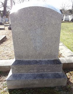
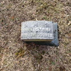
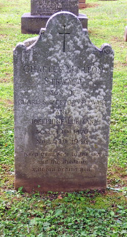
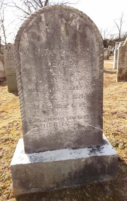
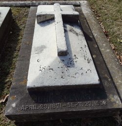
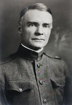
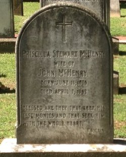
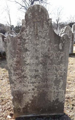
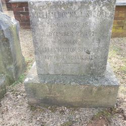
Donnell Stewart
| Birth | : | 23 Sep 1886 |
| Death | : | 16 Aug 1887 |
| Burial | : | Durnbach War Cemetery, Gmund am Tegernsee, Landkreis Miesbach, Germany |
| Coordinate | : | 47.7783790, 11.7335110 |
| Plot | : | Church yard, but no lot given |
| Description | : | Donnell died of dysentery. His mother, Josephine, was in Lake Geneva, Switzerland, the summer he died. Josephine returned home that Oct. Donnell's sister, Ellinor, christened one of her father's barkentines "White Wings" in memory of Donnell. |
frequently asked questions (FAQ):
-
Where is Donnell Stewart's memorial?
Donnell Stewart's memorial is located at: Durnbach War Cemetery, Gmund am Tegernsee, Landkreis Miesbach, Germany.
-
When did Donnell Stewart death?
Donnell Stewart death on 16 Aug 1887 in
-
Where are the coordinates of the Donnell Stewart's memorial?
Latitude: 47.7783790
Longitude: 11.7335110
Family Members:
Parent
Siblings
Flowers:
Nearby Cemetories:
1. Durnbach War Cemetery
Gmund am Tegernsee, Landkreis Miesbach, Germany
Coordinate: 47.7783790, 11.7335110
2. Kriegsgräberstätte Gmund am Tegernsee
Gmund am Tegernsee, Landkreis Miesbach, Germany
Coordinate: 47.7513710, 11.7290570
3. Neuer Friedhof Gmund am Tegernsee
Gmund am Tegernsee, Landkreis Miesbach, Germany
Coordinate: 47.7510164, 11.7407799
4. Alter Friedhof Gmund am Tegernsee
Gmund am Tegernsee, Landkreis Miesbach, Germany
Coordinate: 47.7501770, 11.7398275
5. Bergfriedhof Gmund am Tegernsee
Gmund am Tegernsee, Landkreis Miesbach, Germany
Coordinate: 47.7502260, 11.7439660
6. Kirchfriedhof St. Martin
Waakirchen, Landkreis Miesbach, Germany
Coordinate: 47.7726760, 11.6732527
7. Waldfriedhof
Miesbach, Landkreis Miesbach, Germany
Coordinate: 47.7916641, 11.8256664
8. Gemeindeverwaltung Friedhof
Hausham, Landkreis Miesbach, Germany
Coordinate: 47.7575700, 11.8284000
9. Friedhof Tegernsee
Tegernsee, Landkreis Miesbach, Germany
Coordinate: 47.7091410, 11.7561650
10. Sankt Quirinus Kirche Tegernsee
Tegernsee, Landkreis Miesbach, Germany
Coordinate: 47.7074580, 11.7567920
11. Bergfriedhof Bad Wiessee
Bad Wiessee, Landkreis Miesbach, Germany
Coordinate: 47.7049000, 11.7255420
12. Sankt Laurentius Friedhof
Rottach-Egern, Landkreis Miesbach, Germany
Coordinate: 47.6953150, 11.7619340
13. Auferstehungskirche Friedhof
Rottach-Egern, Landkreis Miesbach, Germany
Coordinate: 47.6934620, 11.7622380
14. Friedhof Schliersee
Schliersee, Landkreis Miesbach, Germany
Coordinate: 47.7369860, 11.8546390
15. Friedhof Weyarn
Weyarn, Landkreis Miesbach, Germany
Coordinate: 47.8590090, 11.7976060
16. Holzkirchen Neuer Friedhof
Holzkirchen, Landkreis Miesbach, Germany
Coordinate: 47.8724362, 11.7013965
17. Kirchfriedhof St. Sixtus
Schliersee, Landkreis Miesbach, Germany
Coordinate: 47.7333276, 11.8648793
18. Ringbergfriedhof
Kreuth, Landkreis Miesbach, Germany
Coordinate: 47.6754170, 11.7550140
19. Kath. Filialkirche St. Peter und Paul
Kirchbichl, Landkreis Bad Tölz-Wolfratshausen, Germany
Coordinate: 47.7987544, 11.5745742
20. Waldfriedhof Bad Tölz
Bad Tölz, Landkreis Bad Tölz-Wolfratshausen, Germany
Coordinate: 47.7708950, 11.5556220
21. Kath. Pfarrkirche St. Nikolaus
Wackersberg, Landkreis Bad Tölz-Wolfratshausen, Germany
Coordinate: 47.7356180, 11.5465876
22. Friedhof Otterfing
Otterfing, Landkreis Miesbach, Germany
Coordinate: 47.9113789, 11.6747466
23. Friedhof
Fischbachau, Landkreis Miesbach, Germany
Coordinate: 47.7207229, 11.9496712
24. Städtischer Friedhof
Berbling, Landkreis Rosenheim, Germany
Coordinate: 47.8438344, 11.9726557

