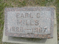
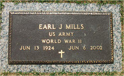
Earl Clinton Mills
| Birth | : | 11 Sep 1888 Wood Lake, Cherry County, Nebraska, USA |
| Death | : | 11 Aug 1967 |
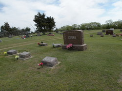
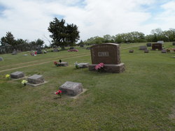
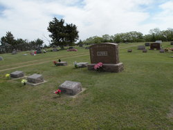
| Burial | : | Rosebud Cemetery, Bonesteel, Gregory County, USA |
| Coordinate | : | 43.0835991, -98.9405975 |
| Plot | : | Blk 11 Lot 2 Grave 2 |
frequently asked questions (FAQ):
-
Where is Earl Clinton Mills's memorial?
Earl Clinton Mills's memorial is located at: Rosebud Cemetery, Bonesteel, Gregory County, USA.
-
When did Earl Clinton Mills death?
Earl Clinton Mills death on 11 Aug 1967 in
-
Where are the coordinates of the Earl Clinton Mills's memorial?
Latitude: 43.0835991
Longitude: -98.9405975
Family Members:
Parent
Spouse
Siblings
Children
Flowers:
Nearby Cemetories:
1. Rosebud Cemetery
Bonesteel, Gregory County, USA
Coordinate: 43.0835991, -98.9405975
2. Saint Marys Cemetery
Bonesteel, Gregory County, USA
Coordinate: 43.0816994, -98.9413986
3. Saint Anthonys Cemetery
Fairfax, Gregory County, USA
Coordinate: 43.0532990, -98.8835983
4. Pleasant Valley Cemetery
Bonesteel, Gregory County, USA
Coordinate: 43.0327988, -98.9796982
5. Highland Cemetery
Fairfax, Gregory County, USA
Coordinate: 43.0236015, -98.8930969
6. Trinity Lutheran Cemetery
Fairfax, Gregory County, USA
Coordinate: 43.0102997, -98.8842010
7. Bethlehem Cemetery
Gregory County, USA
Coordinate: 43.0102997, -98.8041992
8. Mount Zion Cemetery
Naper, Boyd County, USA
Coordinate: 42.9701200, -99.0183400
9. Ducharme Cemetery
Charles Mix County, USA
Coordinate: 43.1652985, -98.8069000
10. West Hill Cemetery
Fairfax, Gregory County, USA
Coordinate: 43.0132440, -98.7839660
11. Old Settlers Cemetery
Anoka, Boyd County, USA
Coordinate: 42.9730988, -98.8005981
12. Anoka Lutheran Cemetery
Anoka, Boyd County, USA
Coordinate: 42.9522018, -98.8349991
13. Ponca Creek UCC Cemetery
Gregory County, USA
Coordinate: 43.0451800, -99.1491700
14. Sutton Family Cemetery
Bonesteel, Gregory County, USA
Coordinate: 43.2329900, -99.0216200
15. Saint Francis Xavier Cemetery
Saint Charles, Gregory County, USA
Coordinate: 43.0094337, -99.1375152
16. Milks Camp Episcopal Cemetery
Saint Charles, Gregory County, USA
Coordinate: 43.0378199, -99.1552354
17. Knoll Crest Cemetery
Naper, Boyd County, USA
Coordinate: 42.9589005, -99.0875015
18. Sacred Heart Cemetery
Naper, Boyd County, USA
Coordinate: 42.9586400, -99.0905900
19. Butte Cemetery
Butte, Boyd County, USA
Coordinate: 42.9235992, -98.8585968
20. Baker Messiah Lutheran Cemetery
Boyd County, USA
Coordinate: 42.9909780, -98.7423920
21. Saints Peter and Paul Cemetery
Butte, Boyd County, USA
Coordinate: 42.9221992, -98.8593979
22. Saint Joseph Catholic Cemetery
Boyd County, USA
Coordinate: 42.9878620, -98.7328110
23. German Cemetery
Naper, Boyd County, USA
Coordinate: 42.9696999, -99.1350021
24. Lutheran Cemetery
Naper, Boyd County, USA
Coordinate: 42.9585980, -99.1268810


