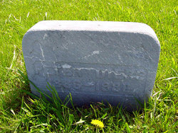
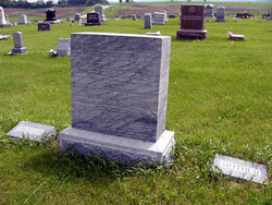
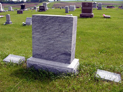
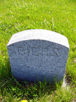
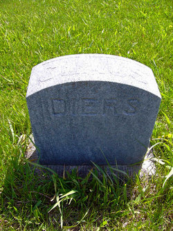
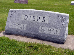
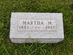
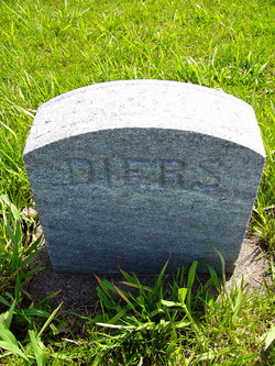
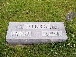
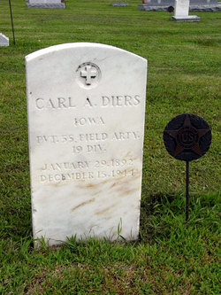
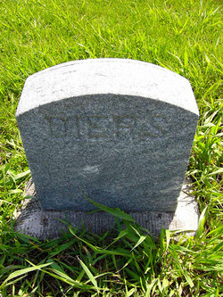
Emil Peter Diers
| Birth | : | 3 Jan 1886 Fontanelle, Adair County, Iowa, USA |
| Death | : | 18 Jul 1886 Fontanelle, Adair County, Iowa, USA |
| Burial | : | Ye Olde Robbins Burial Place, Imlaystown, Monmouth County, USA |
| Coordinate | : | 40.1892300, -74.4810200 |
| Plot | : | North half of fractional lot #19 original section |
frequently asked questions (FAQ):
-
Where is Emil Peter Diers's memorial?
Emil Peter Diers's memorial is located at: Ye Olde Robbins Burial Place, Imlaystown, Monmouth County, USA.
-
When did Emil Peter Diers death?
Emil Peter Diers death on 18 Jul 1886 in Fontanelle, Adair County, Iowa, USA
-
Where are the coordinates of the Emil Peter Diers's memorial?
Latitude: 40.1892300
Longitude: -74.4810200
Family Members:
Parent
Siblings
Flowers:
Nearby Cemetories:
1. Ye Olde Robbins Burial Place
Imlaystown, Monmouth County, USA
Coordinate: 40.1892300, -74.4810200
2. East Branch Friends Burial Ground
Imlaystown, Monmouth County, USA
Coordinate: 40.1887500, -74.4742900
3. Yellow Meeting House Cemetery
Red Valley, Monmouth County, USA
Coordinate: 40.1694500, -74.4726410
4. Clarksburg Cemetery
Clarksburg, Monmouth County, USA
Coordinate: 40.1916200, -74.4508100
5. Roosevelt Cemetery
Roosevelt, Monmouth County, USA
Coordinate: 40.2167206, -74.4564743
6. Emleys Hill Methodist Episcopal Churchyard
Cream Ridge, Monmouth County, USA
Coordinate: 40.1433334, -74.4830551
7. Perrineville Jewish Cemetery
Perrineville, Monmouth County, USA
Coordinate: 40.2367500, -74.4679700
8. Perrineville Presbyterian Churchyard
Perrineville, Monmouth County, USA
Coordinate: 40.2256165, -74.4300003
9. East Windsor Cemetery
Hightstown, Mercer County, USA
Coordinate: 40.2336121, -74.5236130
10. Hutchinson Family Burial Ground
Hightstown, Mercer County, USA
Coordinate: 40.2434200, -74.5008200
11. Sharon Methodist Episcopal Cemetery
Robbinsville, Mercer County, USA
Coordinate: 40.2046180, -74.5526530
12. Cream Ridge Cemetery
Cream Ridge, Monmouth County, USA
Coordinate: 40.1349068, -74.5234375
13. Etra Cemetery
Etra, Mercer County, USA
Coordinate: 40.2512970, -74.5008240
14. Saint Joseph Roman Catholic Cemetery
Millstone Township, Monmouth County, USA
Coordinate: 40.2214851, -74.4014664
15. Allentown Methodist Cemetery
Allentown, Monmouth County, USA
Coordinate: 40.1809578, -74.5833359
16. Princeton Memorial Park and Mausoleum
Robbinsville, Mercer County, USA
Coordinate: 40.2107900, -74.5800700
17. Hamilton Street Cemetery
Allentown, Monmouth County, USA
Coordinate: 40.1801200, -74.5846800
18. Old Christ Episcopal Burial Ground
Allentown, Monmouth County, USA
Coordinate: 40.1765300, -74.5844000
19. Allentown Presbyterian Church Cemetery
Allentown, Monmouth County, USA
Coordinate: 40.1737518, -74.5862503
20. Cook Cemetery
Millstone Township, Monmouth County, USA
Coordinate: 40.2413460, -74.3975420
21. Cedar Hill Cemetery
Hightstown, Mercer County, USA
Coordinate: 40.2630997, -74.5310974
22. Ward Burial Ground
Hightstown, Mercer County, USA
Coordinate: 40.2672670, -74.5249670
23. First Baptist Church Cemetery
Hightstown, Mercer County, USA
Coordinate: 40.2689900, -74.5234900
24. Saint Johns Cemetery
Allentown, Monmouth County, USA
Coordinate: 40.1742363, -74.5923615

