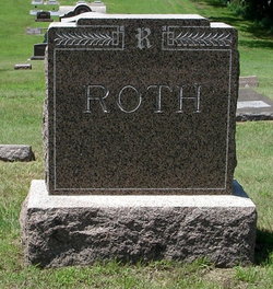
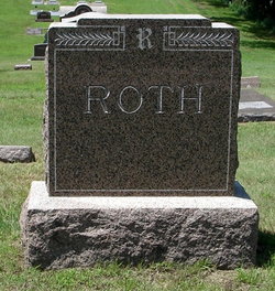
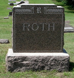
Frank M Roth
| Birth | : | 23 Jun 1898 |
| Death | : | 23 May 1978 |
| Burial | : | St John The Baptist Churchyard, Nettleton, West Lindsey District, England |
| Coordinate | : | 53.4867340, -0.3269800 |
| Description | : | |
frequently asked questions (FAQ):
-
Where is Frank M Roth's memorial?
Frank M Roth's memorial is located at: St John The Baptist Churchyard, Nettleton, West Lindsey District, England.
-
When did Frank M Roth death?
Frank M Roth death on 23 May 1978 in
-
Where are the coordinates of the Frank M Roth's memorial?
Latitude: 53.4867340
Longitude: -0.3269800
Family Members:
Parent
Spouse
Siblings
Flowers:
Nearby Cemetories:
1. St John The Baptist Churchyard
Nettleton, West Lindsey District, England
Coordinate: 53.4867340, -0.3269800
2. Caistor Cemetery
Caistor, West Lindsey District, England
Coordinate: 53.4968870, -0.3299210
3. St. Peter and St. Paul Churchyard
Caistor, West Lindsey District, England
Coordinate: 53.4963400, -0.3179900
4. Caistor Congregational Chapelyard
Caistor, West Lindsey District, England
Coordinate: 53.4971540, -0.3181850
5. St Nicholas Churchyard
Cabourne, West Lindsey District, England
Coordinate: 53.5015800, -0.2830600
6. St Mary Magdalene Churchyard
Rothwell, West Lindsey District, England
Coordinate: 53.4783820, -0.2693190
7. All Hallows Churchyard
Clixby, West Lindsey District, England
Coordinate: 53.5233610, -0.3384560
8. Grasby Church Burial Ground
Grasby, West Lindsey District, England
Coordinate: 53.5285230, -0.3598880
9. All Saints Churchyard
Grasby, West Lindsey District, England
Coordinate: 53.5295671, -0.3610532
10. St. Mary's Churchyard
Claxby, West Lindsey District, England
Coordinate: 53.4363000, -0.3287600
11. St Nicholas Church
Cuxwold, West Lindsey District, England
Coordinate: 53.4936120, -0.2347580
12. North Kelsey Cemetery
North Kelsey, West Lindsey District, England
Coordinate: 53.5043330, -0.4245830
13. Saint Nicholas and All Hallows Churc
North Kelsey, West Lindsey District, England
Coordinate: 53.5002181, -0.4266914
14. St Nicholas Churchyard
Searby, West Lindsey District, England
Coordinate: 53.5384960, -0.3830950
15. St Nicholas Church
South Kelsey, West Lindsey District, England
Coordinate: 53.4756720, -0.4297440
16. South Kelsey Brigg Road Cemetery
South Kelsey, West Lindsey District, England
Coordinate: 53.4755480, -0.4297340
17. St. Mary's Churchyard
South Kelsey, West Lindsey District, England
Coordinate: 53.4704260, -0.4321350
18. St. Martin Churchyard
North Owersby, West Lindsey District, England
Coordinate: 53.4387500, -0.4029500
19. St Margaret Churchyard
Somerby, West Lindsey District, England
Coordinate: 53.5455030, -0.3982090
20. St. Andrew's Churchyard
Stainton-le-Vale, West Lindsey District, England
Coordinate: 53.4333900, -0.2309600
21. Kirkby cum Osgodby Cemetery
Kirkby cum Osgodby, West Lindsey District, England
Coordinate: 53.4202700, -0.3977200
22. St Peter
Great Limber, West Lindsey District, England
Coordinate: 53.5619890, -0.2879080
23. Saint Peter's churchyard
Great Limber, West Lindsey District, England
Coordinate: 53.5620200, -0.2878700
24. St Andrew Churchyard
Kirkby cum Osgodby, West Lindsey District, England
Coordinate: 53.4210980, -0.4015720


