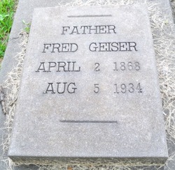
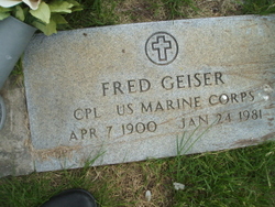
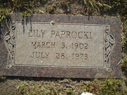
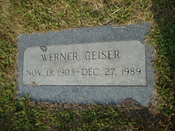
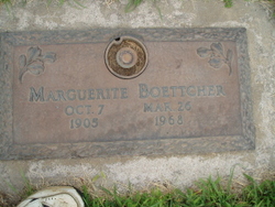
Fred Geiser
| Birth | : | 2 Apr 1868 Switzerland |
| Death | : | 5 Aug 1934 Columbus, Platte County, Nebraska, USA |
| Burial | : | Acklam Cemetery and Crematorium, Middlesbrough, Middlesbrough Unitary Authority, England |
| Coordinate | : | 54.5367830, -1.2423780 |
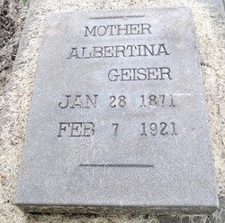
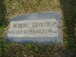
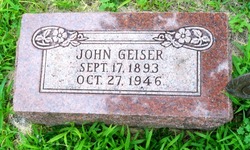
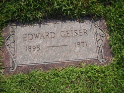
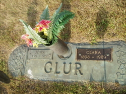
| Description | : | Fred is the son and fifth child of John Geiser & Mary Marty. Fred is the husband of Albertina Weisenfluh , they married on Feb 19, 1890 in Nebraska. Together Fred and Albertina had thirteen children; Albert, Louisa, John, Edward, Clara,Fred jr., Lillian, Werner, Mable(Twin), Marguetite(Twin), Alma, Albertina and Elinor. ~~~~~~~~~~~~~~~~~ The Beginnings of Fred and Albertina ~~~~~~~~~~~~~~~~~ GEISER-WEISENFLUH The Telegram of yesterday morning had an account of the arrest of Fred Geiser at the instance of Albertina Weisenfluh, who claimed that he was the father of her unborn child. The matter was happily settled... Read More |
frequently asked questions (FAQ):
-
Where is Fred Geiser's memorial?
Fred Geiser's memorial is located at: Acklam Cemetery and Crematorium, Middlesbrough, Middlesbrough Unitary Authority, England.
-
When did Fred Geiser death?
Fred Geiser death on 5 Aug 1934 in Columbus, Platte County, Nebraska, USA
-
Where are the coordinates of the Fred Geiser's memorial?
Latitude: 54.5367830
Longitude: -1.2423780
Family Members:
Parent
Spouse
Siblings
Children
Flowers:
Nearby Cemetories:
1. Acklam Cemetery and Crematorium
Middlesbrough, Middlesbrough Unitary Authority, England
Coordinate: 54.5367830, -1.2423780
2. Teesside Crematorium
Middlesbrough, Middlesbrough Unitary Authority, England
Coordinate: 54.5360840, -1.2456050
3. St Mary Churchyard
Acklam, Middlesbrough Unitary Authority, England
Coordinate: 54.5463400, -1.2491600
4. St Peter and St Paul Churchyard
Stainton, Middlesbrough Unitary Authority, England
Coordinate: 54.5195100, -1.2596600
5. St. Cuthbert Churchyard
Marton-in-Cleveland, Middlesbrough Unitary Authority, England
Coordinate: 54.5356950, -1.2057090
6. St Mary the Virgin Roman Catholic Cathedral
Middlesbrough, Middlesbrough Unitary Authority, England
Coordinate: 54.5228700, -1.2138200
7. Linthorpe Cemetery
Linthorpe, Middlesbrough Unitary Authority, England
Coordinate: 54.5602520, -1.2525080
8. Middlesbrough Old Jewish Cemetery
Middlesbrough, Middlesbrough Unitary Authority, England
Coordinate: 54.5598240, -1.2583780
9. Thornaby Cemetery
Thornaby on Tees, Stockton-on-Tees Unitary Authority, England
Coordinate: 54.5492000, -1.2826740
10. Ayresome Cemetery
Middlesbrough, Middlesbrough Unitary Authority, England
Coordinate: 54.5664300, -1.2411300
11. St. Joseph Roman Catholic Cemetery
North Ormesby, Middlesbrough Unitary Authority, England
Coordinate: 54.5661600, -1.2080500
12. North Ormesby Cemetery
North Ormesby, Middlesbrough Unitary Authority, England
Coordinate: 54.5658300, -1.2058100
13. St. Cuthbert's Churchyard
Ormesby, Middlesbrough Unitary Authority, England
Coordinate: 54.5428600, -1.1808090
14. St. Peter ad Vincula Churchyard
Thornaby on Tees, Stockton-on-Tees Unitary Authority, England
Coordinate: 54.5412998, -1.3044432
15. All Saints Parish
Middlesbrough, Middlesbrough Unitary Authority, England
Coordinate: 54.5741470, -1.2368980
16. St Paul Churchyard
Thornaby on Tees, Stockton-on-Tees Unitary Authority, England
Coordinate: 54.5517940, -1.3048610
17. Thorntree Cemetery
Middlesbrough, Middlesbrough Unitary Authority, England
Coordinate: 54.5607660, -1.1878970
18. Thorntree Roman Catholic Cemetery
Middlesbrough, Middlesbrough Unitary Authority, England
Coordinate: 54.5628810, -1.1884760
19. St Hilda's Churchyard
Middlesbrough, Middlesbrough Unitary Authority, England
Coordinate: 54.5825036, -1.2335990
20. St Mary Churchyard
Nunthorpe, Middlesbrough Unitary Authority, England
Coordinate: 54.5187530, -1.1670180
21. Saint Peter’s Church
Hilton, Stockton-on-Tees Unitary Authority, England
Coordinate: 54.4950000, -1.2825000
22. Holy Trinity Churchyard
Stockton-on-Tees, Stockton-on-Tees Unitary Authority, England
Coordinate: 54.5603000, -1.3151000
23. St Thomas Churchyard
Stockton-on-Tees, Stockton-on-Tees Unitary Authority, England
Coordinate: 54.5665430, -1.3123540
24. St Martin Churchyard
Seamer, Hambleton District, England
Coordinate: 54.4856000, -1.2322000

