
| Memorials | : | 0 |
| Location | : | Hilton, Stockton-on-Tees Unitary Authority, England |
| Coordinate | : | 54.4950000, -1.2825000 |
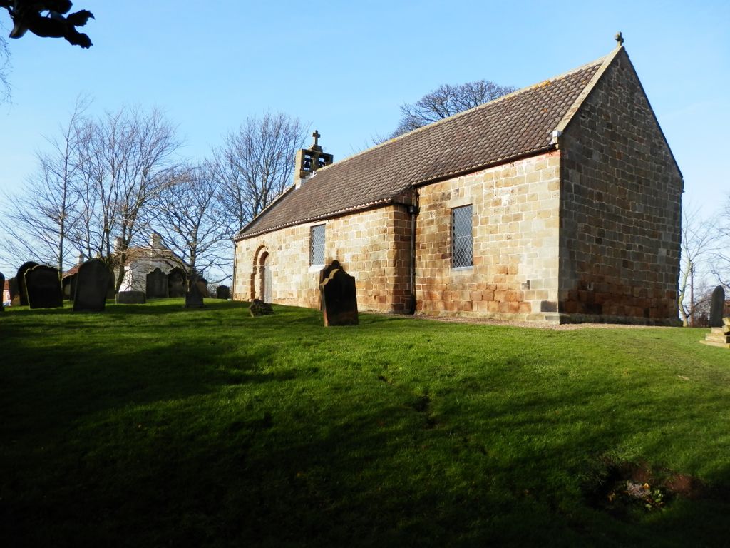
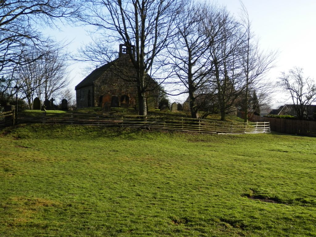
| Description | : | This small, 12th century church is largely unaltered since its building. It consists of a nave and chancel under a continuous roof approximately forty feet long. St Peter's was a chapel of ease to Rudby Church, then a perpetual curacy; then in the l9th century a separate parish with its own vicarage (now part of the Falcon Inn) . The registers began in 1698, the first marriage being recorded in 1754. The small churchyard is still in use. |
frequently asked questions (FAQ):
-
Where is Saint Peter’s Church?
Saint Peter’s Church is located at Seamer Road Hilton, Stockton-on-Tees Unitary Authority ,County Durham , TS15 9JHEngland.
-
Saint Peter’s Church cemetery's updated grave count on graveviews.com?
0 memorials
-
Where are the coordinates of the Saint Peter’s Church?
Latitude: 54.4950000
Longitude: -1.2825000
Nearby Cemetories:
1. St Peter and St Paul Churchyard
Stainton, Middlesbrough Unitary Authority, England
Coordinate: 54.5195100, -1.2596600
2. St Martin Churchyard
Seamer, Hambleton District, England
Coordinate: 54.4856000, -1.2322000
3. St. Martin's Churchyard
Kirklevington, Stockton-on-Tees Unitary Authority, England
Coordinate: 54.4822940, -1.3351050
4. All Saints Churchyard
Crathorne, Hambleton District, England
Coordinate: 54.4615000, -1.3176000
5. All Saints Churchyard
Hutton Rudby, Hambleton District, England
Coordinate: 54.4532040, -1.2737220
6. Yarm Cemetery
Yarm, Stockton-on-Tees Unitary Authority, England
Coordinate: 54.5037700, -1.3559300
7. St. John the Baptist Churchyard
Egglescliffe, Stockton-on-Tees Unitary Authority, England
Coordinate: 54.5121000, -1.3518000
8. Egglescliffe Cemetery
Egglescliffe, Stockton-on-Tees Unitary Authority, England
Coordinate: 54.5127200, -1.3520100
9. Saint Mary Magdalene Churchyard
Yarm, Stockton-on-Tees Unitary Authority, England
Coordinate: 54.5101150, -1.3575280
10. Teesside Crematorium
Middlesbrough, Middlesbrough Unitary Authority, England
Coordinate: 54.5360840, -1.2456050
11. Acklam Cemetery and Crematorium
Middlesbrough, Middlesbrough Unitary Authority, England
Coordinate: 54.5367830, -1.2423780
12. St. Peter ad Vincula Churchyard
Thornaby on Tees, Stockton-on-Tees Unitary Authority, England
Coordinate: 54.5412998, -1.3044432
13. St Mary the Virgin Roman Catholic Cathedral
Middlesbrough, Middlesbrough Unitary Authority, England
Coordinate: 54.5228700, -1.2138200
14. Thornaby Cemetery
Thornaby on Tees, Stockton-on-Tees Unitary Authority, England
Coordinate: 54.5492000, -1.2826740
15. St Mary Churchyard
Acklam, Middlesbrough Unitary Authority, England
Coordinate: 54.5463400, -1.2491600
16. Preston-on-Tees Municipal Cemetery
Stockton-on-Tees Unitary Authority, England
Coordinate: 54.5422400, -1.3367300
17. St Paul Churchyard
Thornaby on Tees, Stockton-on-Tees Unitary Authority, England
Coordinate: 54.5517940, -1.3048610
18. St Peter and St Paul Churchyard
Stokesley, Hambleton District, England
Coordinate: 54.4696430, -1.1902080
19. St. Cuthbert Churchyard
Marton-in-Cleveland, Middlesbrough Unitary Authority, England
Coordinate: 54.5356950, -1.2057090
20. St Peter and St Paul Churchyard Cemetery Extension
Stokesley, Hambleton District, England
Coordinate: 54.4693040, -1.1853160
21. All Saints Churchyard
Low Worsall, Hambleton District, England
Coordinate: 54.4824880, -1.3898180
22. Middlesbrough Old Jewish Cemetery
Middlesbrough, Middlesbrough Unitary Authority, England
Coordinate: 54.5598240, -1.2583780
23. Linthorpe Cemetery
Linthorpe, Middlesbrough Unitary Authority, England
Coordinate: 54.5602520, -1.2525080
24. Holy Trinity Churchyard
Stockton-on-Tees, Stockton-on-Tees Unitary Authority, England
Coordinate: 54.5603000, -1.3151000