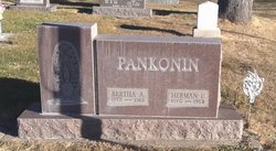
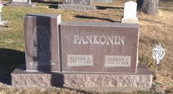
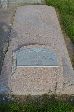
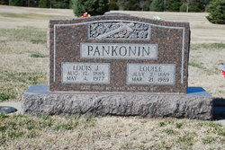
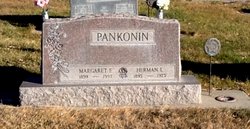
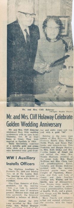
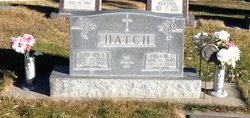
Herman Ernest Pankonin
| Birth | : | 25 Mar 1870 Louisville, Cass County, Nebraska, USA |
| Death | : | 13 Dec 1963 Perkins County, Nebraska, USA |
| Burial | : | Fairview Cemetery, Grant, Perkins County, USA |
| Coordinate | : | 40.8372002, -101.7391968 |
frequently asked questions (FAQ):
-
Where is Herman Ernest Pankonin's memorial?
Herman Ernest Pankonin's memorial is located at: Fairview Cemetery, Grant, Perkins County, USA.
-
When did Herman Ernest Pankonin death?
Herman Ernest Pankonin death on 13 Dec 1963 in Perkins County, Nebraska, USA
-
Where are the coordinates of the Herman Ernest Pankonin's memorial?
Latitude: 40.8372002
Longitude: -101.7391968
Family Members:
Parent
Spouse
Siblings
Children
Flowers:
Nearby Cemetories:
1. Fairview Cemetery
Grant, Perkins County, USA
Coordinate: 40.8372002, -101.7391968
2. Trinity Lutheran Cemetery
Grant, Perkins County, USA
Coordinate: 40.9605000, -101.7478000
3. Madrid Cemetery
Madrid, Perkins County, USA
Coordinate: 40.8371510, -101.5380900
4. Venango Cemetery
Venango, Perkins County, USA
Coordinate: 40.7416992, -102.0175018
5. Saint John's Lutheran Church Cemetery
Ogallala, Keith County, USA
Coordinate: 41.0617000, -101.5983000
6. Blanche Cemetery
Chase County, USA
Coordinate: 40.6841900, -101.4390900
7. Elsie Cemetery
Elsie, Perkins County, USA
Coordinate: 40.8499050, -101.3666140
8. Pickard Cemetery
Keith County, USA
Coordinate: 41.0482240, -101.4809320
9. Chase Cemetery
Chase, Chase County, USA
Coordinate: 40.5525017, -101.8078003
10. Brule Cemetery
Brule, Keith County, USA
Coordinate: 41.1060982, -101.8822021
11. Ogallala Cemetery
Ogallala, Keith County, USA
Coordinate: 41.1286011, -101.7472000
12. Boot Hill Cemetery
Ogallala, Keith County, USA
Coordinate: 41.1324997, -101.7256012
13. Walpole Cemetery
Perkins County, USA
Coordinate: 40.9157982, -101.3422012
14. Mount Hope Cemetery
Imperial, Chase County, USA
Coordinate: 40.5297012, -101.6607971
15. Amherst Cemetery
Phillips County, USA
Coordinate: 40.7056007, -102.1603012
16. Big Springs Cemetery
Big Springs, Deuel County, USA
Coordinate: 41.0592003, -102.0931015
17. Dunkard Cemetery
Amherst, Phillips County, USA
Coordinate: 40.6438000, -102.1356400
18. Greenlawn Cemetery
Lamar, Chase County, USA
Coordinate: 40.5231018, -101.9783020
19. Green Cemetery
Julesburg, Sedgwick County, USA
Coordinate: 40.8650000, -102.2284090
20. Lake View Cemetery
Champion, Chase County, USA
Coordinate: 40.4571991, -101.7705994
21. Saint John Catholic Cemetery
Hayes County, USA
Coordinate: 40.6027985, -101.3261032
22. Pleasant Valley Cemetery
Phillips County, USA
Coordinate: 40.5494003, -102.0899963
23. Pleasant Valley Cemetery
Yuma, Yuma County, USA
Coordinate: 40.5498000, -102.0909000
24. Paxton Cemetery
Paxton, Keith County, USA
Coordinate: 41.1088982, -101.3569031

