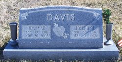
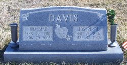
Ida Mae Patterson Davis
| Birth | : | 19 Feb 1910 Bible Grove, Scotland County, Missouri, USA |
| Death | : | 20 Nov 2006 Lewistown, Lewis County, Missouri, USA |
| Burial | : | South Cemetery, Bridgewater, Litchfield County, USA |
| Coordinate | : | 41.5161018, -73.3664017 |
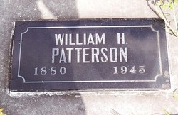
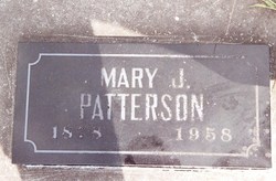
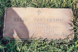
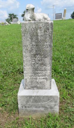
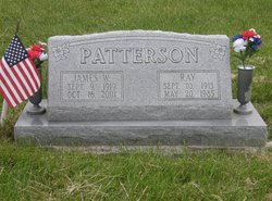
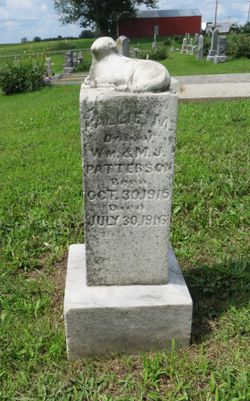
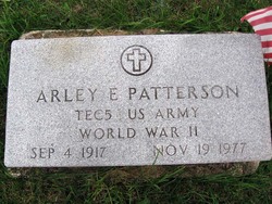
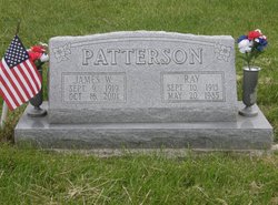
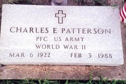
| Description | : | Ida Mae Davis, age 96, of Lewistown, Missouri, formerly of the Brashear and Bible Grove communities, passed away Monday, November 20, 2006 at the Country Aire Retirement Estates in Lewistown, Missouri. She was born February 19, 1910 at Bible Grove, Missouri, the daughter of William Horace and Mary Jane (Burns) Patterson. On January 12, 1935 at Edina, Missouri she was united in marriage to Joseph Herward "Herb" Davis and he preceded her in death on March 12, 1986. Mrs. Davis was also preceded in death by her parents; six brothers, Ellis, Ray, Arley, Floyd, Jim and Charley Patterson; one sister,... Read More |
frequently asked questions (FAQ):
-
Where is Ida Mae Patterson Davis's memorial?
Ida Mae Patterson Davis's memorial is located at: South Cemetery, Bridgewater, Litchfield County, USA.
-
When did Ida Mae Patterson Davis death?
Ida Mae Patterson Davis death on 20 Nov 2006 in Lewistown, Lewis County, Missouri, USA
-
Where are the coordinates of the Ida Mae Patterson Davis's memorial?
Latitude: 41.5161018
Longitude: -73.3664017
Family Members:
Parent
Spouse
Siblings
Flowers:
Nearby Cemetories:
1. South Cemetery
Bridgewater, Litchfield County, USA
Coordinate: 41.5161018, -73.3664017
2. Center Cemetery
Bridgewater, Litchfield County, USA
Coordinate: 41.5385400, -73.3677300
3. Gallow Hills Cemetery
New Milford, Litchfield County, USA
Coordinate: 41.5030823, -73.4178314
4. Quaker Cemetery
New Milford, Litchfield County, USA
Coordinate: 41.5374985, -73.4235992
5. Merwins Brook Cemetery
Brookfield, Fairfield County, USA
Coordinate: 41.4687470, -73.3812420
6. Laurel Hill Cemetery
Brookfield Center, Fairfield County, USA
Coordinate: 41.4836006, -73.4152985
7. Holy Cross Cemetery
New Milford, Litchfield County, USA
Coordinate: 41.5475006, -73.4169006
8. Saint Pauls Memorial Garden
Brookfield Center, Fairfield County, USA
Coordinate: 41.4679108, -73.3891068
9. Old South Cemetery
Roxbury, Litchfield County, USA
Coordinate: 41.5300590, -73.3005130
10. Congregational Church of Brookfield Mem Garden
Brookfield, Fairfield County, USA
Coordinate: 41.4665760, -73.3882590
11. Memorial Garden of the Congregational Church
Brookfield Center, Fairfield County, USA
Coordinate: 41.4656730, -73.3883478
12. Christ Church Columbarium
Roxbury, Litchfield County, USA
Coordinate: 41.5566400, -73.3095120
13. Seth Warner Gravesite
Roxbury, Litchfield County, USA
Coordinate: 41.5567970, -73.3089600
14. Saint Patrick Cemetery
Roxbury, Litchfield County, USA
Coordinate: 41.5645676, -73.3193207
15. Old South Cemetery
Brookfield Center, Fairfield County, USA
Coordinate: 41.4566383, -73.3828354
16. North Cemetery
Roxbury, Litchfield County, USA
Coordinate: 41.5659485, -73.3193207
17. Roxbury Center Cemetery
Roxbury, Litchfield County, USA
Coordinate: 41.5624886, -73.3115082
18. Pickett District Cemetery
New Milford, Litchfield County, USA
Coordinate: 41.5672384, -73.4140704
19. Great Oak Cemetery
Roxbury, Litchfield County, USA
Coordinate: 41.5649000, -73.3142470
20. Central Cemetery
Brookfield Center, Fairfield County, USA
Coordinate: 41.4610100, -73.4070892
21. Prince of Peace Lutheran Cemetery
Brookfield, Fairfield County, USA
Coordinate: 41.4553680, -73.4002640
22. Old Cemetery
Roxbury, Litchfield County, USA
Coordinate: 41.5471611, -73.2876282
23. Saint Francis Xavier Cemetery
New Milford, Litchfield County, USA
Coordinate: 41.5715485, -73.4218826
24. Saint Johns Episcopal Church Memorial Garden
New Milford, Litchfield County, USA
Coordinate: 41.5791230, -73.4106480

