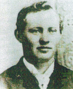
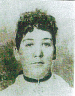
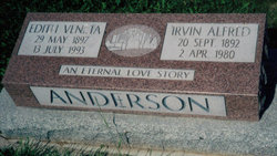
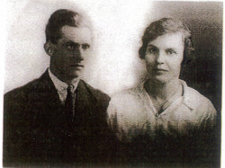
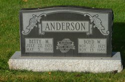
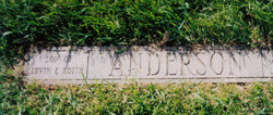
Irvin Alfred Anderson
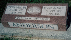
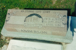
| Birth | : | 20 Sep 1892 Provo, Utah County, Utah, USA |
| Death | : | 2 Apr 1980 Taber, Lethbridge Census Division, Alberta, Canada |
| Burial | : | Seventh Day Hollow Cemetery, Otselic, Chenango County, USA |
| Coordinate | : | 42.6847100, -75.7616800 |
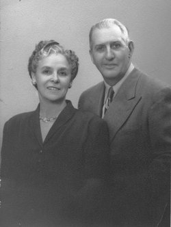
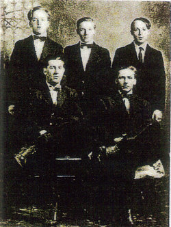
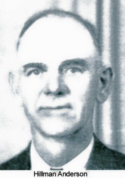
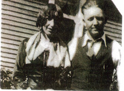
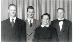
| Description | : | Irvin is my great grandfather. Irvin & Edith were married in Hill Springs Alberta .Irvin & Edith started farming in the spring of 1917 two miles north one mile west of Barnwell Alberta . Irvin met Edith in Feb 1917 & married Dec 10 . There first crop was 160 bushels of wheat gathered from the ground a small pond of water . The rest of the land that they owned was to dry to raise anything . It was a very dry year for everyone . The year of 1918 a bad flu struck there community & right at... Read More |
frequently asked questions (FAQ):
-
Where is Irvin Alfred Anderson's memorial?
Irvin Alfred Anderson's memorial is located at: Seventh Day Hollow Cemetery, Otselic, Chenango County, USA.
-
When did Irvin Alfred Anderson death?
Irvin Alfred Anderson death on 2 Apr 1980 in Taber, Lethbridge Census Division, Alberta, Canada
-
Where are the coordinates of the Irvin Alfred Anderson's memorial?
Latitude: 42.6847100
Longitude: -75.7616800
Family Members:
Parent
Spouse
Siblings
Children
Flowers:
Nearby Cemetories:
1. Seventh Day Hollow Cemetery
Otselic, Chenango County, USA
Coordinate: 42.6847100, -75.7616800
2. Rhode Island Cemetery
Rhode Island, Chenango County, USA
Coordinate: 42.6734300, -75.8001500
3. Tallett Hill Cemetery
Otselic, Chenango County, USA
Coordinate: 42.6656800, -75.7250900
4. Maple Grove Cemetery
Otselic, Chenango County, USA
Coordinate: 42.7106018, -75.7311020
5. Valley View Cemetery
South Otselic, Chenango County, USA
Coordinate: 42.6450000, -75.7819440
6. Hopkins Cemetery
Otselic, Chenango County, USA
Coordinate: 42.6680300, -75.7029700
7. Stanbro Cemetery
Otselic, Chenango County, USA
Coordinate: 42.6758700, -75.6916700
8. Robbins Cemetery
Beaver Meadow, Chenango County, USA
Coordinate: 42.6891200, -75.6904600
9. Northwest Corners Cemetery
Pharsalia, Chenango County, USA
Coordinate: 42.6298660, -75.7728070
10. Ufford Corners Cemetery
North Pitcher, Chenango County, USA
Coordinate: 42.6301100, -75.8087800
11. Cole Hill Cemetery
Otselic, Chenango County, USA
Coordinate: 42.6500015, -75.6872025
12. Lincklaen Center Cemetery
Lincklaen Center, Chenango County, USA
Coordinate: 42.7100000, -75.8494440
13. Texas Hill Cemetery
Georgetown, Madison County, USA
Coordinate: 42.7449670, -75.7083330
14. Newton Cemetery
North Pharsalia, Chenango County, USA
Coordinate: 42.6155500, -75.7311200
15. Crumb Hill Cemetery
DeRuyter, Madison County, USA
Coordinate: 42.7425003, -75.8218994
16. North Pitcher Cemetery
Pitcher, Chenango County, USA
Coordinate: 42.6250000, -75.8189011
17. Bonney Cemetery
Smyrna, Chenango County, USA
Coordinate: 42.7217200, -75.6703000
18. Woodlawn Cemetery
Lincklaen, Chenango County, USA
Coordinate: 42.6722900, -75.8704730
19. Lane Hill Cemetery
Lincklaen, Chenango County, USA
Coordinate: 42.6626360, -75.8692430
20. Georgetown Baptist Church Cemetery
Georgetown, Madison County, USA
Coordinate: 42.7666000, -75.7378500
21. Pharsalia Center Cemetery
Pharsalia, Chenango County, USA
Coordinate: 42.5993996, -75.7530975
22. Frink Cemetery
Pharsalia, Chenango County, USA
Coordinate: 42.6147003, -75.6903000
23. Kirk Cemetery
North Pharsalia, Chenango County, USA
Coordinate: 42.6105550, -75.6980550
24. Hillside Cemetery
Georgetown, Madison County, USA
Coordinate: 42.7703018, -75.7296982

