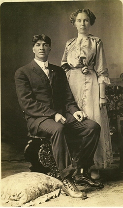
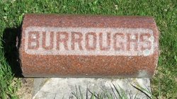
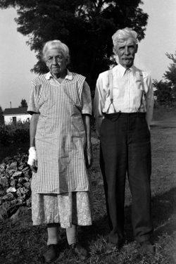
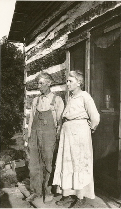
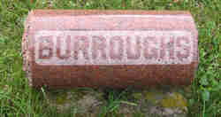
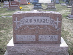
John Edward Burroughs
| Birth | : | 29 Oct 1890 |
| Death | : | 13 Aug 1921 |
| Burial | : | British Cemetery, Kathmandu, Kathmandu District, Nepal |
| Coordinate | : | 27.7245260, 85.3144600 |
| Description | : | The funeral of John Edward Burroughs was held at Mount Hope church Wednesday with burial in the English Bench cemetery. Mr. Burroughs met accidental death Saturday evening last when he was killed by lightning on a farm near Vinton, Iowa. About 6:30 he went on horseback after the cows, just as a thunderstorm was gathering. His wife is fearful of lightning and when he did not appear at the house after the storm broke, she mistrusted his plight and sought for him. She found his lifeless body lying beside the horse which he had ridden and which was also killed... Read More |
frequently asked questions (FAQ):
-
Where is John Edward Burroughs's memorial?
John Edward Burroughs's memorial is located at: British Cemetery, Kathmandu, Kathmandu District, Nepal.
-
When did John Edward Burroughs death?
John Edward Burroughs death on 13 Aug 1921 in
-
Where are the coordinates of the John Edward Burroughs's memorial?
Latitude: 27.7245260
Longitude: 85.3144600
Family Members:
Parent
Spouse
Siblings
Children
Nearby Cemetories:
1. Godavari Ashram
Kathmandu, Kathmandu District, Nepal
Coordinate: 27.5945900, 85.3802000
2. Mount Everest
Mount Everest, Solukhumbu District, Nepal
Coordinate: 27.9880560, 86.9252780
3. North Slope of Mount Everest
China
Coordinate: 27.9977470, 86.9310800
4. Mount Annapurna
Myagdi District, Nepal
Coordinate: 28.5954620, 83.8202040
5. Saharsa Mission Cemetery
India
Coordinate: 25.8764410, 86.5979160
6. Mount Kangchenjunga
Taplejung District, Nepal
Coordinate: 27.7022630, 88.1479210
7. Fyzabad Cantonment Cemetery
India
Coordinate: 26.7887500, 82.1346800
8. Britishers Graveyard, Rangamati Tea Garden.
India
Coordinate: 26.8932682, 88.6849670
9. Raghunathpur Mission Cemetery
India
Coordinate: 23.5345600, 86.6713140
10. Nagod British Cemetery
India
Coordinate: 24.5700000, 80.6000000
11. Beldih Cemetery
India
Coordinate: 22.4831700, 86.1111000
12. Valley of the Kings
China
Coordinate: 29.0100000, 91.6800000
13. Kulpotak Baptist Burial Ground
Dhaka, Dhaka District, Bangladesh
Coordinate: 24.7718700, 90.9886600
14. Mohammadpur Old Cemetery
Dhaka, Dhaka District, Bangladesh
Coordinate: 23.7633138, 90.3677671
15. Banani Graveyard
Dhaka, Dhaka District, Bangladesh
Coordinate: 23.7996360, 90.4037810
16. Rayer Bazar Intellectual Cemetery
Dhaka District, Bangladesh
Coordinate: 23.7486890, 90.3569714
17. Chandrima Uddan
Dhaka, Dhaka District, Bangladesh
Coordinate: 23.7666220, 90.3781320
18. Suhrawardy Udyan National Memorial
Dhaka, Dhaka District, Bangladesh
Coordinate: 23.7342890, 90.3983270
19. Lalbagh Fort
Dhaka, Dhaka District, Bangladesh
Coordinate: 23.7188040, 90.3875900
20. Begum Bazar Cemetery
Dhaka District, Bangladesh
Coordinate: 23.7173870, 90.3991079
21. God's Acre Baptist Cemetery
Dhaka, Dhaka District, Bangladesh
Coordinate: 23.7154230, 90.4181810
22. Mausoleum of Father of the Nation
Gopalganj District, Bangladesh
Coordinate: 22.9365490, 89.9009940
23. Dinamardinga
India
Coordinate: 21.4941517, 86.9316457
24. Maynamati War Cemetery
Comilla, Cumilla District, Bangladesh
Coordinate: 23.4870300, 91.1129300

