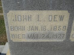
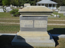
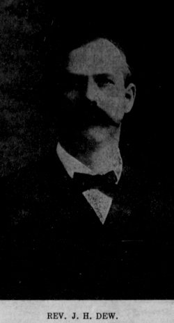
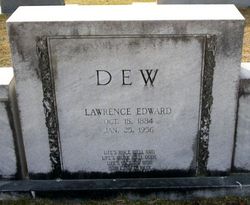
John Lane Dew
| Birth | : | 18 Jan 1859 South Carolina, USA |
| Death | : | 24 Mar 1927 Latta, Dillon County, South Carolina, USA |
| Burial | : | Martiny Township Cemetery, Martiny Township, Mecosta County, USA |
| Coordinate | : | 43.6852989, -85.3097000 |
frequently asked questions (FAQ):
-
Where is John Lane Dew's memorial?
John Lane Dew's memorial is located at: Martiny Township Cemetery, Martiny Township, Mecosta County, USA.
-
When did John Lane Dew death?
John Lane Dew death on 24 Mar 1927 in Latta, Dillon County, South Carolina, USA
-
Where are the coordinates of the John Lane Dew's memorial?
Latitude: 43.6852989
Longitude: -85.3097000
Family Members:
Parent
Spouse
Siblings
Children
Flowers:
Nearby Cemetories:
1. Martiny Township Cemetery
Martiny Township, Mecosta County, USA
Coordinate: 43.6852989, -85.3097000
2. Rodney Cemetery
Rodney, Mecosta County, USA
Coordinate: 43.6703491, -85.3264923
3. Chippewa Lake Cemetery
Chippewa Township, Mecosta County, USA
Coordinate: 43.7494011, -85.2900009
4. Mount Hope Cemetery
Mecosta, Mecosta County, USA
Coordinate: 43.6260986, -85.2406006
5. 160th Avenue South Cemetery
Big Rapids, Mecosta County, USA
Coordinate: 43.7436111, -85.4038889
6. Dye Cemetery
Mecosta, Mecosta County, USA
Coordinate: 43.6646004, -85.1864929
7. Eaton Cemetery
Barryton, Mecosta County, USA
Coordinate: 43.7564011, -85.2202988
8. Pine Plains Cemetery
Big Rapids, Mecosta County, USA
Coordinate: 43.6680984, -85.4436035
9. Sparks Cemetery
Chippewa Township, Mecosta County, USA
Coordinate: 43.7724991, -85.2442017
10. 21 Mile South Cemetery
Grant Center, Mecosta County, USA
Coordinate: 43.7713000, -85.3875000
11. 21 Mile North Cemetery
Grant Center, Mecosta County, USA
Coordinate: 43.7710000, -85.3885000
12. Olin Cemetery
Stanwood, Mecosta County, USA
Coordinate: 43.5879000, -85.3719500
13. Morgan Cemetery
Wheatland Township, Mecosta County, USA
Coordinate: 43.6150017, -85.1932983
14. Pioneer Cemetery
Grant Township, Mecosta County, USA
Coordinate: 43.8005981, -85.3439026
15. Church Cemetery
Chippewa Township, Mecosta County, USA
Coordinate: 43.8058300, -85.2662240
16. Saint Andrews Episcopal Church Columbarium
Big Rapids, Mecosta County, USA
Coordinate: 43.6946130, -85.4835020
17. Saint Michaels Cemetery
Remus, Mecosta County, USA
Coordinate: 43.5959587, -85.1854782
18. Morton Township Cemetery
Mecosta, Mecosta County, USA
Coordinate: 43.5710983, -85.2249985
19. Brown Cemetery
Barryton, Mecosta County, USA
Coordinate: 43.7663994, -85.1682968
20. Highland View Cemetery
Big Rapids, Mecosta County, USA
Coordinate: 43.7032318, -85.4905319
21. Flake Cemetery
Barryton, Mecosta County, USA
Coordinate: 43.7372017, -85.1280975
22. Quigley Cemetery
Deerfield Township, Mecosta County, USA
Coordinate: 43.5536003, -85.3930969
23. Strong Cemetery
Sheridan Township, Mecosta County, USA
Coordinate: 43.7108002, -85.1117020
24. Stanwood Cemetery
Stanwood, Mecosta County, USA
Coordinate: 43.5769691, -85.4444885

