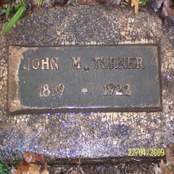
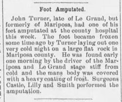
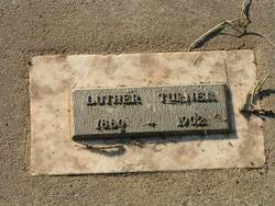
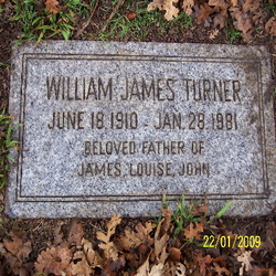
John McCord Turner
| Birth | : | 1859 Johnson County, Missouri, USA |
| Death | : | 21 Oct 1922 Merced County, California, USA |
| Burial | : | Collis Cemetery, Little Switzerland, Mitchell County, USA |
| Coordinate | : | 35.8628006, -82.1117020 |
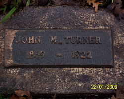
| Description | : | DOB: 26 Jan 1857. Marker shows 1859. |
frequently asked questions (FAQ):
-
Where is John McCord Turner's memorial?
John McCord Turner's memorial is located at: Collis Cemetery, Little Switzerland, Mitchell County, USA.
-
When did John McCord Turner death?
John McCord Turner death on 21 Oct 1922 in Merced County, California, USA
-
Where are the coordinates of the John McCord Turner's memorial?
Latitude: 35.8628006
Longitude: -82.1117020
Family Members:
Parent
Spouse
Siblings
Children
Nearby Cemetories:
1. Collis Cemetery
Little Switzerland, Mitchell County, USA
Coordinate: 35.8628006, -82.1117020
2. Burnett Cemetery
Little Switzerland, Mitchell County, USA
Coordinate: 35.8560982, -82.1035995
3. Boyd Cemetery
Mitchell County, USA
Coordinate: 35.8444260, -82.1151260
4. Church of the Resurrection Memory Garden
Little Switzerland, Mitchell County, USA
Coordinate: 35.8508333, -82.0905556
5. Buchanan Burial Ground
Little Switzerland, Mitchell County, USA
Coordinate: 35.8496080, -82.0910990
6. Stafford Cemetery
Mitchell County, USA
Coordinate: 35.8950005, -82.1207962
7. Fairview Baptist Church Cemetery
Celo, Yancey County, USA
Coordinate: 35.8549900, -82.1547700
8. McHone Cemetery
Mitchell County, USA
Coordinate: 35.8974991, -82.0892029
9. Liberty Hill Baptist Church Cemetery
Spruce Pine, Mitchell County, USA
Coordinate: 35.9007600, -82.1272000
10. Silvers Cemetery
Mitchell County, USA
Coordinate: 35.9042015, -82.1121979
11. Hollifield Cemetery
McDowell County, USA
Coordinate: 35.8280983, -82.0777969
12. Greenlee Memorial Cemetery
Grassy Creek, Mitchell County, USA
Coordinate: 35.8831700, -82.0596700
13. Cox Cemetery
Mitchell County, USA
Coordinate: 35.9039001, -82.1402969
14. Grassy Creek Baptist Church Cemetery
Grassy Creek, Mitchell County, USA
Coordinate: 35.8813700, -82.0542130
15. Ballew Cemetery
Yancey County, USA
Coordinate: 35.8344002, -82.1635971
16. Spruce Pine Memorial Cemetery
Spruce Pine, Mitchell County, USA
Coordinate: 35.9035988, -82.0730972
17. James Fox Cemetery
Celo, Yancey County, USA
Coordinate: 35.8643700, -82.1759100
18. Grassy Creek Memorial Cemetery
Grassy Creek, Mitchell County, USA
Coordinate: 35.8648220, -82.0451030
19. Tolley Cemetery
Spruce Pine, Mitchell County, USA
Coordinate: 35.9113998, -82.0824966
20. Berry Chapel Baptist Cemetery
Spruce Pine, Mitchell County, USA
Coordinate: 35.9065422, -82.0622739
21. Latter Day Saints Church Cemetery
McDowell County, USA
Coordinate: 35.8119910, -82.0704180
22. Liberty Chapel Church Cemetery
Celo, Yancey County, USA
Coordinate: 35.8553100, -82.1866700
23. Bailey Cemetery
Penland, Mitchell County, USA
Coordinate: 35.9247017, -82.1050034
24. Bracher Cemetery
Yancey County, USA
Coordinate: 35.8074989, -82.1489029

